It’s been a while since I made a post, but don’t worry! I’ve definitely been keeping myself busy. The highlight of these past few weeks was definitely hiking the enchantments in one day, but I also did a whole bunch of other things which you can read all about below!
Work
Stand Exam Verification
A few weeks ago, I finally got to actually go out and verify the data that the stand exam contractors were taking. We got the maps sorted out, and I even got a map of the OHV (off-highway-vehicle) trails that I was driving on. Turns out the last time I was down here I was trying to drive on a trail designed for experienced motorbikers. This time I went on to the easy 4 wheel trail and it was pretty much just a gravel road, which was significantly nicer to to on.
You can read all about the basics of stand exams in the last post I made.
The day I went out, I was focused on tree species, diameter, and height, as well as slope percentage and aspect. It was pretty similar to cruising, just with a different form I had to fill out!
If you already know all of this stuff feel (or you don’t care) free to skip to the next section – I will be explaining how heights and diameters are measured for a few paragraphs.
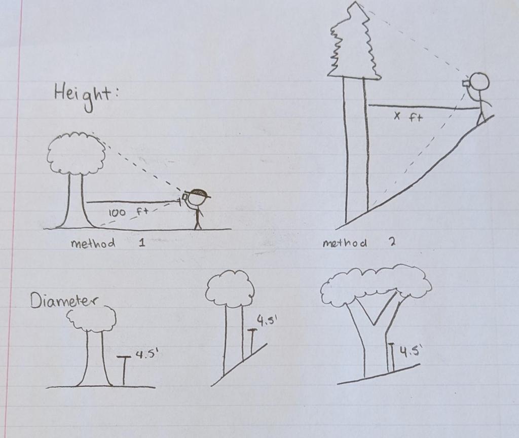
Above is a quick sketch I made about how diameter and height are measured.
It’s possible to measure height with multiple tools, but we use laser rangefinders (which I talked about in the last blog) because they’re more versatile and simple to use than using something like a clinometer, which is used to measure slope. There are a couple of different ways you can measure height depending on what type of tool you’re using, but I always use method 2 (standing an arbitrary distance away from the tree and shooting a laser) unless I absolutely have to (like when they make us do it in school). The advantage of method 1, which is standing 100 feet away from the tree and using a clinometer is that you don’t need an expensive rangefinder to get height and you can subtract the slope percentages without having to do super complicated math in the field.
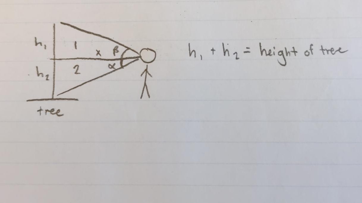
First, the rangefinder shoots a laser at the trunk of the tree to measure distance away, then it can measure the angles between the bottom and the top of the tree. Once those values are determined, the laser uses trigonometry to calculate the height of the tree. Think 
Going back to the first diagram above, diameter is always measured at DBH (diameter at breast height), which is a standard 4.5′ from the ground on the uphill side of the tree. If the tree splits into two stems below 4.5′, it’s treated as 2 trees, but if it splits above, it’s treated as one. I have a special measuring tape that’s calibrated to measure diameter and it can tell me what the diameter of a tree is within 0.1 inches (assuming I wrap it around right). The tape needs to be perpendicular to the growth of the tree, which is easier said than done – otherwise you’re measuring an oval cross-section of the tree, which can be larger than the actual diameter.
For a more detailed video, you can watch this!
And for those wondering, the inspectors did a good job on their first inspection! They’re getting good data that matches pretty similarly to mine, so I gave them a passing score on a sheet that I fill out.
Lichen Surveys
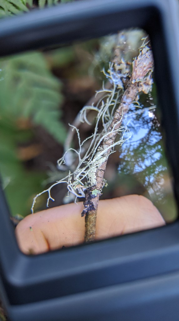
A few weeks ago, I joined our botanist on a short field trip to a different part of the Carbon River area to do some lichen surveys for a completely unrelated Carbon River project!
We met within 200 feet of the Mt Rainier National Park Boundary, close to the Carbon River Entrance at the (infamous at least to us) Carbon River Bridge. That video I linked is a drone overview of the bridge that connects forest service road 78 with Coplay and Summit Lakes. People like to camp near the bridge and importantly, it’s being washed out because of the carbon river wanting to flow into the road. This has been a problem for a while, and FS Engineering has had a series of log-based bank stabilizers that are starting to rot.
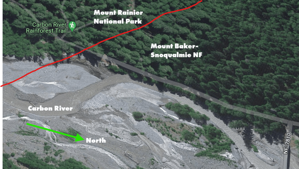
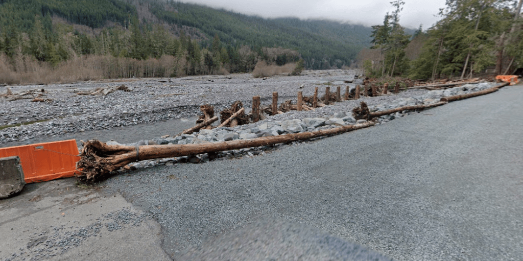
So the road now needs new logs to keep the bank stable, which they plan to obtain from the other side of the river up the mountain. They want to pick the largest and sturdiest trees for the project and it was botany’s job to go out and survey the area for endangered lichen and moss, which are can occur in the area.
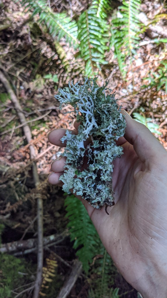
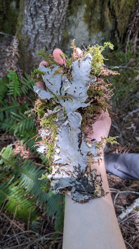
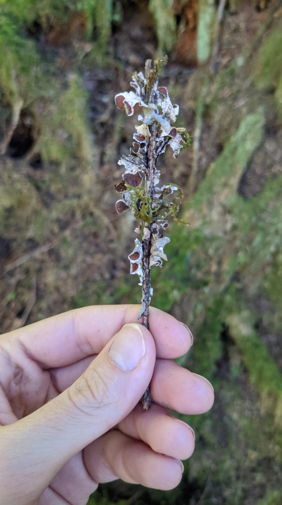
We were also surveying for vascular plants like orchids, but there was a contractor with us who was an expert in finding those. We just had to worry about lichen and moss!
We didn’t find any rare lichen, which was good, and that means that more likely than not engineering can take out those trees to put in the river. The reason we were checking was because large trees can have an impact on microclimate in an area, leading to the development of different lichen, moss, and fungi.
I’m not sure, though about the long-term viability of the project because of the unstable soils in the area, especially how prone it is for landslides. Removing those trees (roots and all) may not be the best idea, but I haven’t seen the structural analysis and it may end up being totally fine for the soil.
Corridor Approval
Back in timber land, I spent a few days helping Sale Administration approve temporary road corridors on an active timber sale so that loggers are able to go in to various areas during the sale.
This is one of the core functions of being a sale admin and is necessary when loggers are asking for permission to make temporary roads.
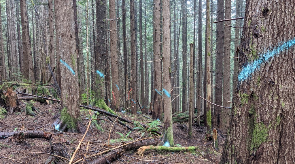
The reason they need permission is because (especially in these sales) not all trees are allowed to be cut. We have size and species restrictions that prevent trees above a certain diameter and of specific species from being cut. In this sale, red cedar is a non-cut species, but when loggers need to build a road to get to the rest of the timber that they bought and a red cedar tree is in the way, they need sale admin to come out and tell them if the road they’re planning is okay or if they need to pick a different route.
For this, green paint is used – although it looks more like teal. You can see it in the last photo above. Any tree that has that paint on it can be cut, which makes green a pretty powerful color to have.
We ended up also checking their water management on the roads, which can be hugely important in the future after the roads are decommissioned. Logging systems and the decommissioning of logging systems is something I have limited experience in, but it’s a whole world unto itself that can take an entire career to understand.
I helped with sale admin for two days and got to listen to a lot of audiobooks, which I really enjoyed!
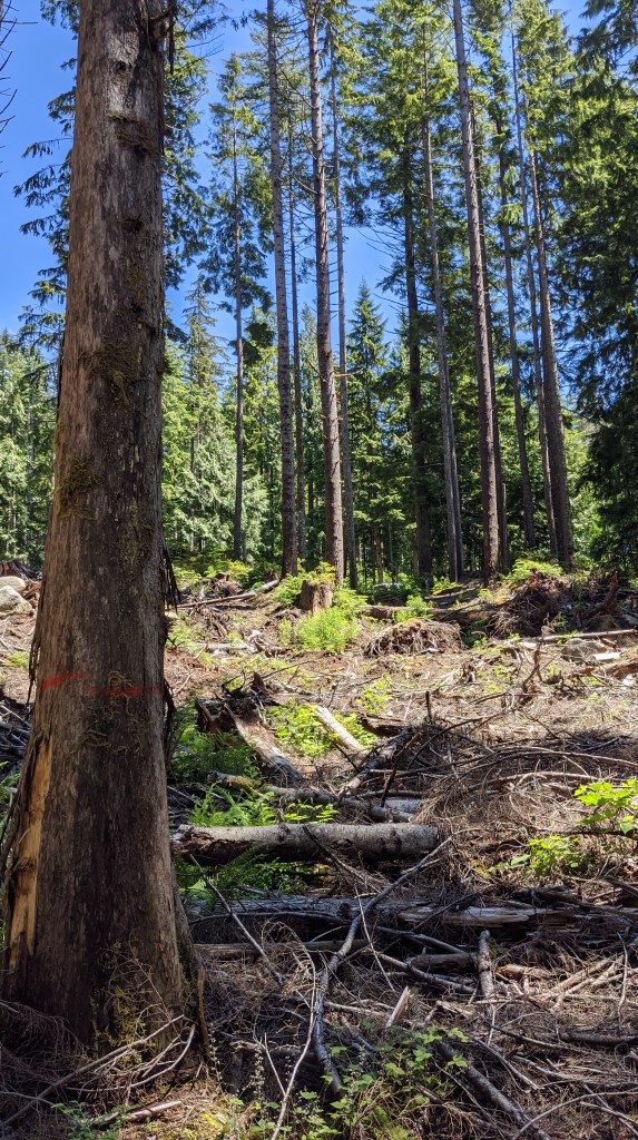
Regeneration Surveys
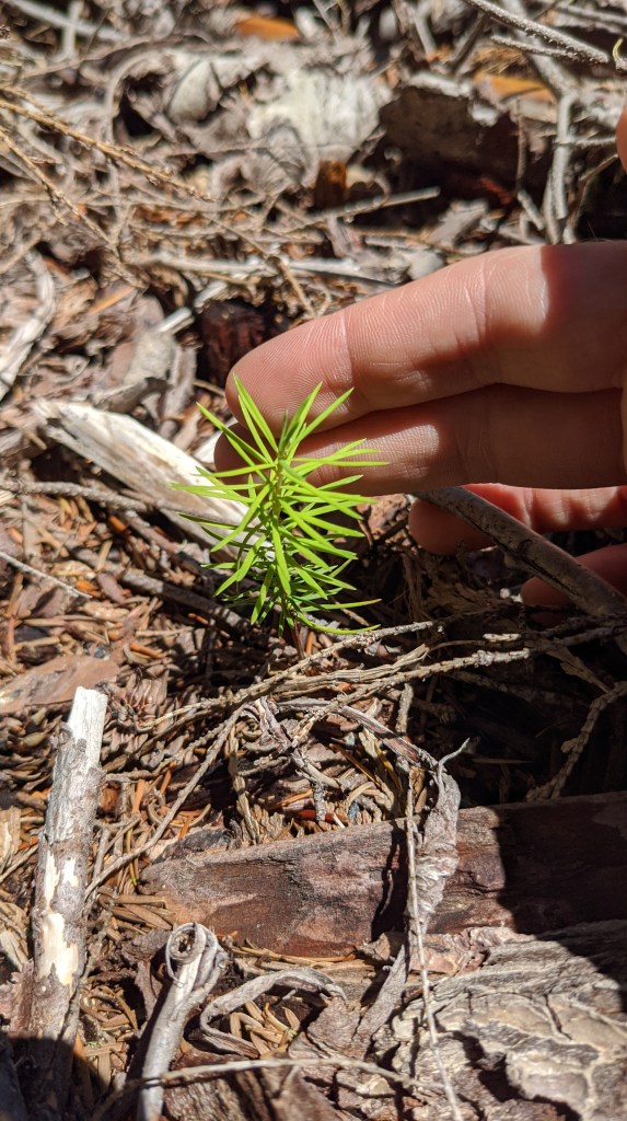
I had a half day of work last Friday that I used to complete some regeneration surveys on a timber sale that was finished a few years ago. The sale was pretty close to North Bend, so I didn’t have to travel super far!
I did a bunch of regen surveys last year, which you can read all about here.
This year, instead of doing fire regen, it’s just timber harvest regen – which isn’t that different but there is significantly less ash involved!
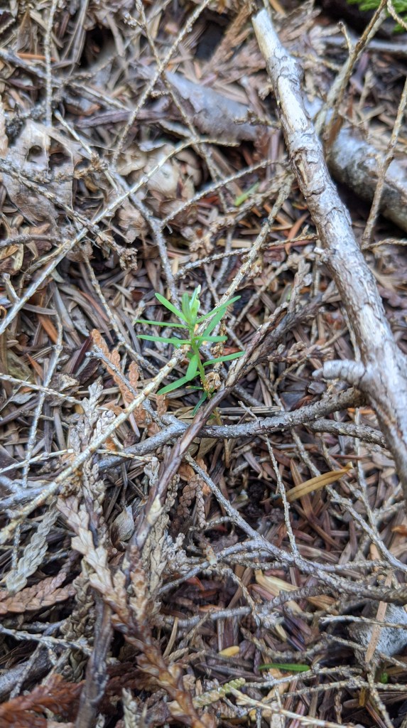
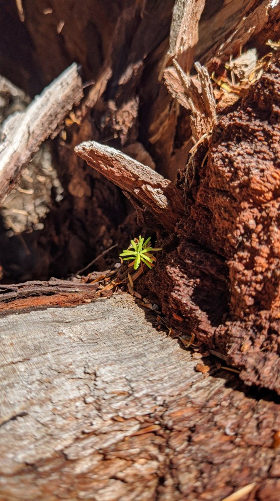
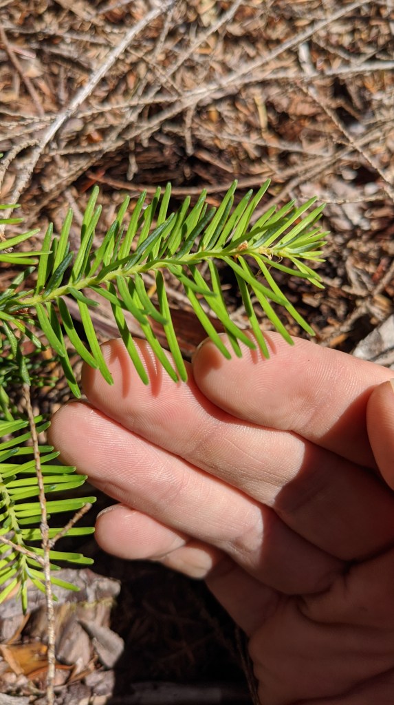
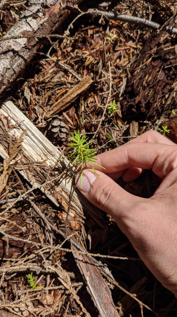
Seedling identification came back to me pretty easily, but I did need my field guide that I printed last year to refresh myself.
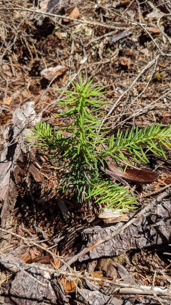
ID is pretty straightforward. You start by looking at the cotyledons, which are the longer looking leaves at the base of the seedling above. How they’re arranged and shaped matters and can tell you a lot about the seedling all the way up to genus and sometimes species. From there you can look at the regular new-growth leaves if there are any, which can provide specifics and allow you to identify species.
Douglas fir seedlings have super pointed leaves that look almost like needles, while hemlock and firs have needles that are more rounded. After doing it for a while, you don’t need to consult the manual anymore, which is super nice.
For this sale, the regeneration numbers greatly exceed the expected amount, which we are super happy about! It means that we don’t have to seed and the sale is naturally recovering on its own.
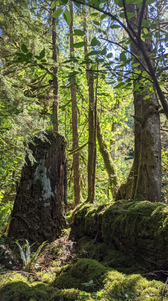
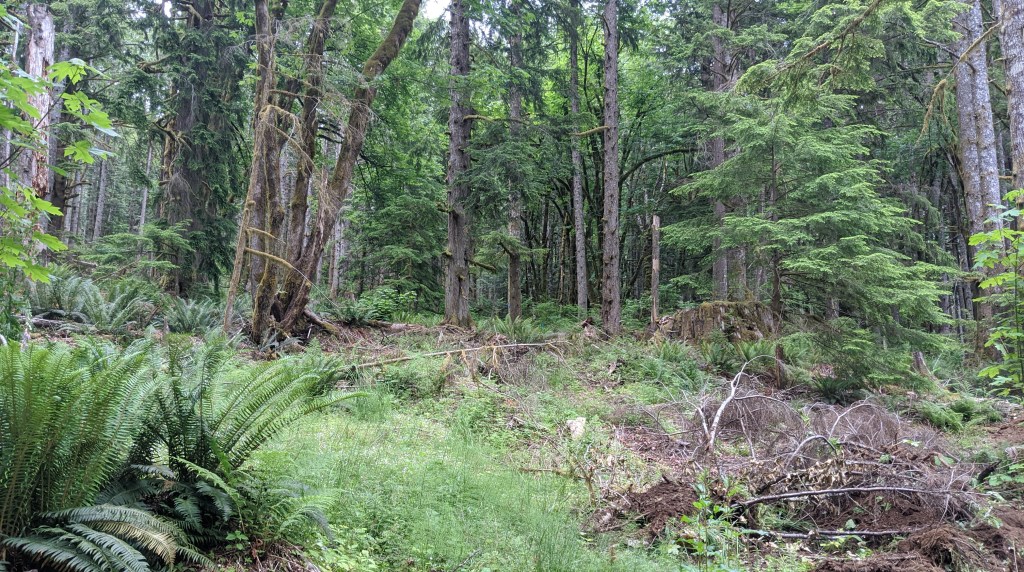
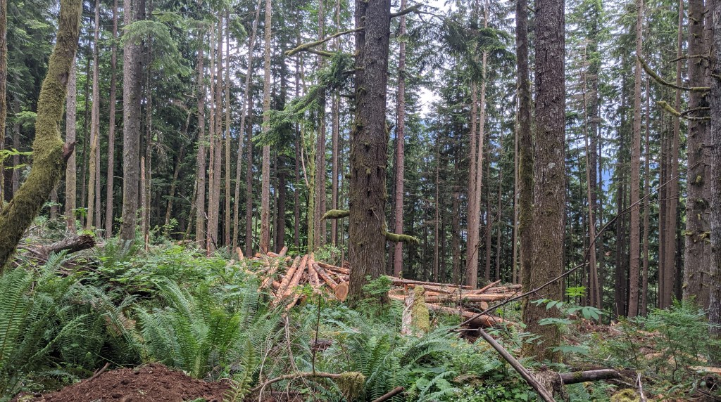
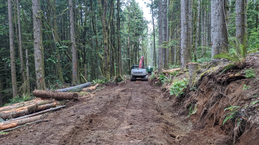
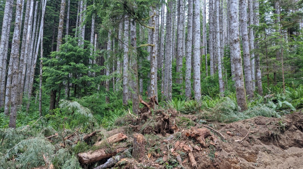
More Boundaries
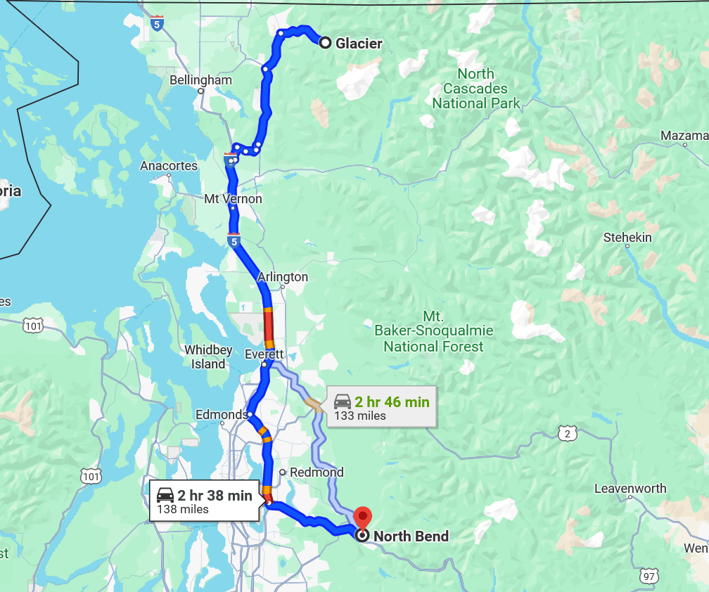
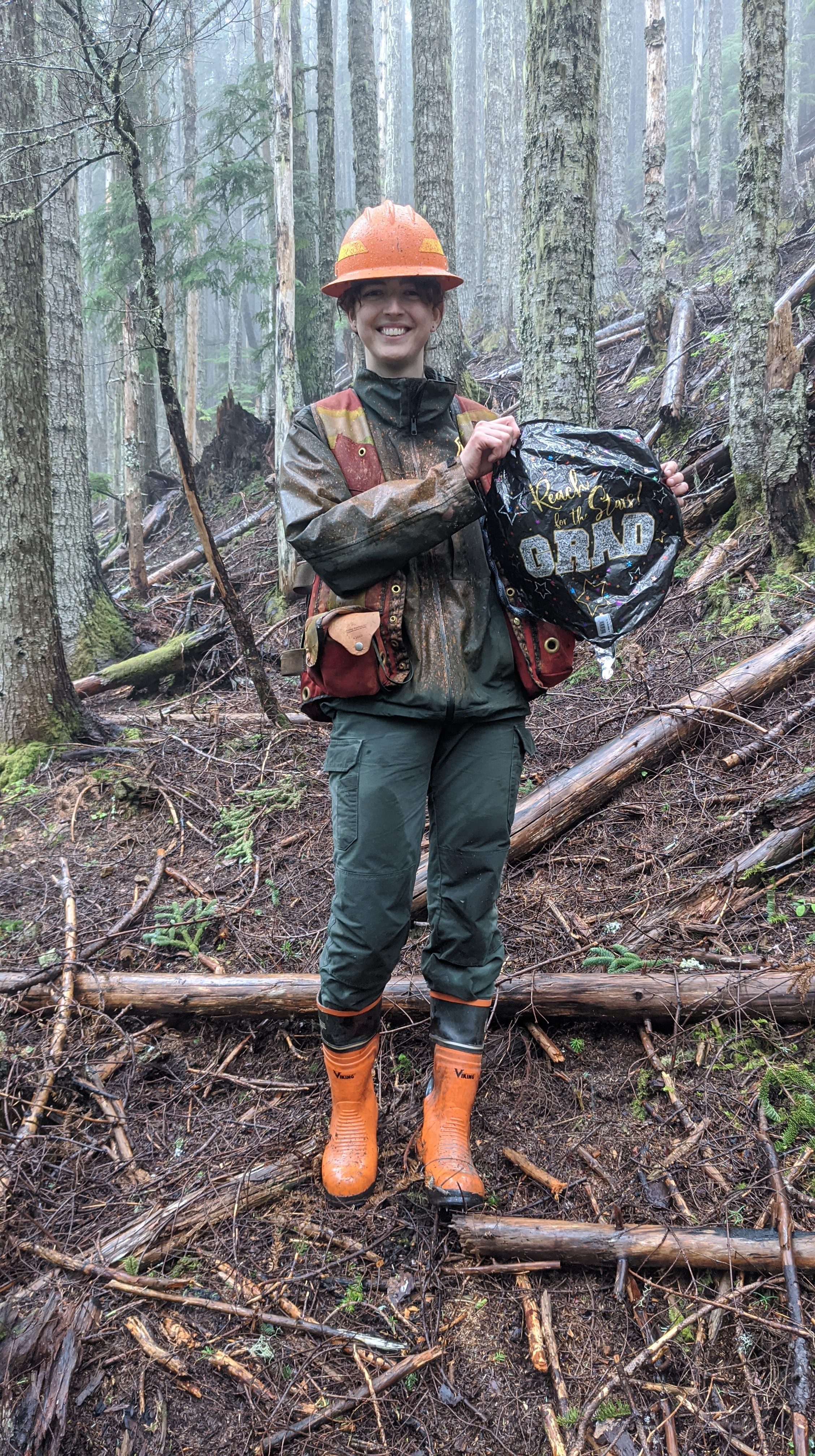
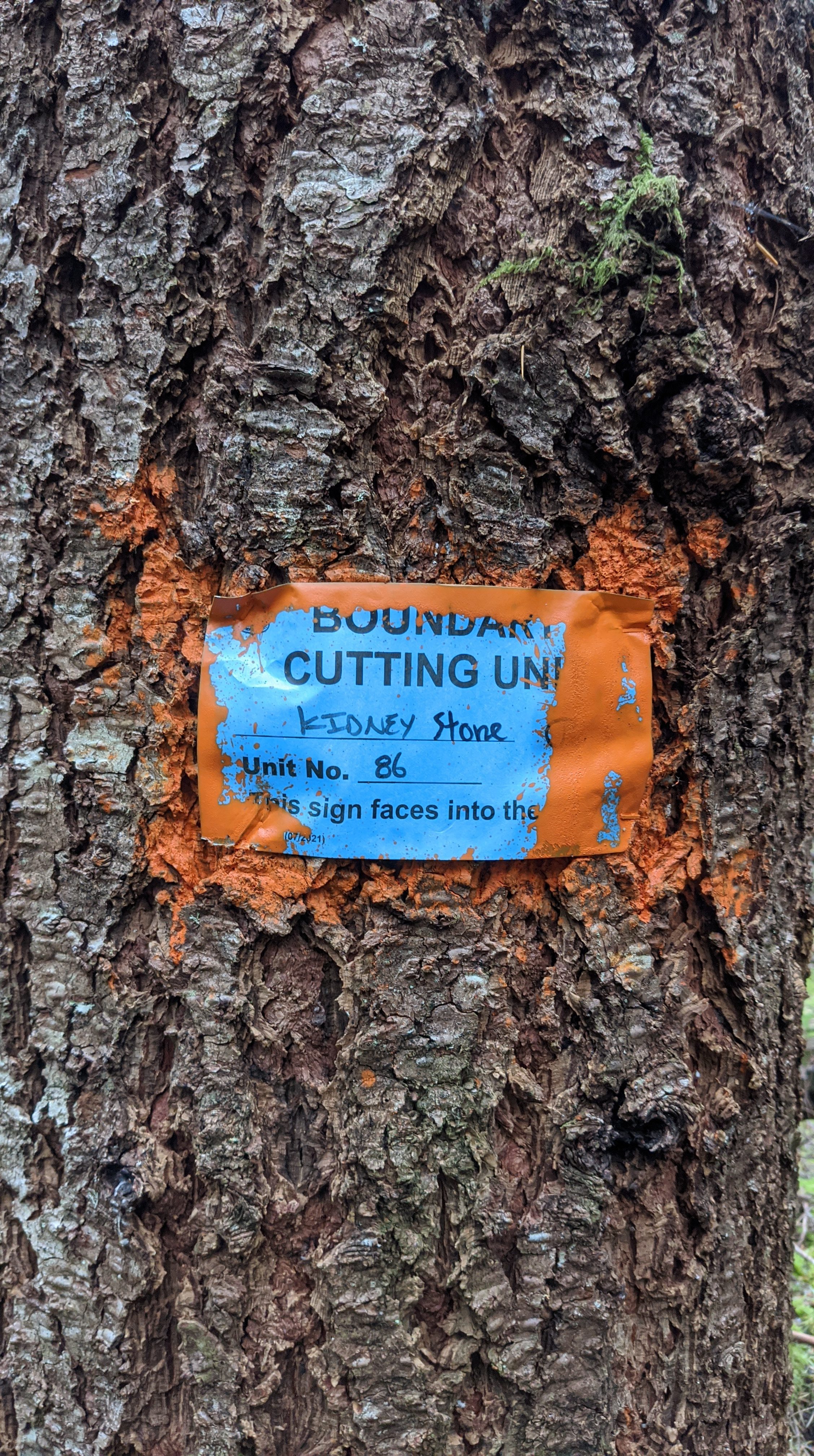
I spent the week this week in Glacier, WA working on the Kidney Stone sale – and, yes, it’s really called that. It used to be just Kidney, but a landslide happened that reduced the volume of the sale to the point where it wouldn’t be merchantable so it got combined with the sale next to it called Quarry, and thus Kidney Stone was born.
In addition to painting the boundaries on trees, which you can read all about in detail in this post, I had the excellent job of writing the word “Stone” on all of the corner tags since they just changed the name of the sale last week.
That was actually pretty fun and I was able to cover a lot of ground, while listening to more audiobooks.
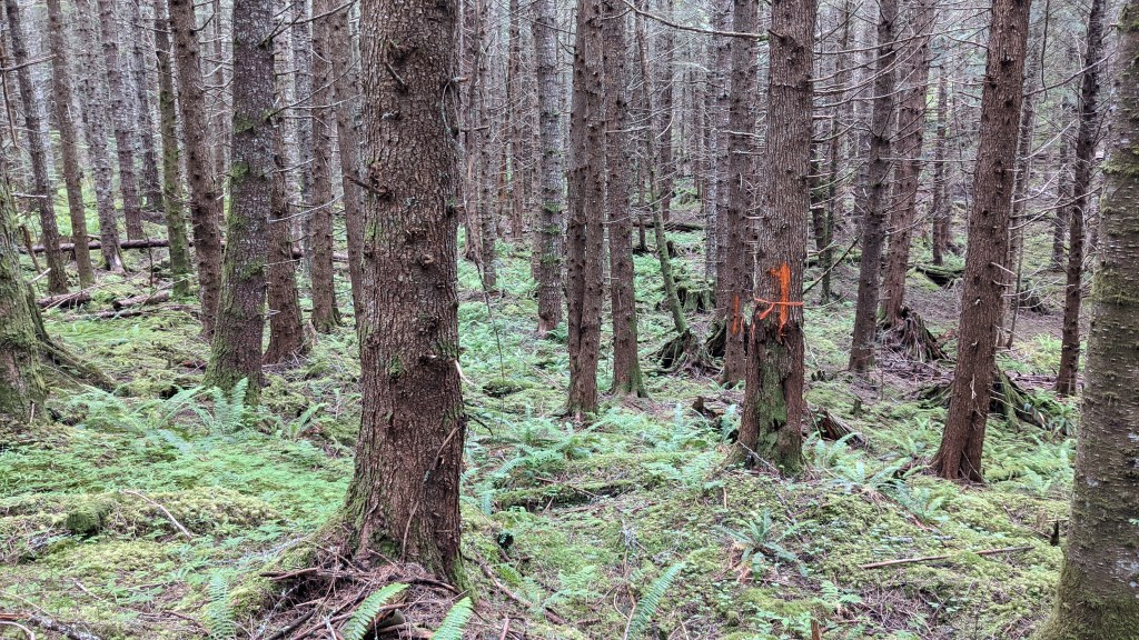
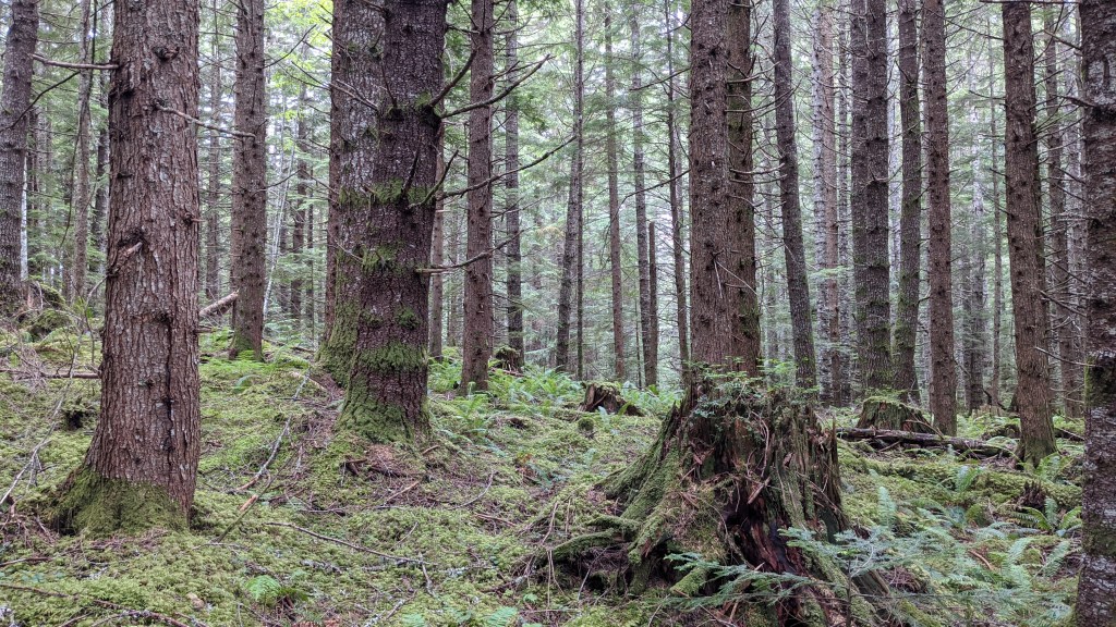
Painting boundaries was fun as well, but the terrain was fairly difficult in the unit I was in and I wasn’t able to get done before the end of the day.
Here’s some photos of the easier terrain! I didn’t get photos of the hard terrain
I ended up staying the night in their bunkhouse until Wednesday, which was nice not to have to drive 6 hours every day.
On Tuesday night we went to Graham’s Restaurant, where I got the fish tacos and squash soup! They were both super good.
Not Work
Aside from doing all of that for work, I did a ton of stuff outside of work which was just as fun!
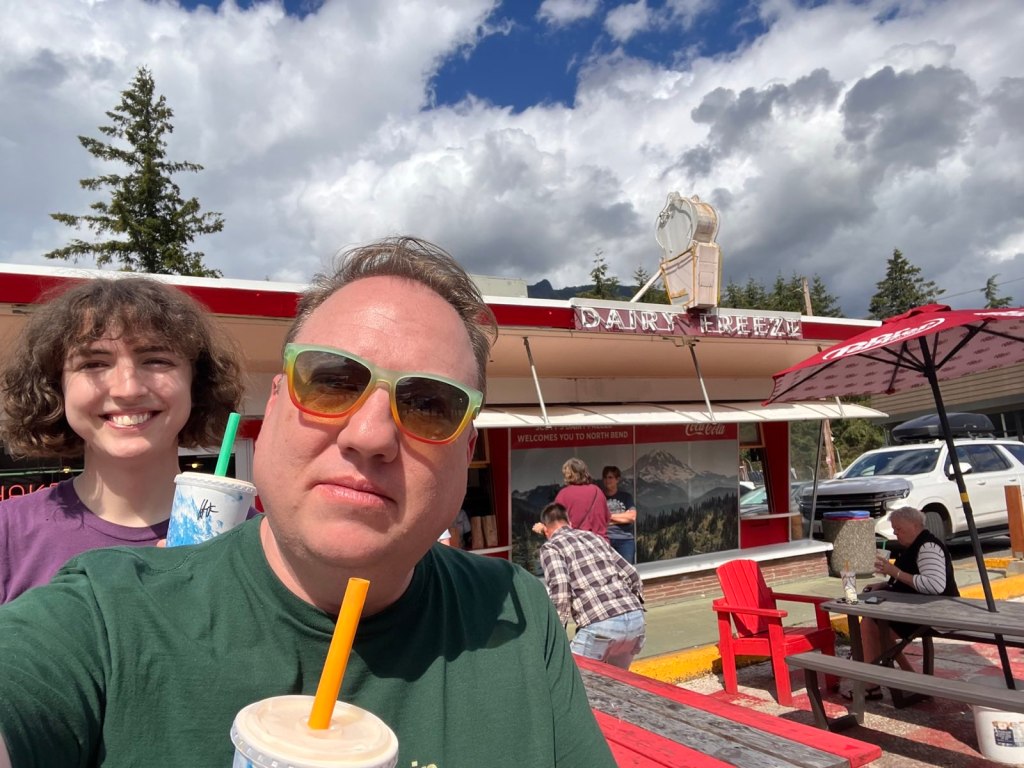
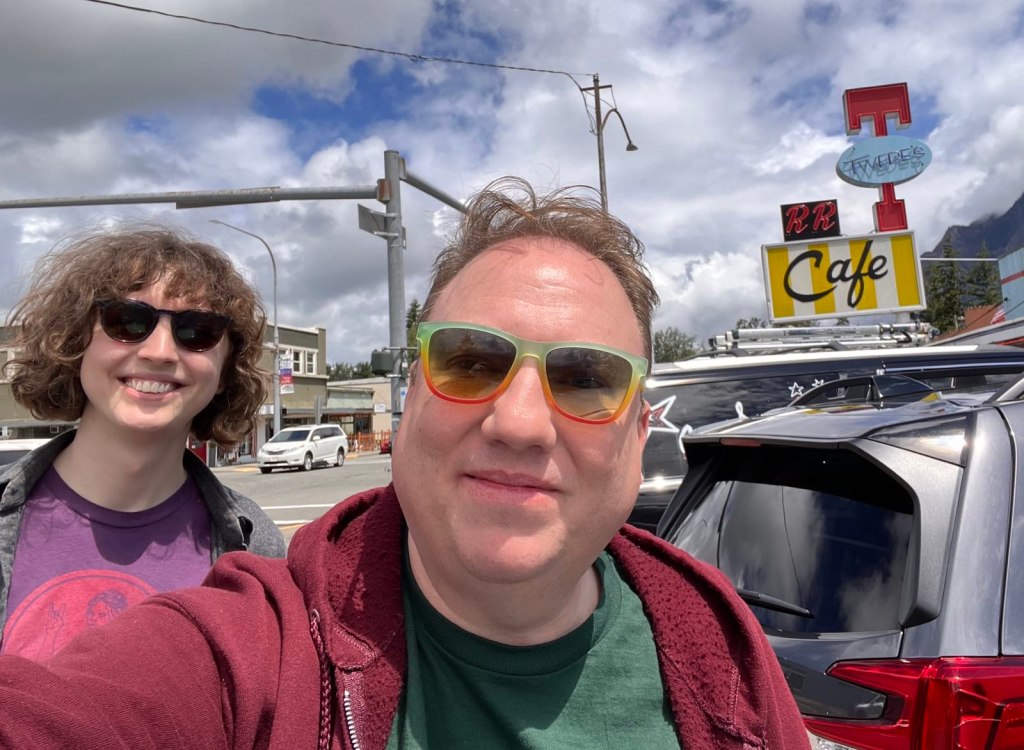
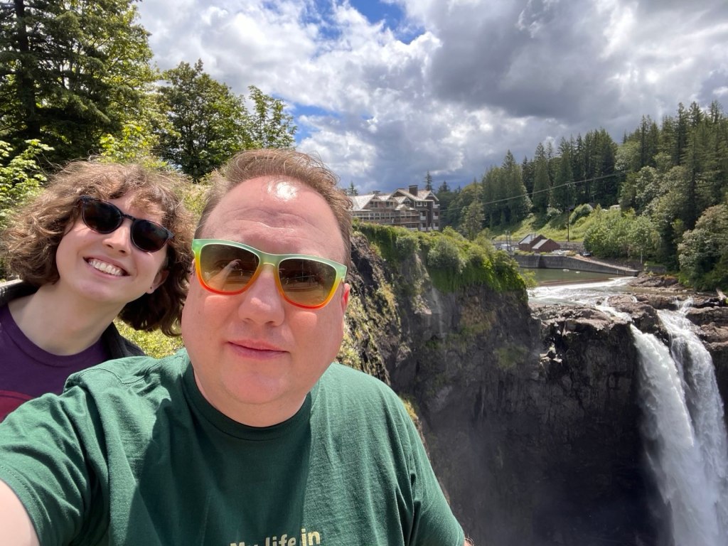
Hanging out in Seattle and North Bend
I’ve been doing a lot of stuff in Seattle and in North Bend – hanging out with folks and even going to events. Here’s some of the highlights:
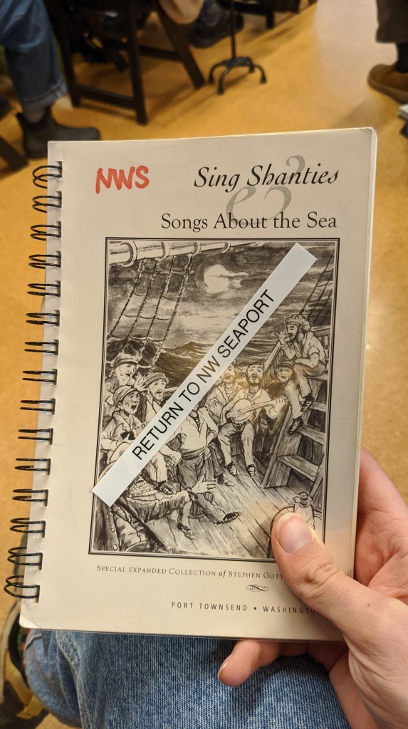
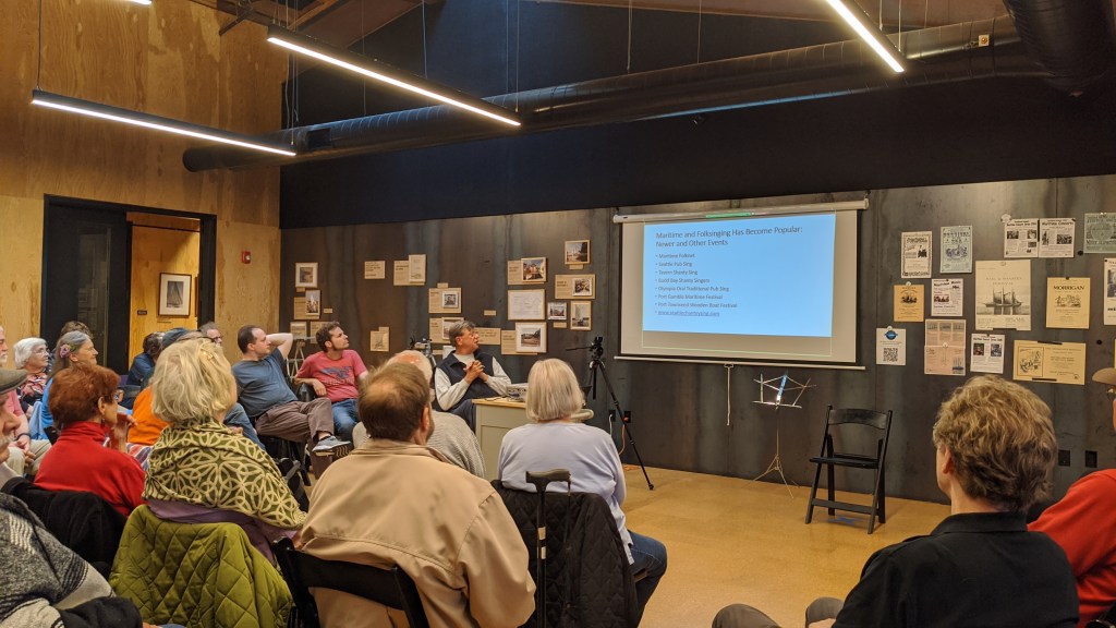
I went back and did the Sea Chanty Club again this year during their special 3-hour long sing for the NW Seaport’s 60th anniversary. It was super fun and I got to sing a lot of different sea songs while eating some cake!
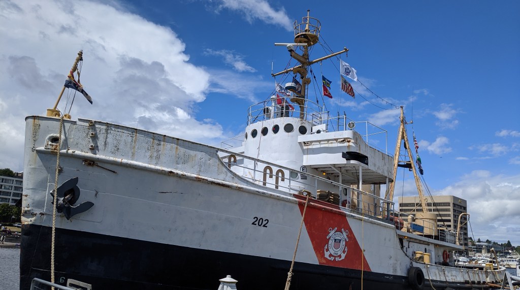
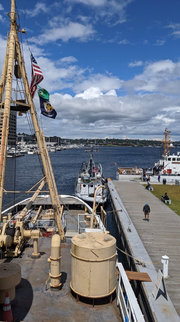
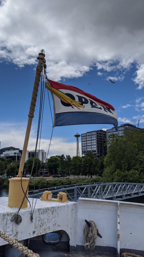
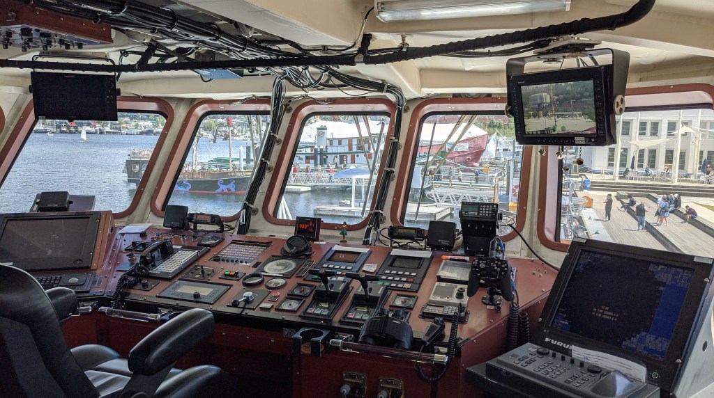
The next day I went to go to Go club and there happened to be a classic work boat showcase happening at the Northwest Seaport, which was also super cool! I had heard about it from the sea chanty club. They had classic (and new) work boats from all over. I got to go on a coast guard ship and a former navy ship from WWII called the Comanche. It was a super neat event!
I also stumbled into a classic car show in Issaquah after posting my last blog. It was just outside the library and setting up while I was in there.
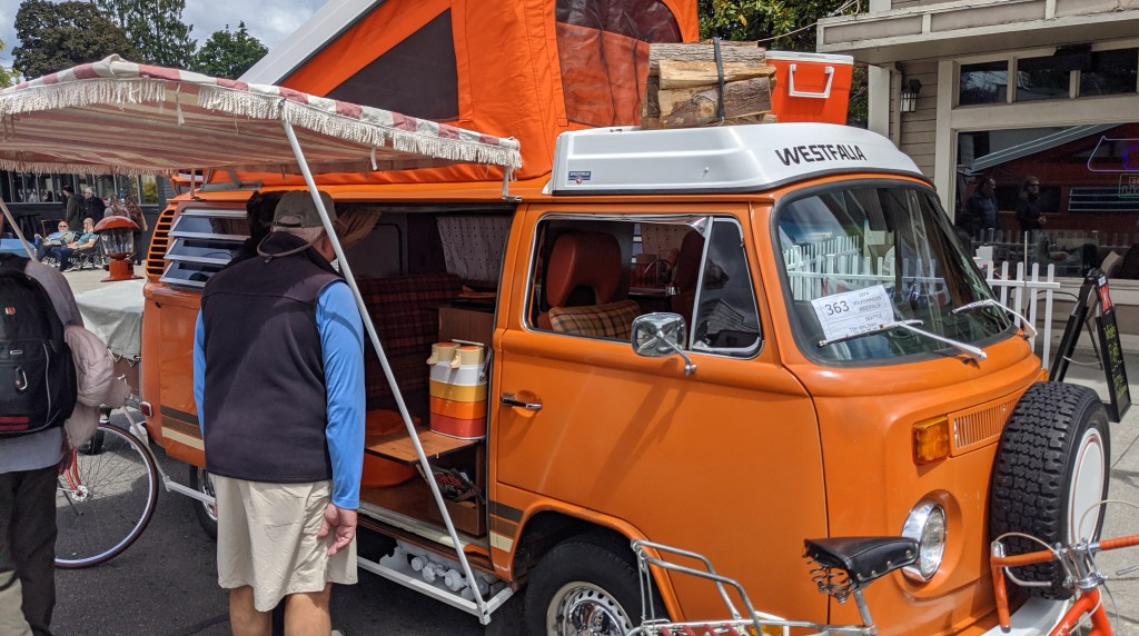
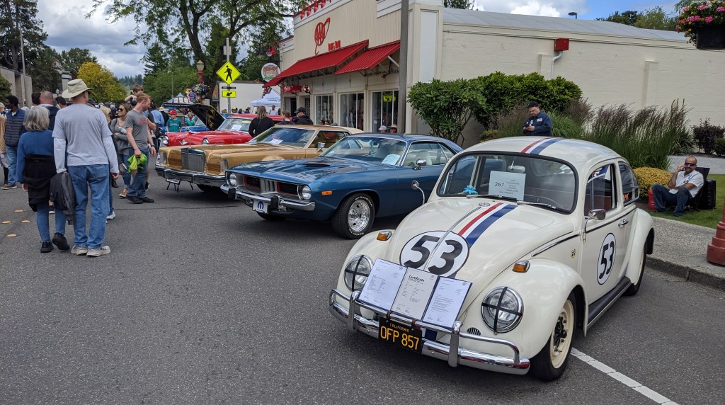
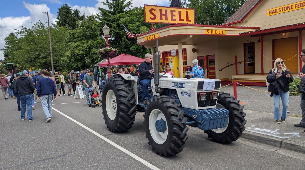
I didn’t spend too long there, but it was a neat show to peruse through!
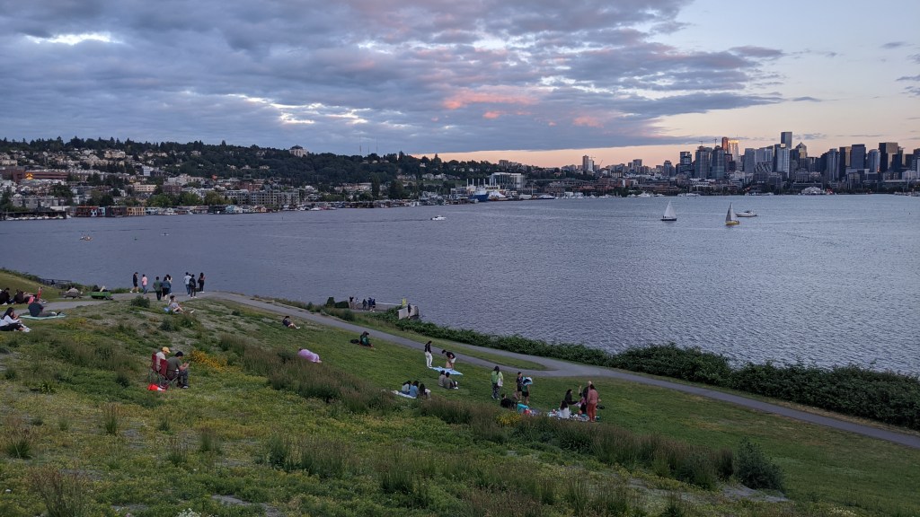
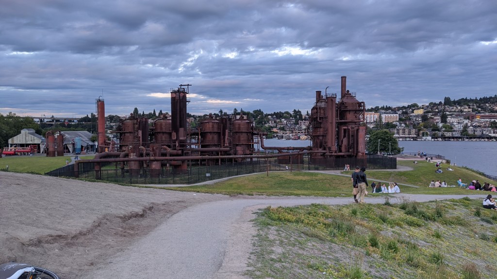
My friend Matt from KY came up to spend a week in Washington and that was super fun! I spent a few days with him and showed him around North Bend. We also walked around Fremont in Seattle and had dinner at Cafe Turko one night followed by brownies and a walk around Gasworks Park. Super fun!
Hiking the Area
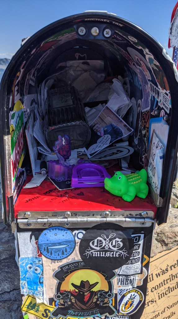
I’ve been mentioning in my blogs this summer that I will be hiking the enchantments this year, and I went to go train at mailbox peak one day a few weeks ago for just that.
I did mailbox peak last year and didn’t learn my lesson, so I came back to do it again!
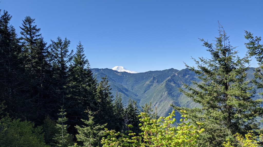
It was super crowded, but a lot clearer this year which meant that I could get a better view of Mt. Rainier and Seattle:
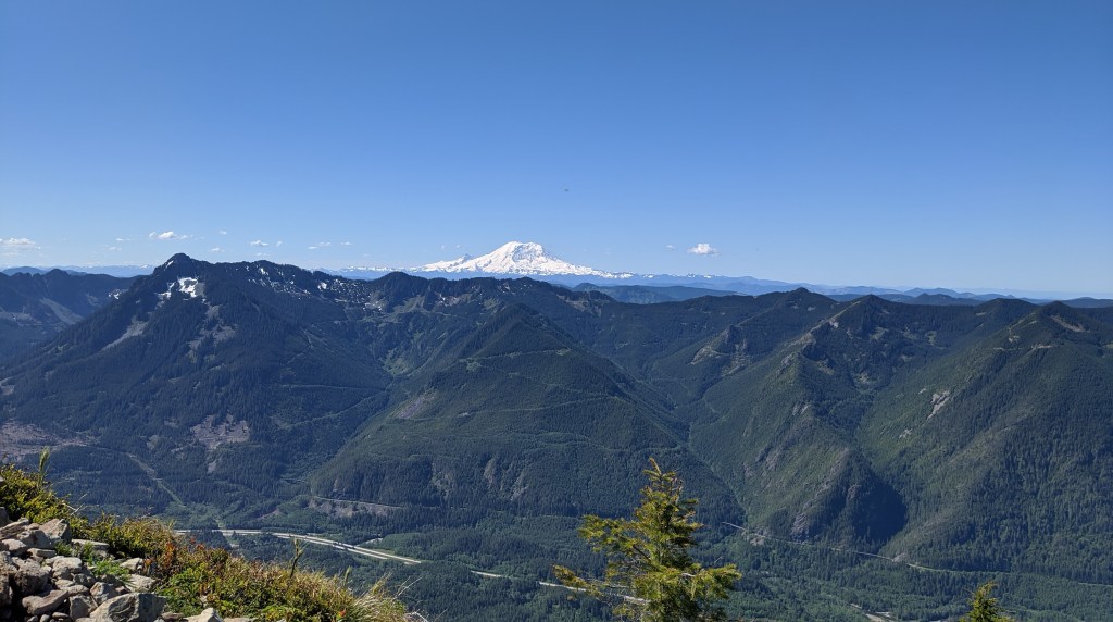
If you look carefully to the right of the second photo you can see the space needle!
I also saw a lot of other good view and flowers:
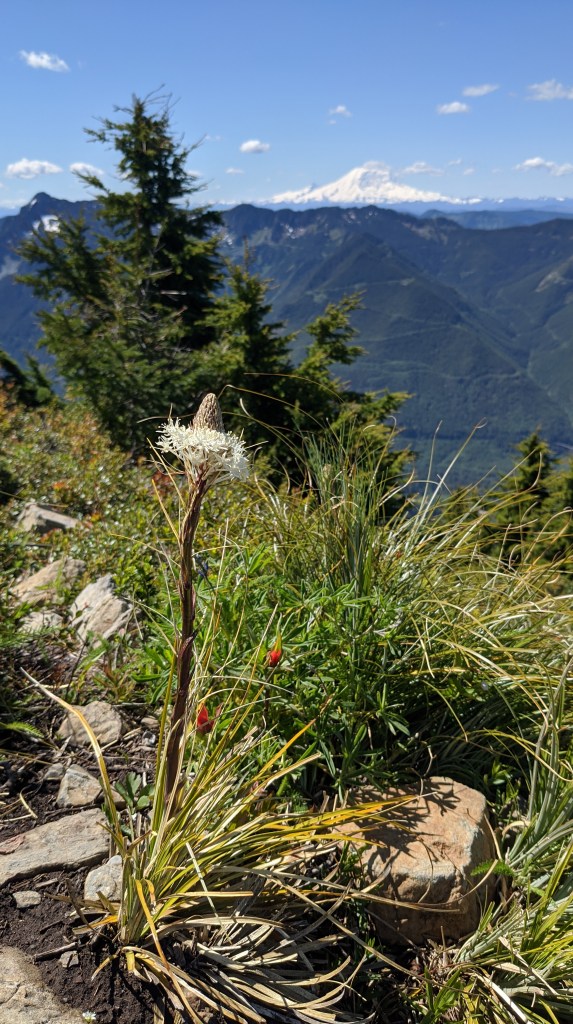
On my way down I got to eat loads of salmonberry, which is related to blackberry and raspberry and I managed to beat my time from last year by 30 minutes.
Wedding
My friend Abbie got married this month and I was invited to be a part of her wedding! I flew back to KY for pretty much just the wedding then I headed out right after. I also stayed in NKY the entire time with my friends Rebecca, Sarah, and Jake! I’m sorry I didn’t get to see any of my Lexington friends 😦
The wedding was fun and Johnna’s sister came up to be my plus one.
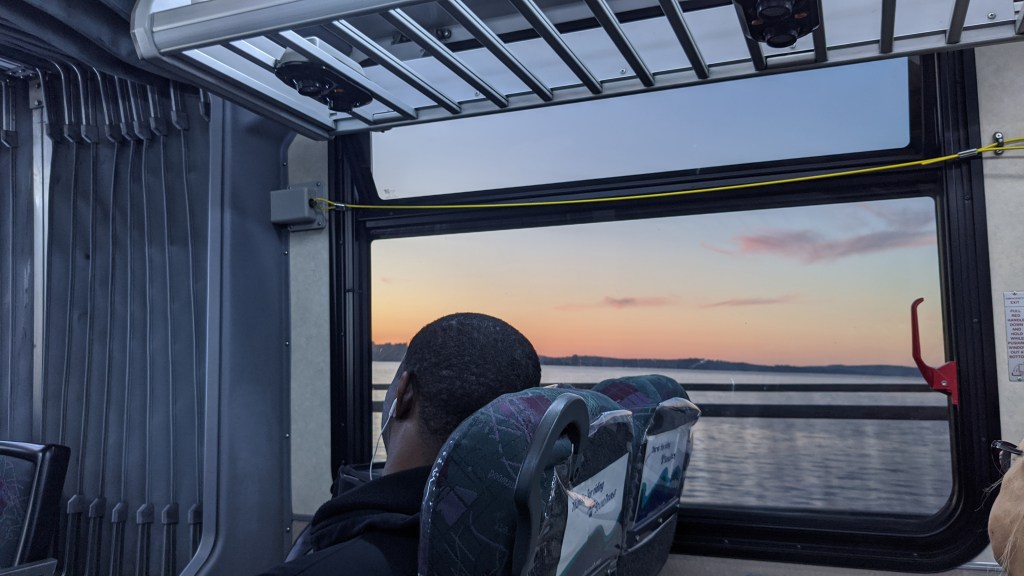
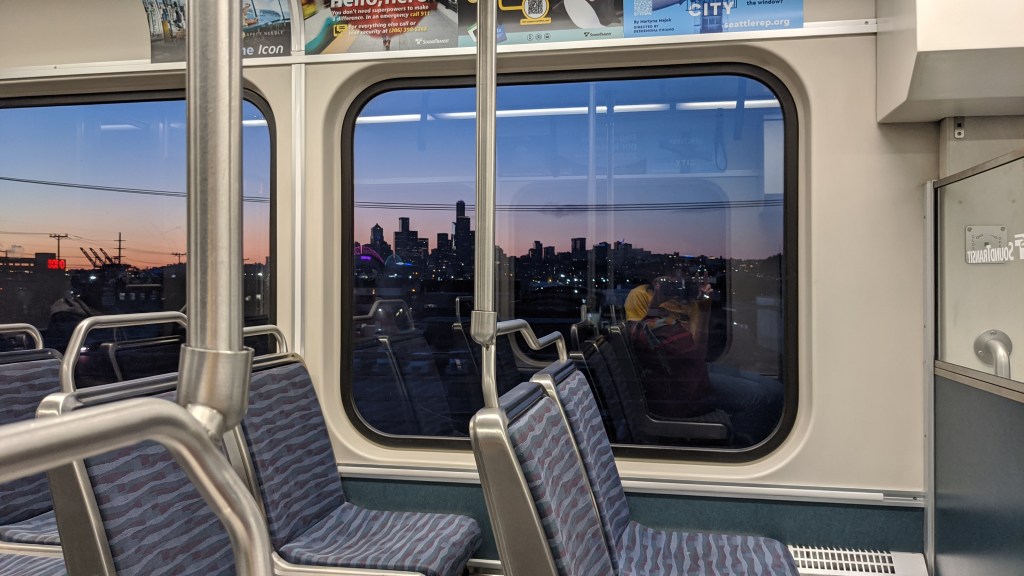
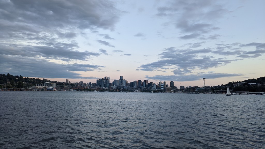
I decided to experiment with getting to SeaTac without having to pay for parking, so I took public transit to and from the airport. It took about an hour longer, but it meant I could save a couple hundred dollars in parking at the airport, so I think it was totally worth it! I took the 554 route from Issaquah into Seattle, then I took the lightrail 1 line into seatac. It was a great experience to and from the airport. Plus I got some gorgeous views of the city!
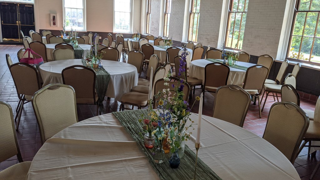
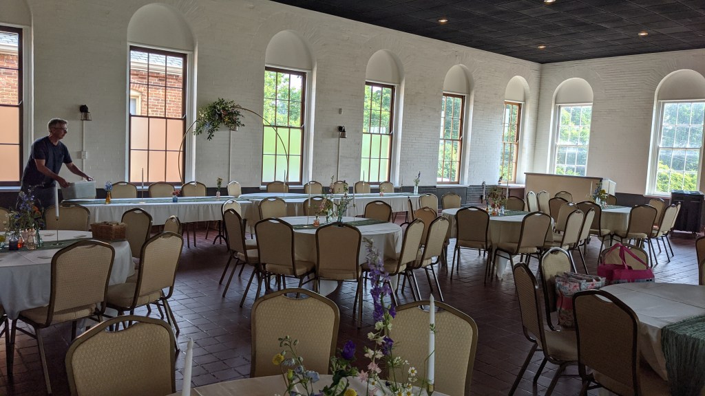

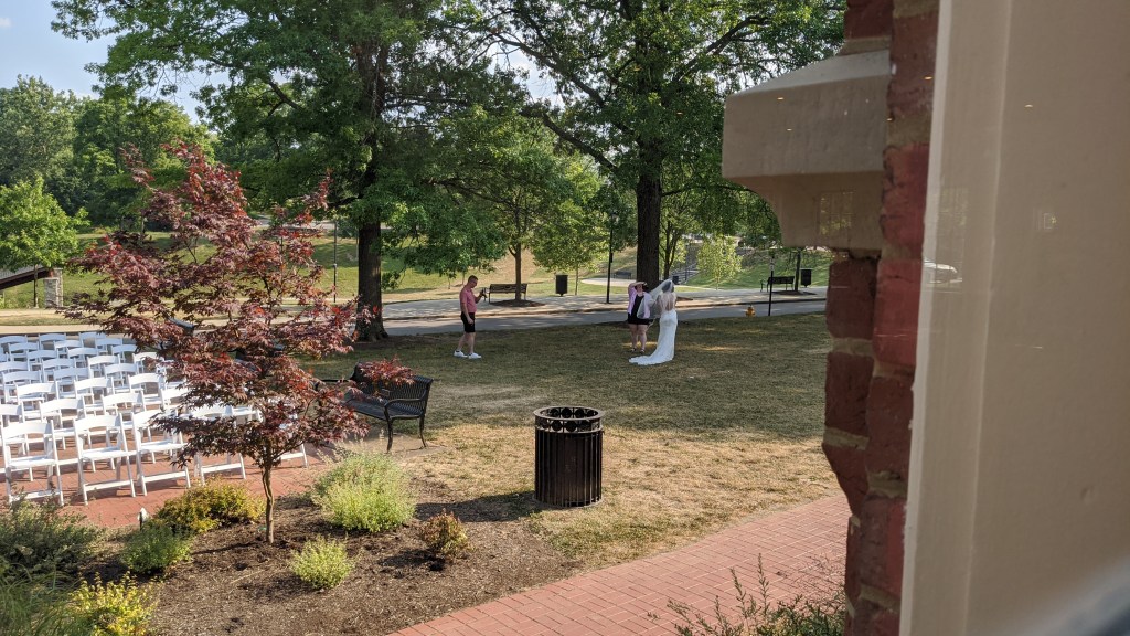
I didn’t get a lot of photos of the wedding, but it was gorgeously decorated in a pretty simple venue! I really like how they did it, and importantly the food was really really good.

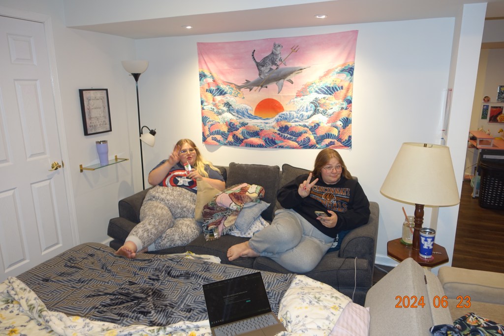
After the wedding I had a game night at my friends house (you can see where I was staying in the basement) then I headed out the next day after spending some time with my friend Justice and her cat beans!

The way back was pretty easy and I didn’t have any issues using the train or the bus, but I did get a little nervous because my flight from CVG was delayed which meant that I had a small chance of missing my bus. It only leaves every hour so I was worried I’d have to wait on the street for an hour but luckily I made it just in time.
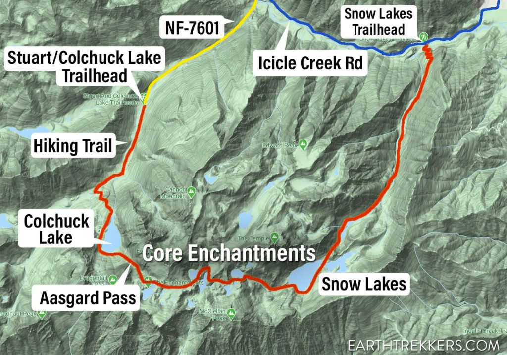
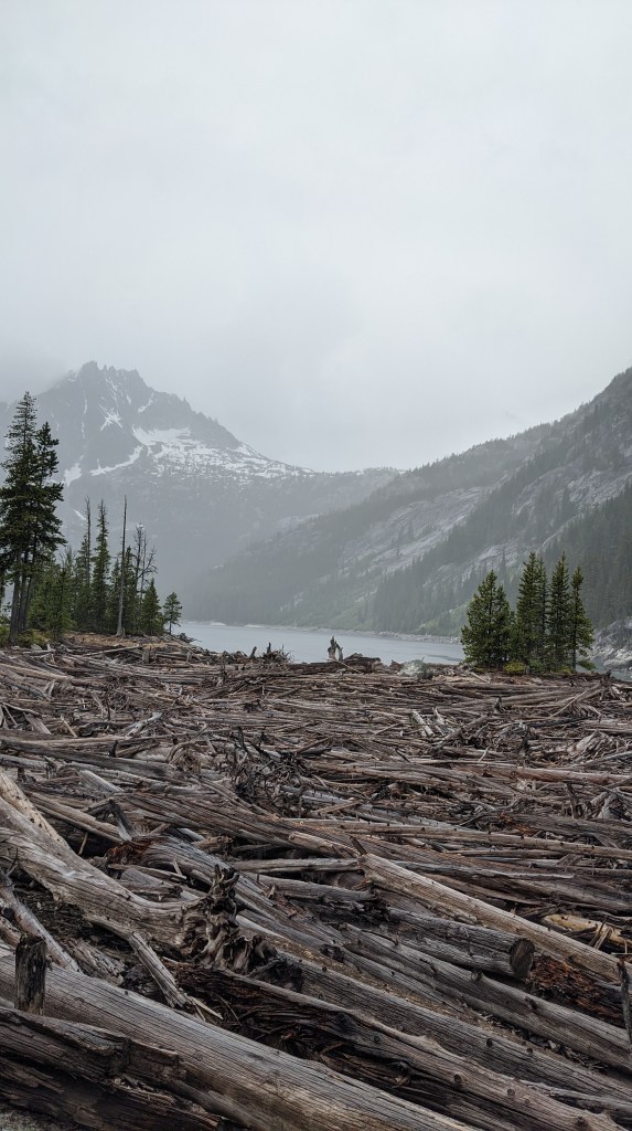
The Enchantments
Ok this is it! It’s definitely not the longest hike I’ve ever done, but it was certainly the hardest.
If you want to watch some other hikers do this trek, here is a good video about that! They offer some good tips if you’re thinking about doing this yourself one day.
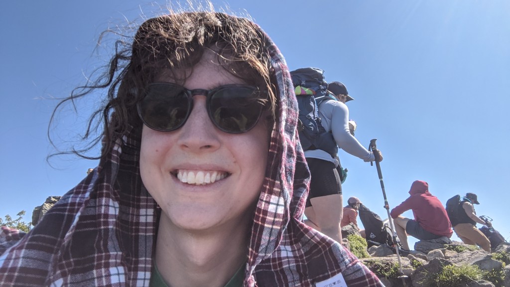
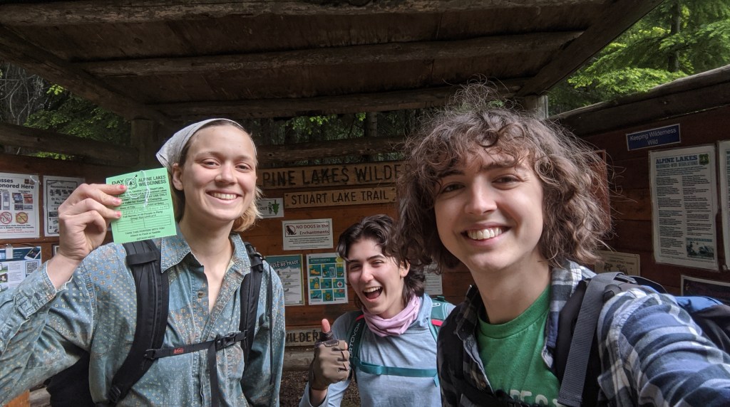
I did this with my friend April from KY who is working in Missoula this summer and with one of my bunkmates, Sula, who is on the trail crew of my national forest in North Bend. We did 20-22 miles in 14 hours, starting at 6:30am and ending at 8:30pm.
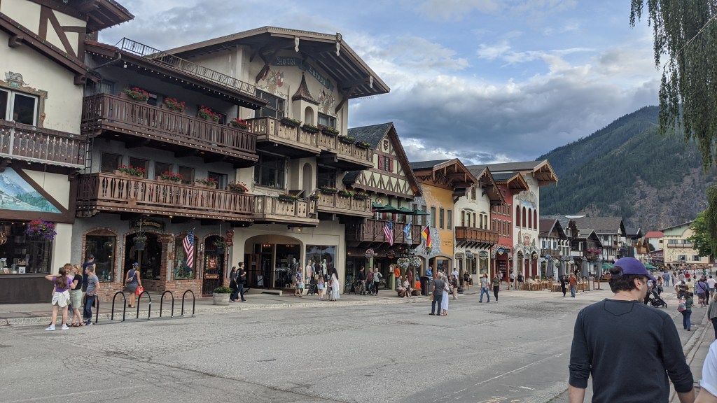
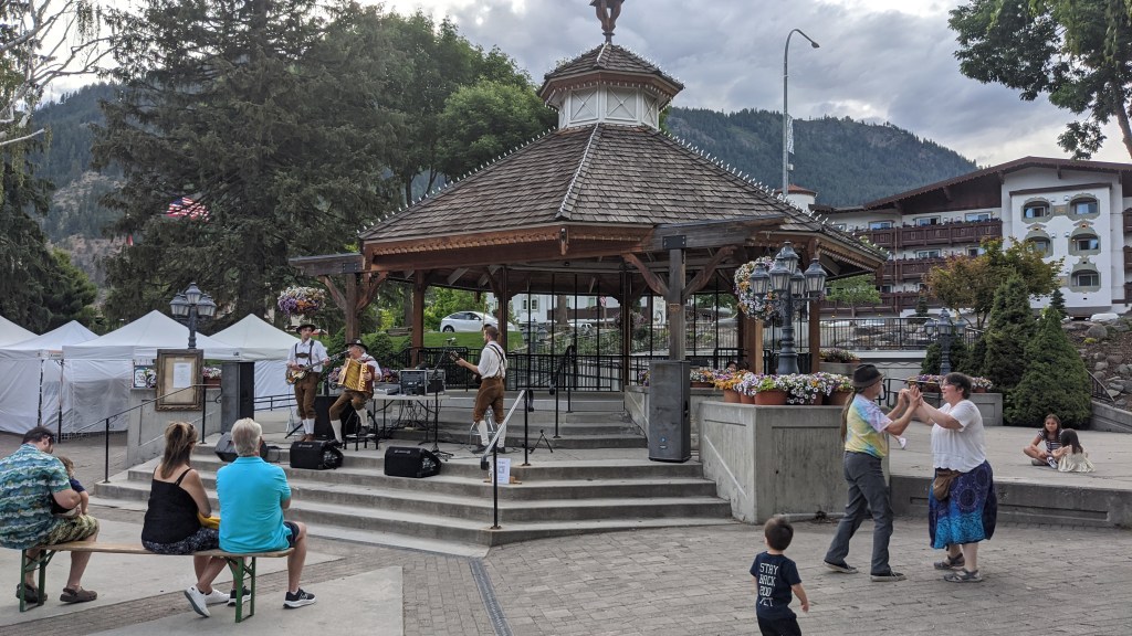
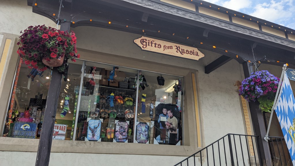
The night before, Sula and I drove from North Bend to meet April for dinner in Leavenworth, a Bavarian themed town I’ve heard described as “bohemian”. It was a pretty cool place and I’d definitely like to come back here one day. They even had a Bavarian themed band playing in the town square!
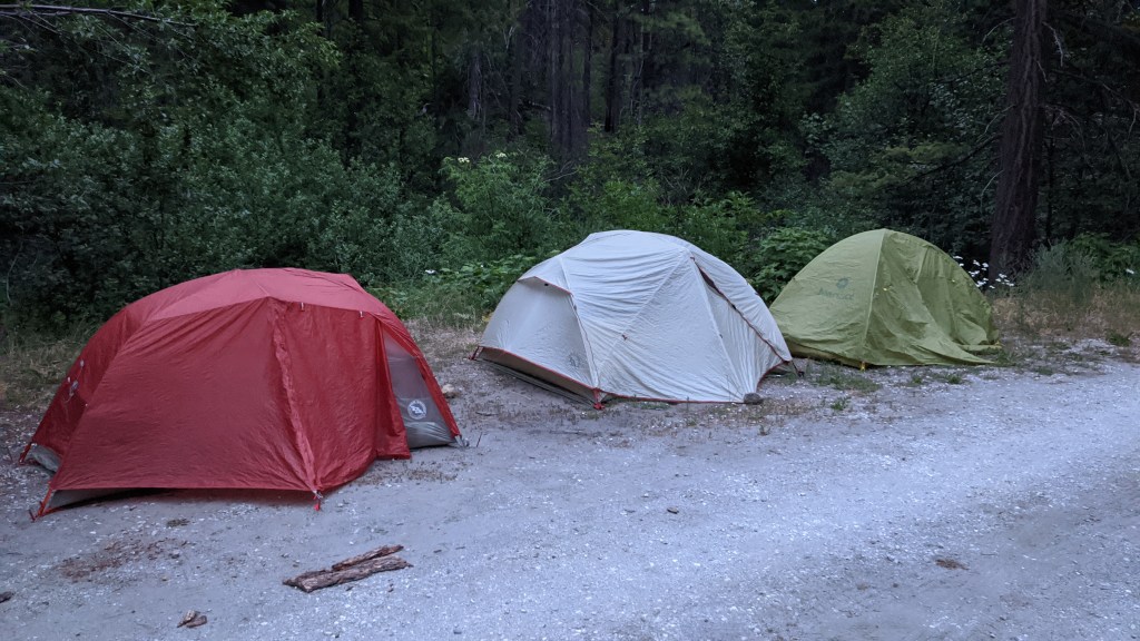
We got bratwursts at a local biergarten then we disperse-camped on a forest service road with a plan to get up early in the morning for hiking.
We got up around 5am and made it to the trailhead at 6:15, got ready, then started hiking at 6:30.
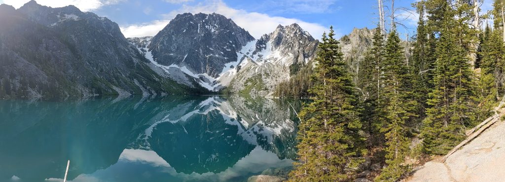
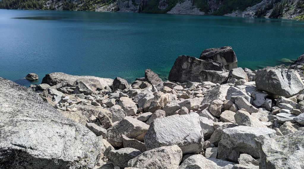
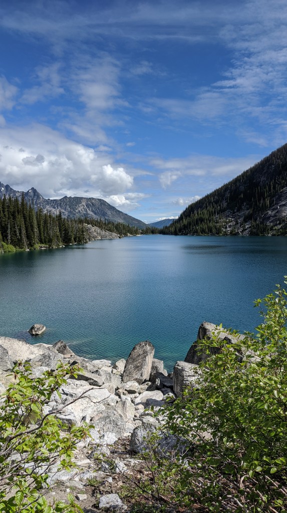
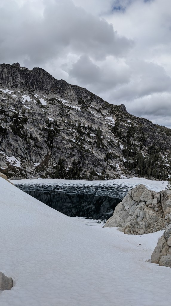
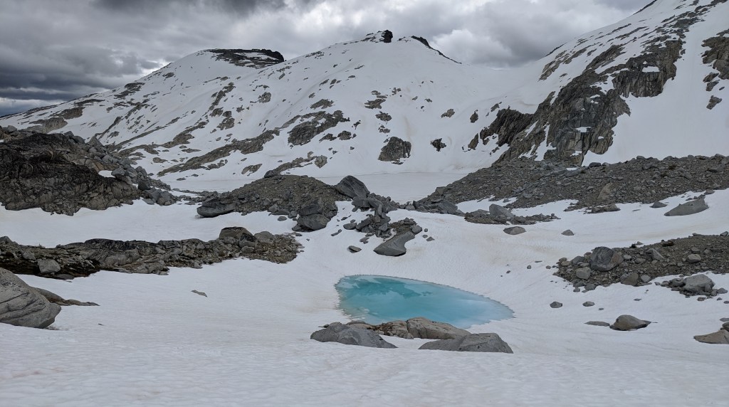
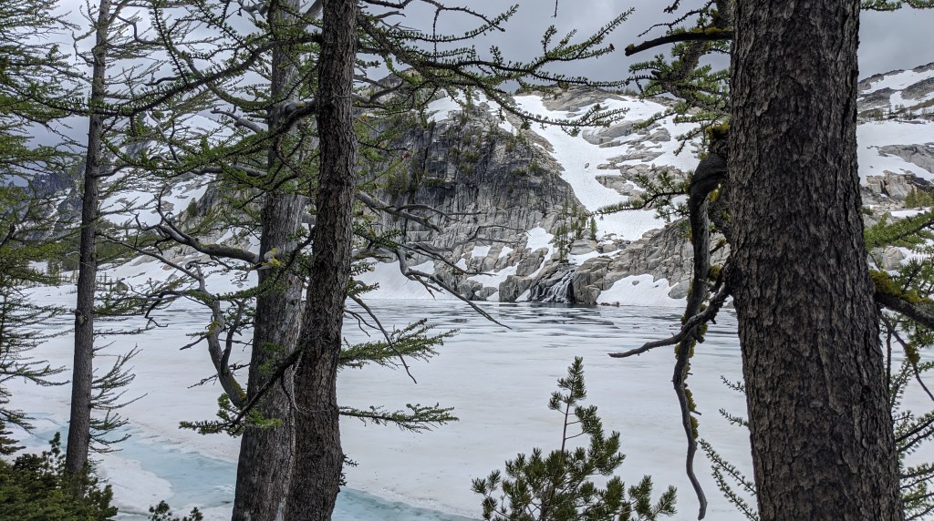
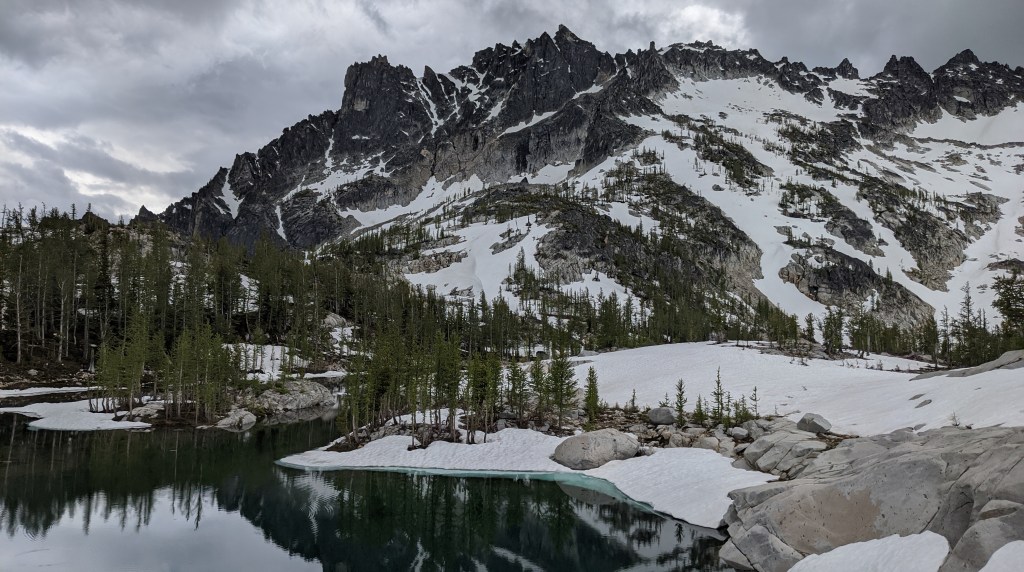
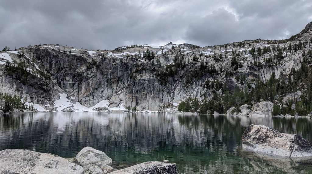
From there it was nothing but go go go for the next 14 hours! We started at the Stuart Lake trailhead and hiked all the way up to Colchuck lake, which for me was probably the hardest part of the hike until Asgard Pass because of the intense elevation gain. We took a small break at Colchuck lake before going up the pass, which was nice because it was definitely needed.
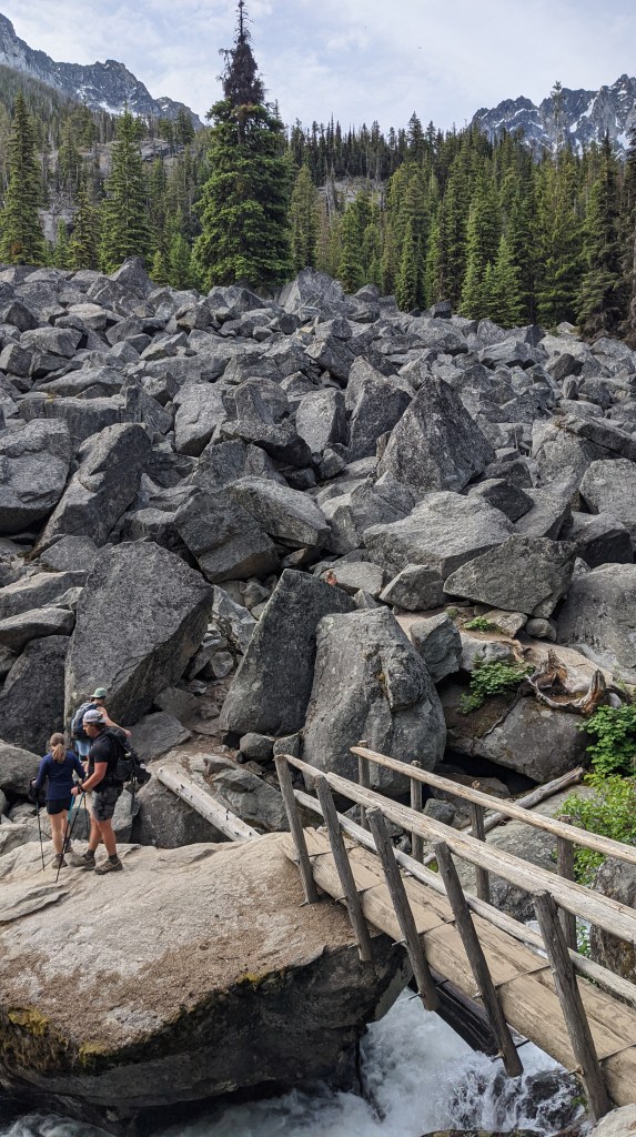
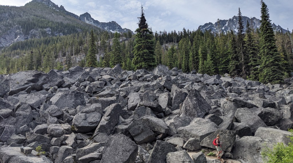
We got to Colchuck lake in about than 2 hours. It was pretty challenging, but worth it! And if we had ended there it would have been a wonderful hike in and of itself. We caught some glimpses of what was awaiting us at Asgard Pass as we approached and even saw some mountain goats!

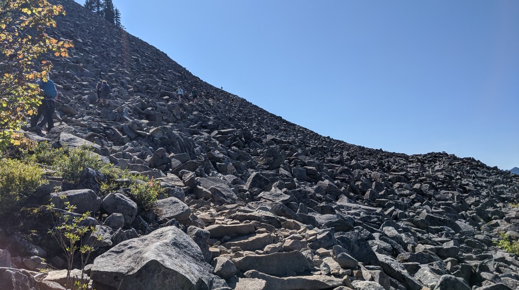
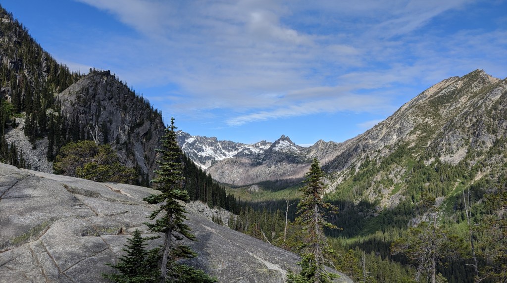
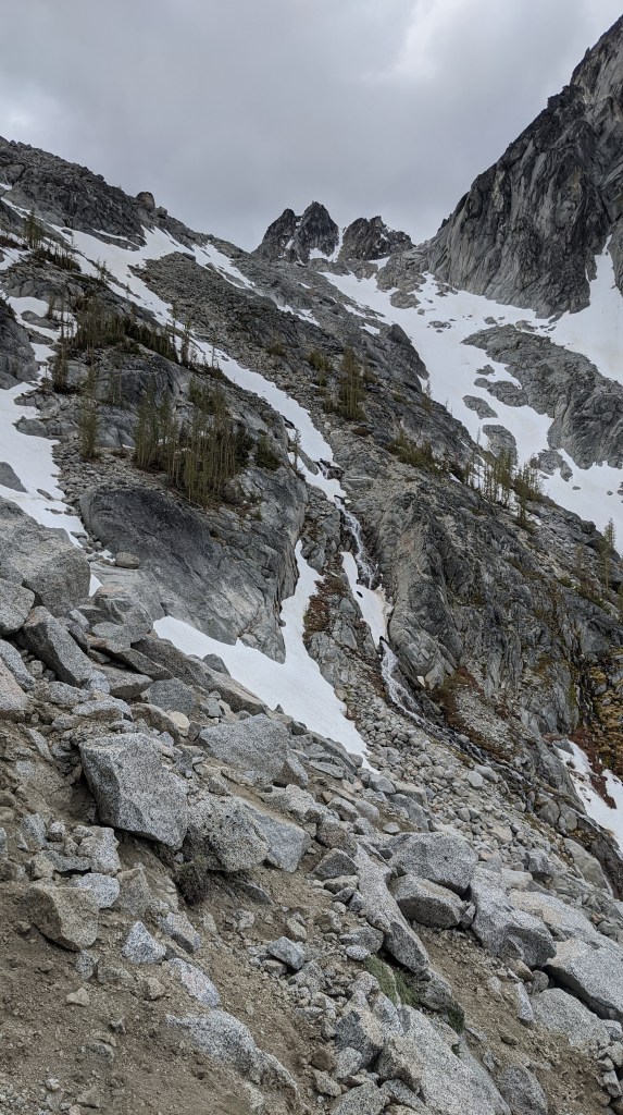
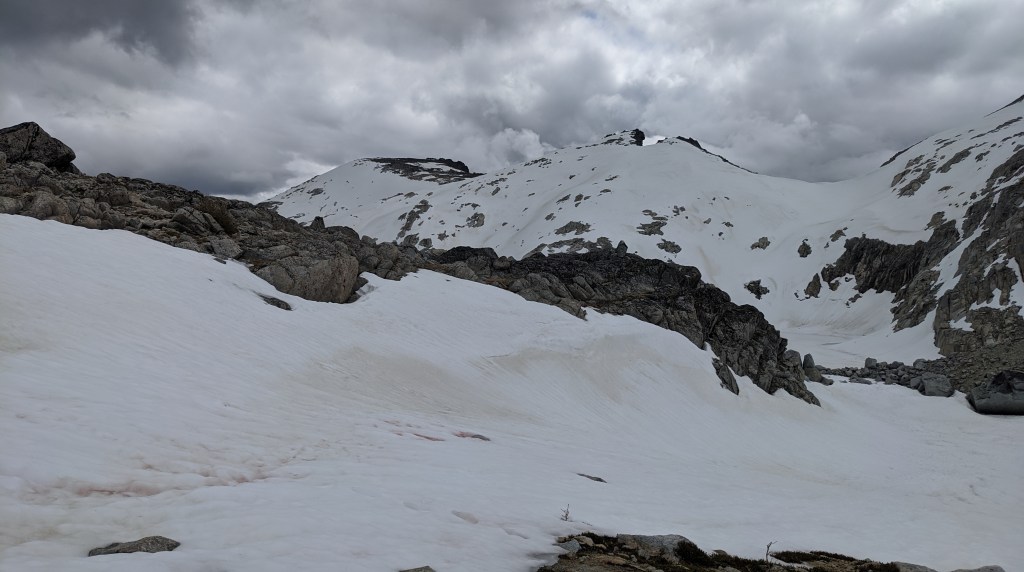
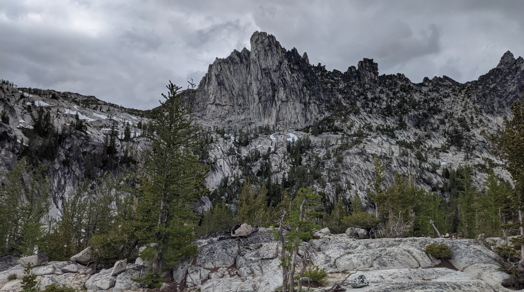
The most challenging part about the enchantments is undoubtedly crossing Asgard Pass. Most people choose to cross it going uphill, but we saw plenty of people doing it downhill.
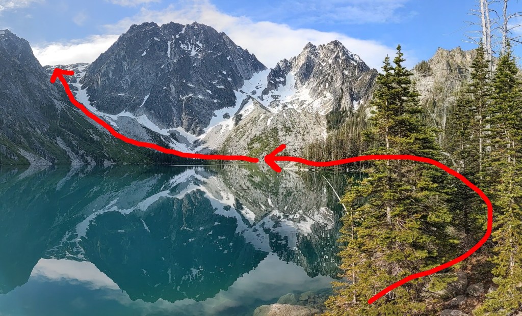
The way you get to the pass is by going around Colchuck lake and going up to the left side of Dragontail peak and staying left until you reach the top. At this time of year there was still snow at the pass, but if you go later in the season the snow will be melted and it will just be a rock scramble.
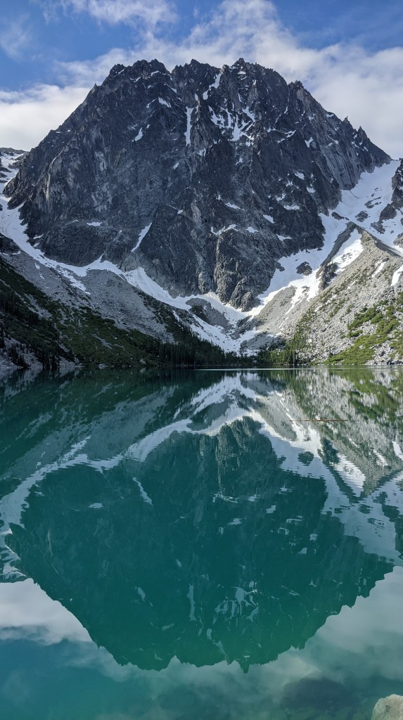
For me, getting to the top of the pass was pretty difficult as I was not used to snow mountaineering. If I were to do this again, I would probably wait until a bit later in the season when there is less snow. That being said I really enjoyed seeing all the snow at the top of the pass in the core enchantments area!

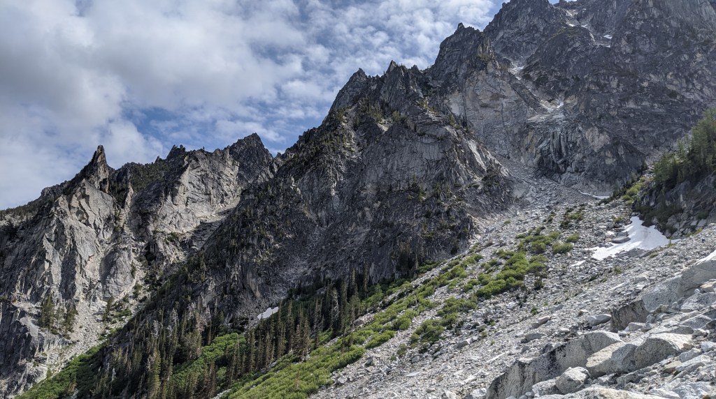
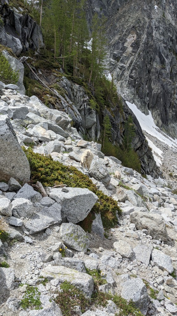
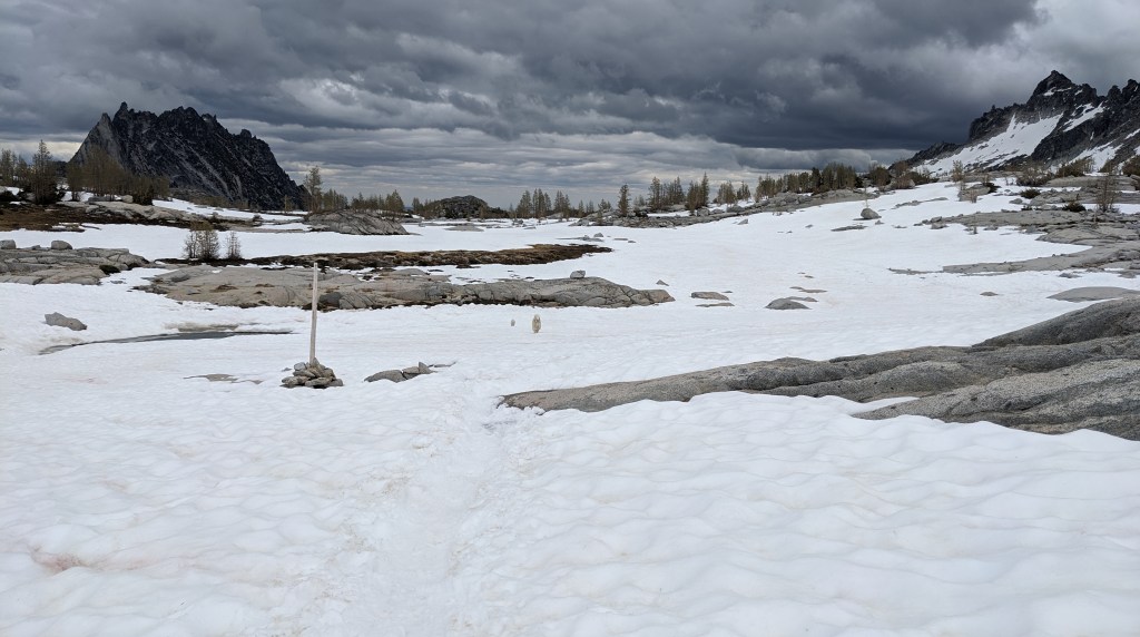
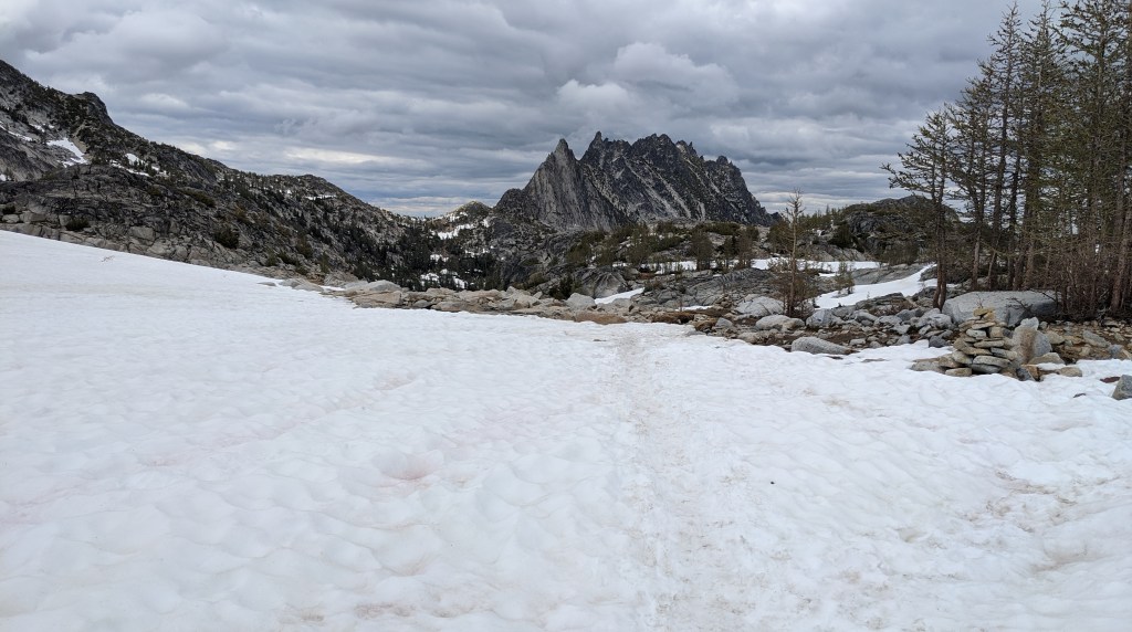
The core enchantments were probably my favorite park and there was a lot of snow to slide on! It was super fun to get across and we saw goats and marmots.
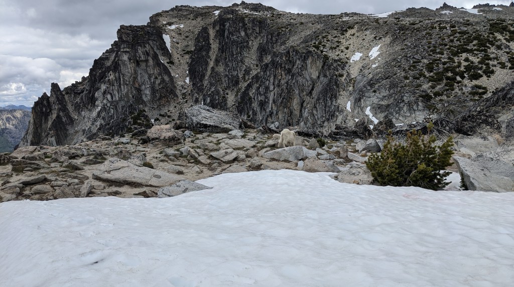
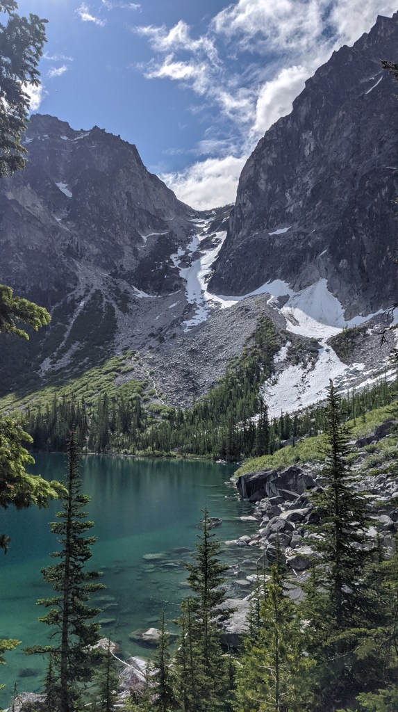
My favorite part of the hike was sliding down hills with our ice axes, which is called glissading. I wish there were more places to do that here!
Once we got through the core enchantments, we hiked through the Snow Lakes area and made the long, grueling trek to the Snow Lakes trailhead after some intense rock scrambles going down. It rained on us towards the end of the hike which did not help us feel any better, but we eventually got done at 8:30pm
We were all super exhausted after hiking and scarfed down food at McDonalds afterwards. Then Sula and I drove home and got back to North Bend around 1am!!!
One day I think I may go back here, but I’ll need to have a permit to stay the night. I’m not sure if I want to do this all in one day again, but it was certainly fun while it was happening and I’m glad I got to go!
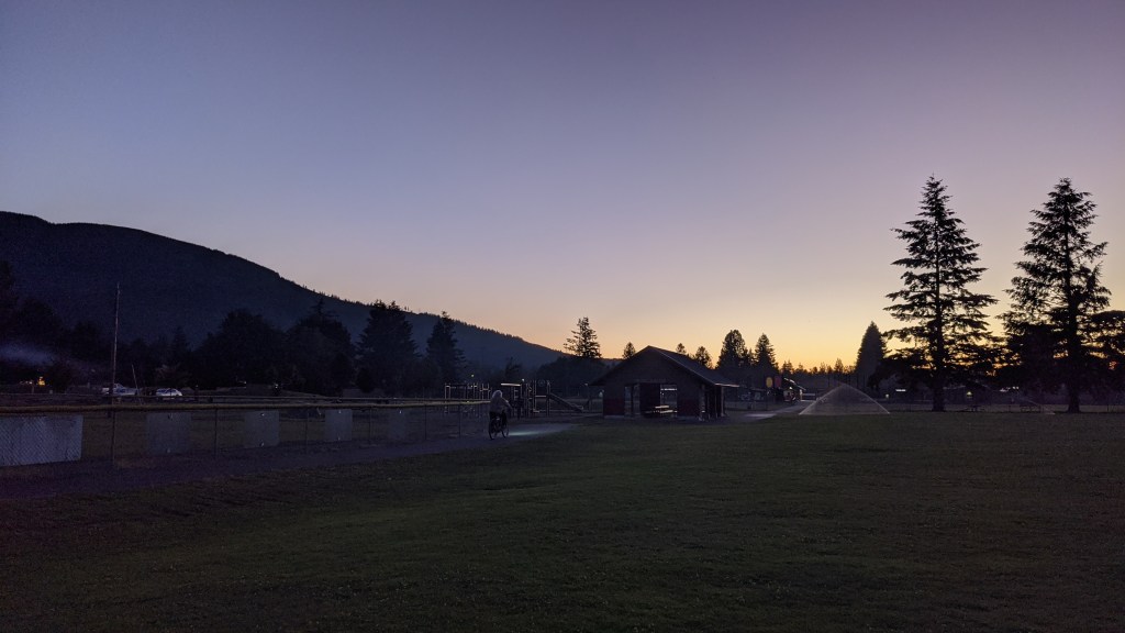
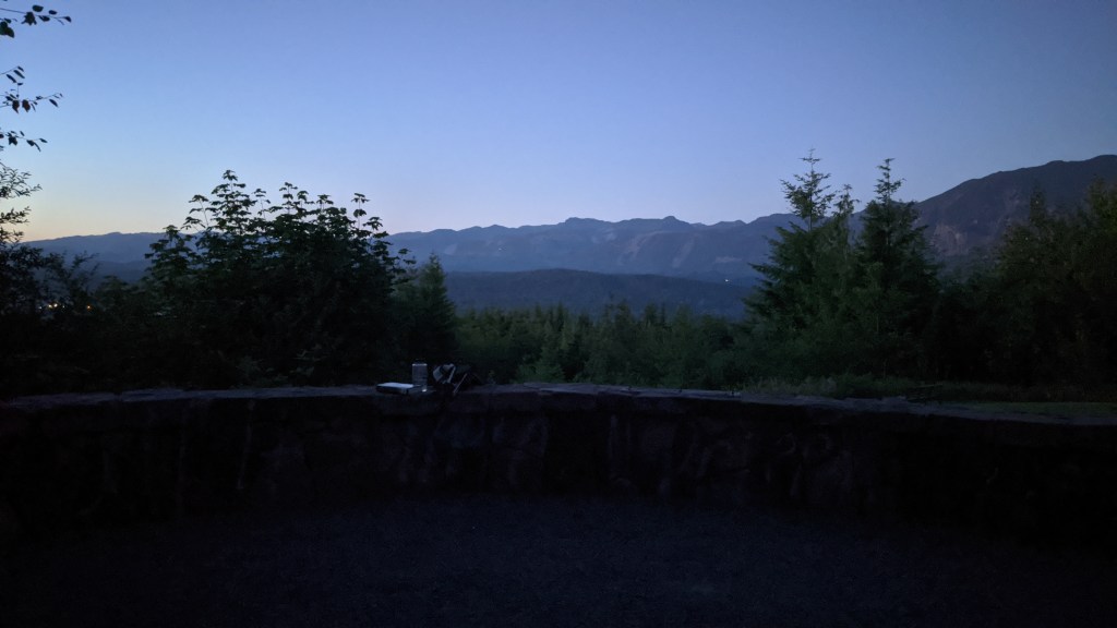
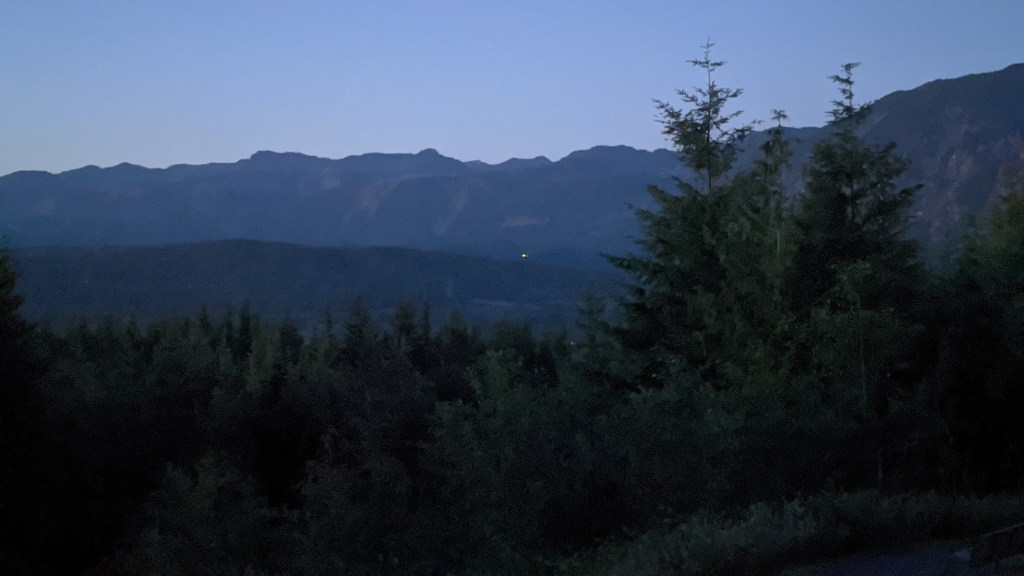
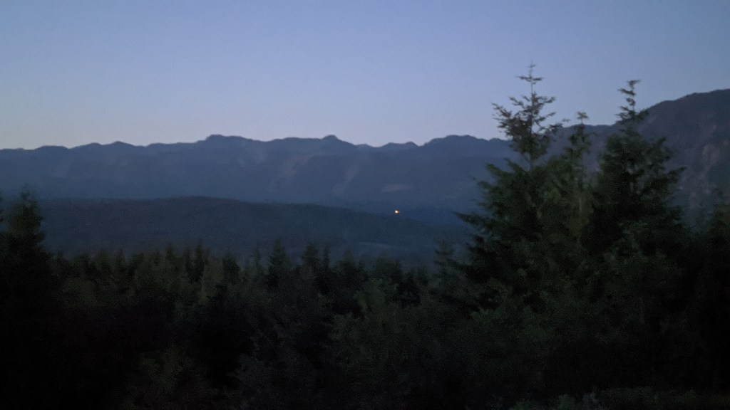
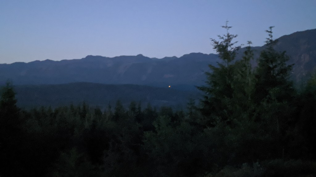
Attempted Fireworks Viewing
Last night was the 4th of July and I tried to be smart and watch the fireworks from a high-elevation park: Snoqualmie Point. It would have worked if there were fewer trees and mosquitoes! I got some decent views, but decided to call it quits early before I got eaten alive. The sunset was beautiful though!

Leave a reply to Setting Boundaries – Mushrooms and Arches Cancel reply