Happy Thanksgiving, dear reader!
By the time you’re reading this, I’m actually back in KY for quite a while.
I will make an update about how school is going soon because, as you may be able to tell by the timeliness of this post, it’s been pretty hectic.
My last few weeks in Washington were also absolutely crazy and I didn’t have much time when I was there to write a proper post. I hope you enjoy!
- The End of Carbon River
- Have Timber, will Travel
- Counting trees
- Inspecting Loggers
- Fire Severity Patrol
- Fun and Games
The End of Carbon River
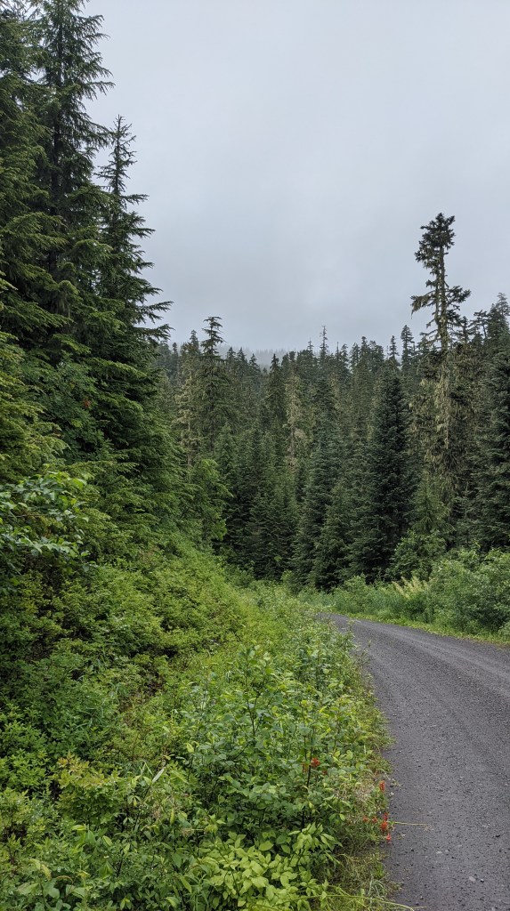
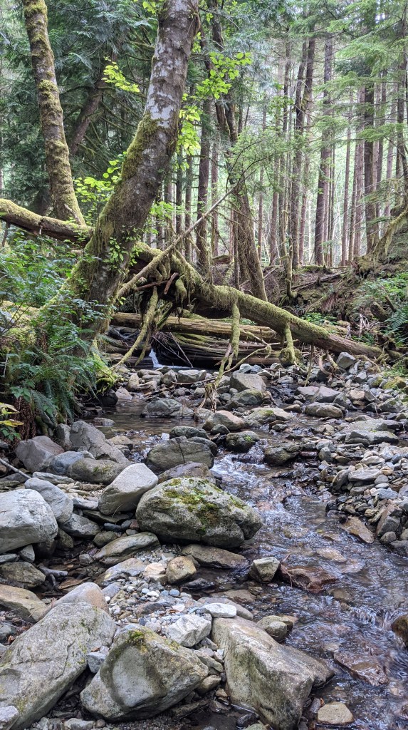
I finally finished the inspections of the Carbon River plots I’ve been doing all summer long!
I did it over the course of a few days, and I even brought along some help to have some much needed company and to get things done a bit faster.
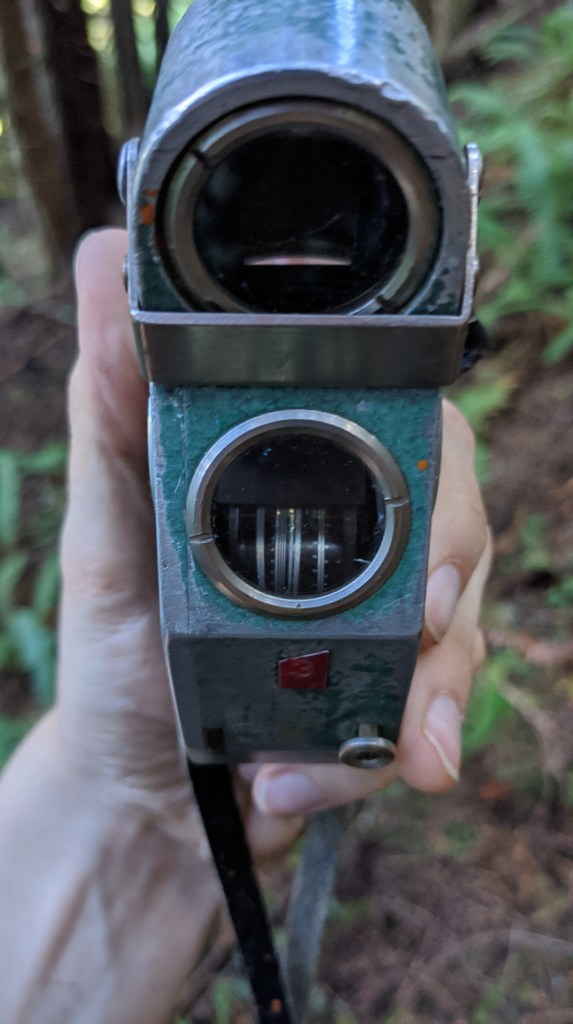
Relaskop
I’ll start off with the Relaskop and how I use it to tell which trees are in depending on the basal area I’m going for on each plot. In the last blog post I detailed exactly how I know which trees need to be in using math. This is more of a supplement to that to show you the tool we use in the PNW the most often to determine stand basal area.
I encourage you to watch this short video if you want a mathematical explanation for how the relaskop works. In short, it has to do with angles in relation to the observer and the proportional size of trees.
Take a look at the photos below:
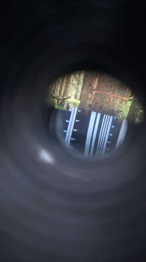
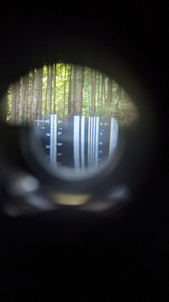
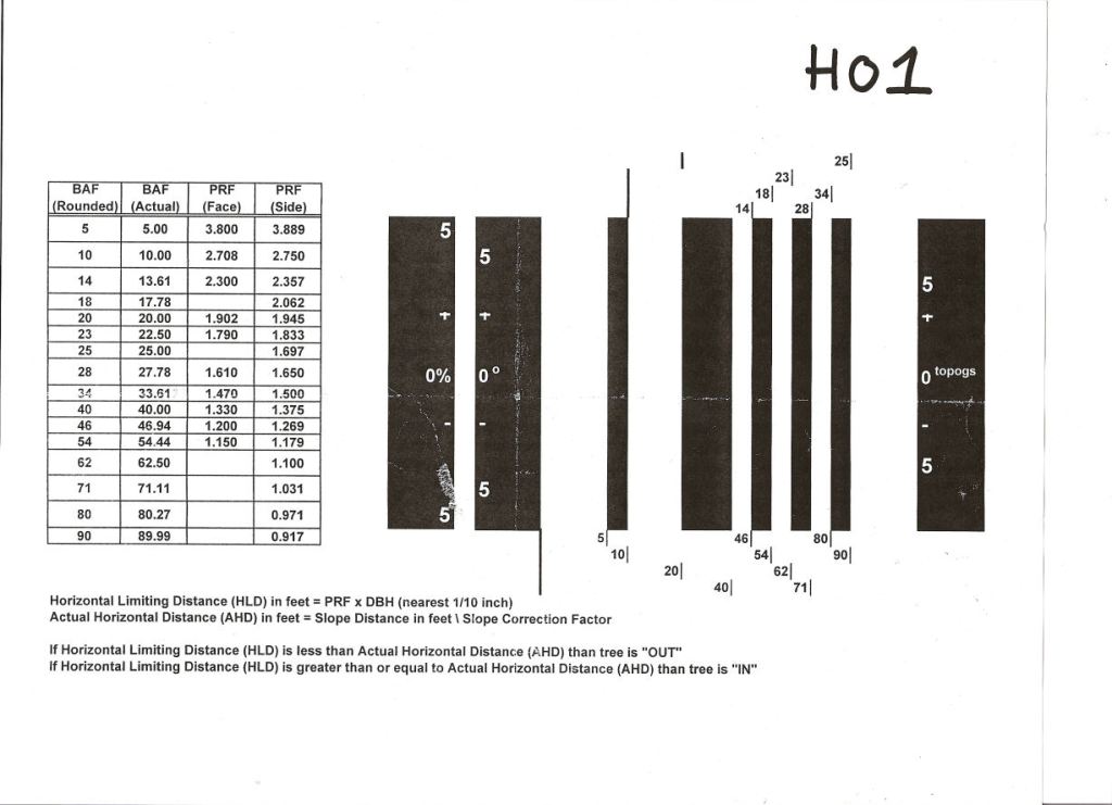
A common basal area factor (BAF) we use in the Northwest is 40. That means that each tree we see will count for 40 square feet of basal area in a stand. If we see 10 trees that are in, that means we are sampling 400 square feet of basal area in a stand. if we see 5, we are sampling 200 square feet. The key here is knowing which trees are in, and which we shouldn’t count. I talked about this last time with a prism, but it’s a similar concept with a relaskop, just with a few more steps because the relaskop has variable basal areas.
In the last scan, you can see a bunch of lines on the right side of the image, with numbers at the bottom indicating basal area factor. When we shoot 40 BAF, we’re looking for the tree to be larger than the space from the start of the big white block (to the left of the number 5) to the end of the thick black line (where 40 is). The first image above is an example of a tree that is considered “in”, and the second image is a tree that is considered “out” and thus not counted. However, if I was closer to the smaller tree such that it appeared to fill in the space mentioned above, then it would be considered “in” my plot and I would count it. That’s why it’s really important to have a consistent plot center that doesn’t move because it can change which trees are “in” and “out” of your plot.
Starting a turf war with the National Parks
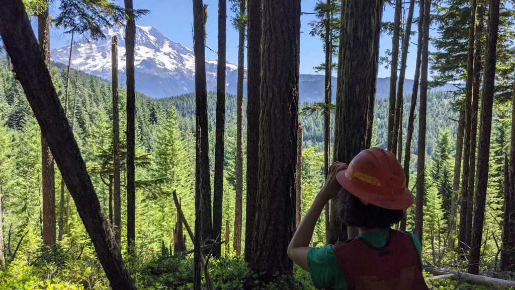
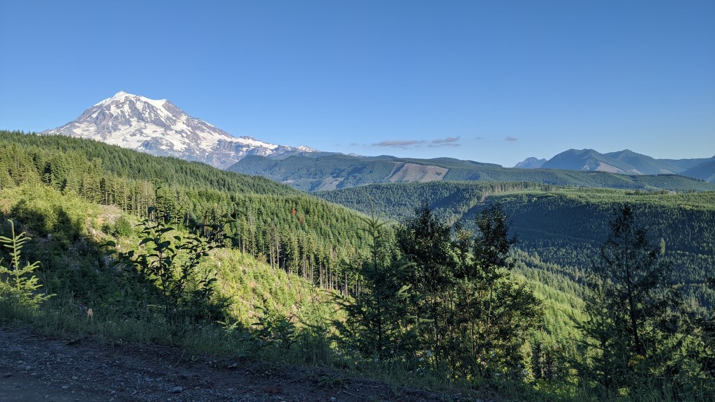
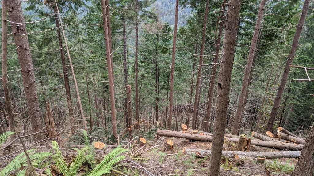
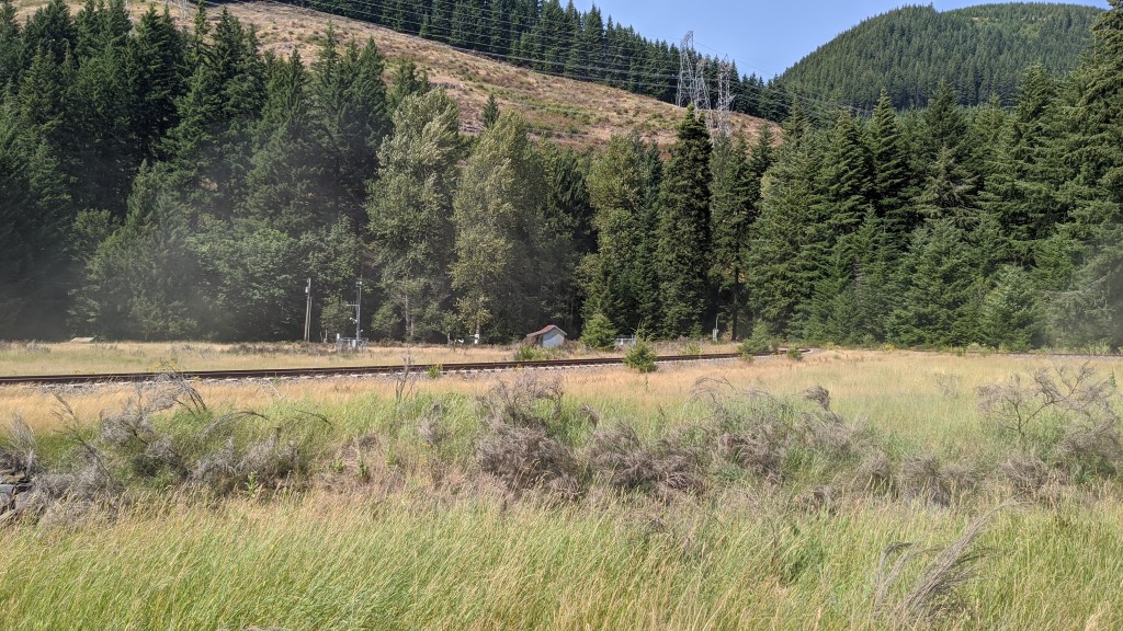
On one of the days I went to Carbon River, I took my coworker Jean with me to help with plots! We got super lucky and saw an awesome plot with a view of Mt. Rainier, which was in an old-growth stand.
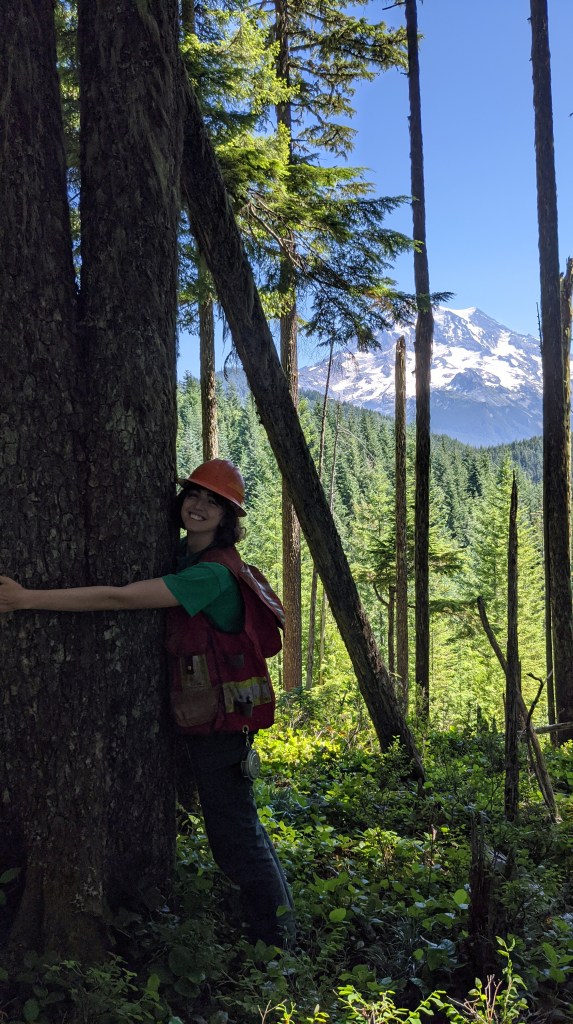
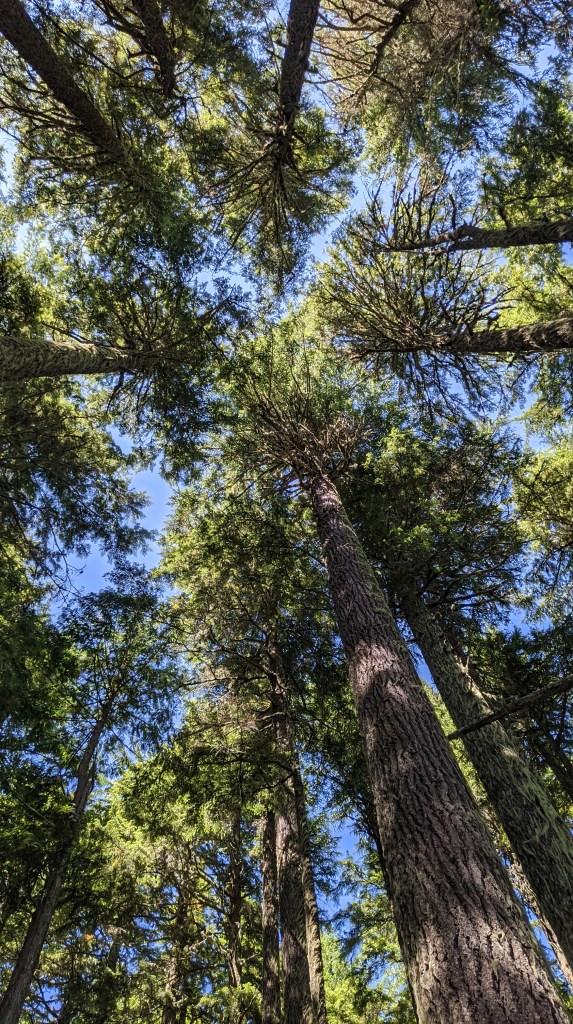
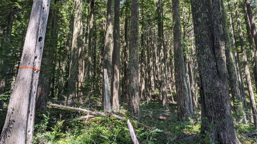
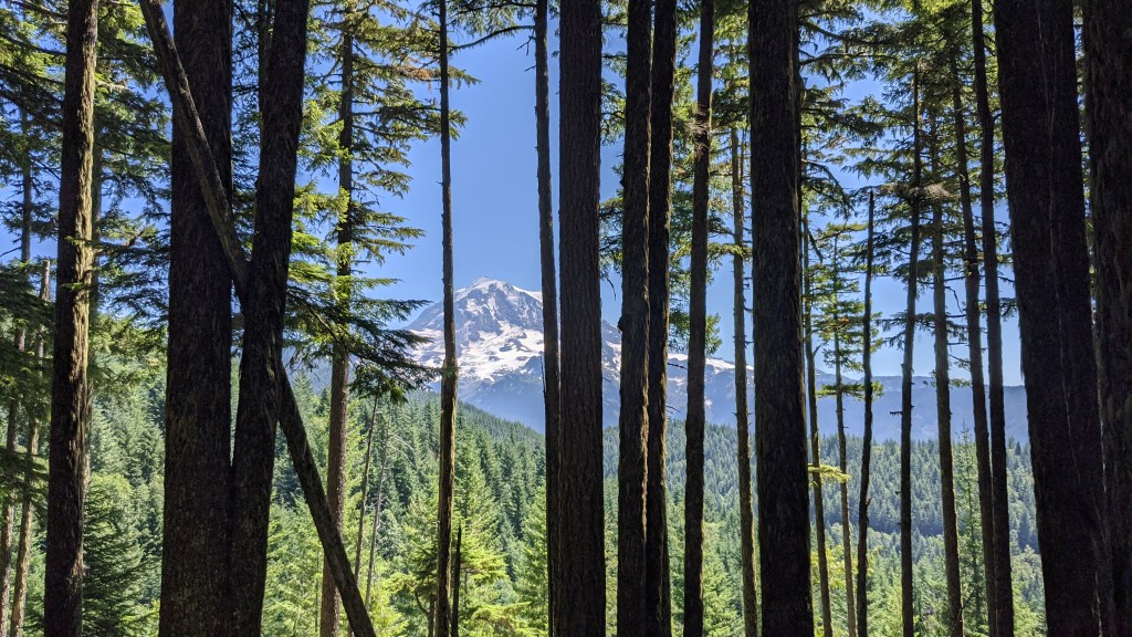
The trees were HUGE and covered with all sorts of moss and lichen – something we don’t see very often in the stands that we work in.
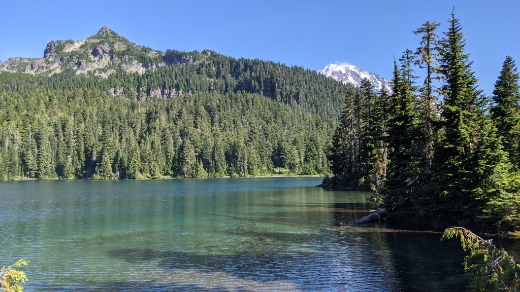
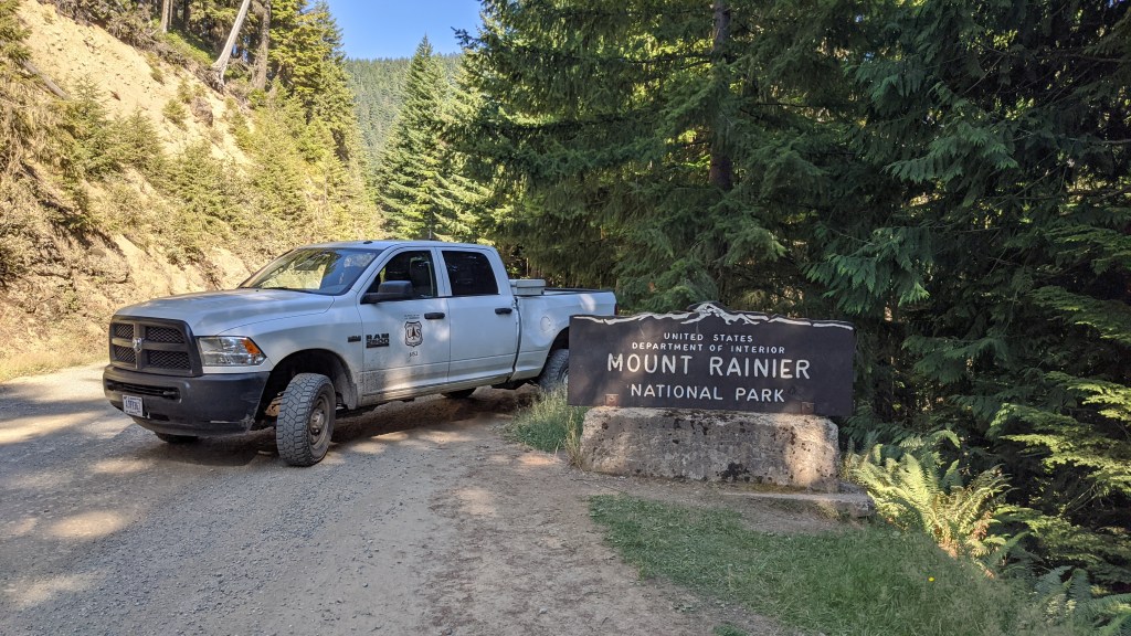
Doing that plot was honestly the highlight of our day! We finished up the rest of the plots we were doing then decided to take a side trip to Mt Rainier National Park in the government rig to see Mowich Lake and to see what would happen when we drove a USFS vehicle into NPS land.
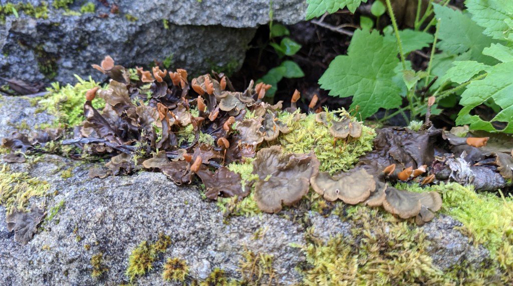
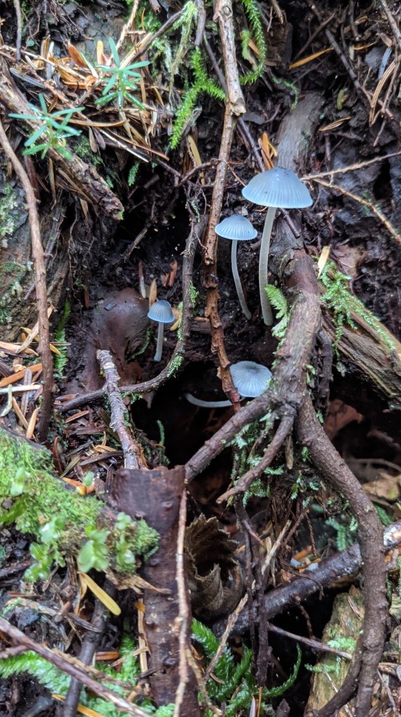
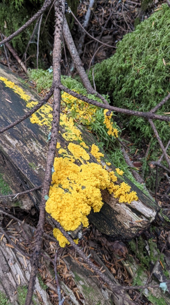
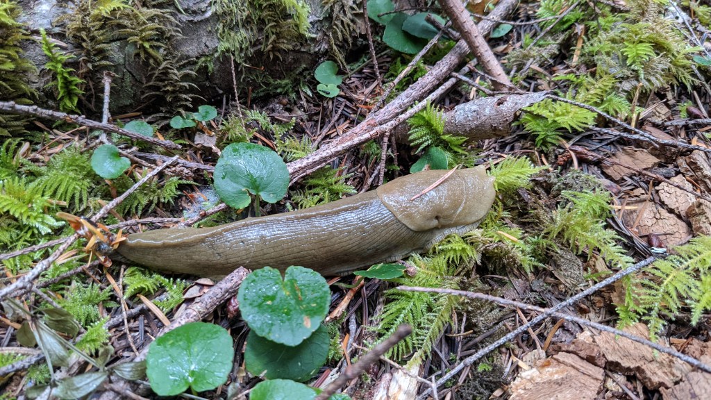
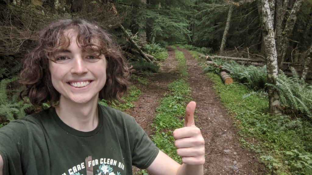
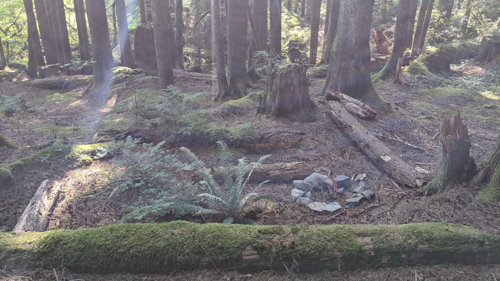
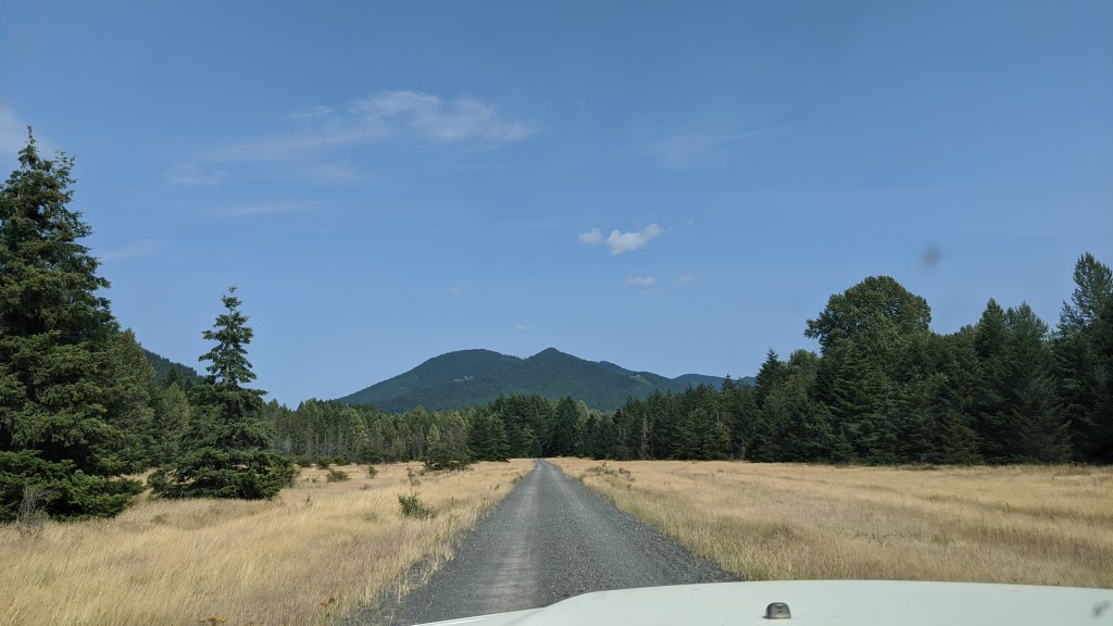
My very last day doing the Carbon River project was quiet and I saw a cool mushroom, slime mold, and a slug! I also had to cut some logs out of the road as one of the last things I did out in the field.
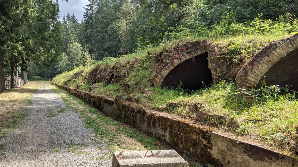
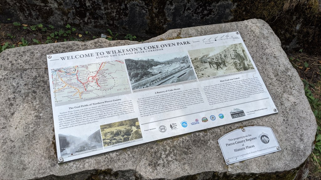
The third to last photo is of an historic coke smelter, which you can read all about in the second to last photo, or you can read more about it here!
Have Timber, will Travel
I traveled work work a TON during my last few weeks in Washington and got some good experience all over the region!
Olympia, again!
I spent a few more days in Olympia to help finalize the cruise for the same sale the Olympic National Forest is working on, and had a great time. I got to work with some folks from other forests in the region, too.
I didn’t get any photos of us doing the field work, since you’ve seen a lot of photos of the woods in that area, but I did get some of the Washington capitol building and of my Airbnb:

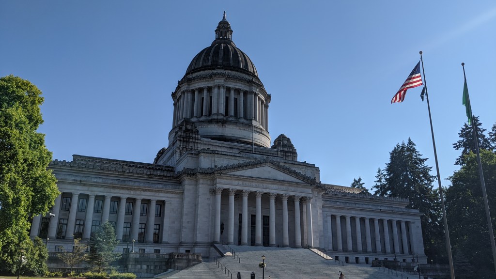
At my Airbnb, my host was super nice, and the listing was very close to a bakery and a small park! The capitol dome was nice to see, and I ran into Doug, a very interesting guy from the Philippines who makes YouTube videos. You can find his channel here.
Glacier
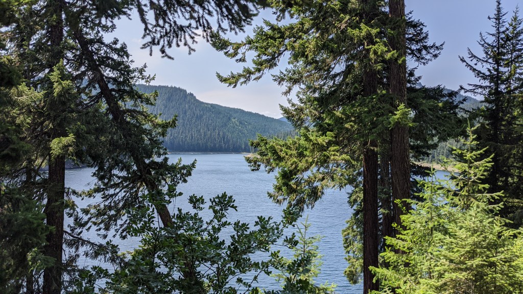
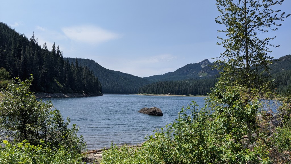
I went to help with the Kidney Stone sale in Glacier one last time as well. I was taking GPS points of the unit boundaries while one of my coworkers went behind me and sprayed the trees orange with paint. He liked doing the paint more, and I like taking the GPS points more so it all worked out.
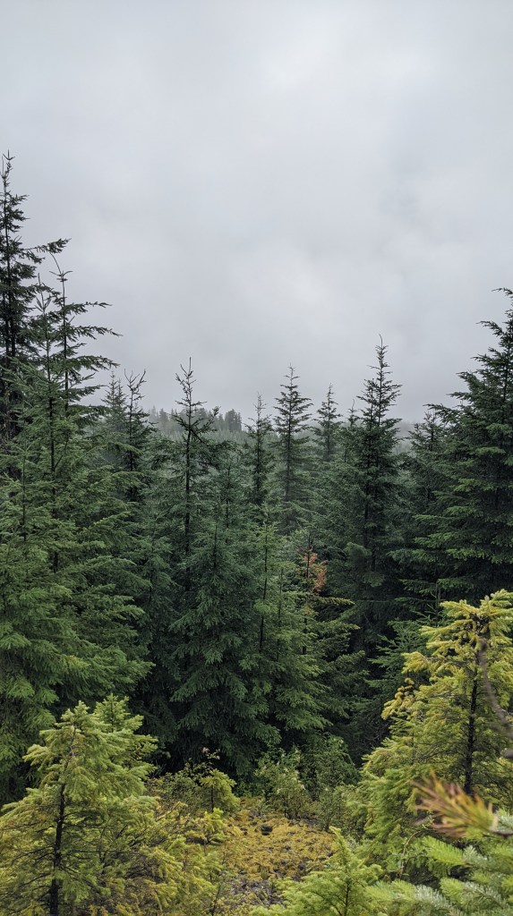
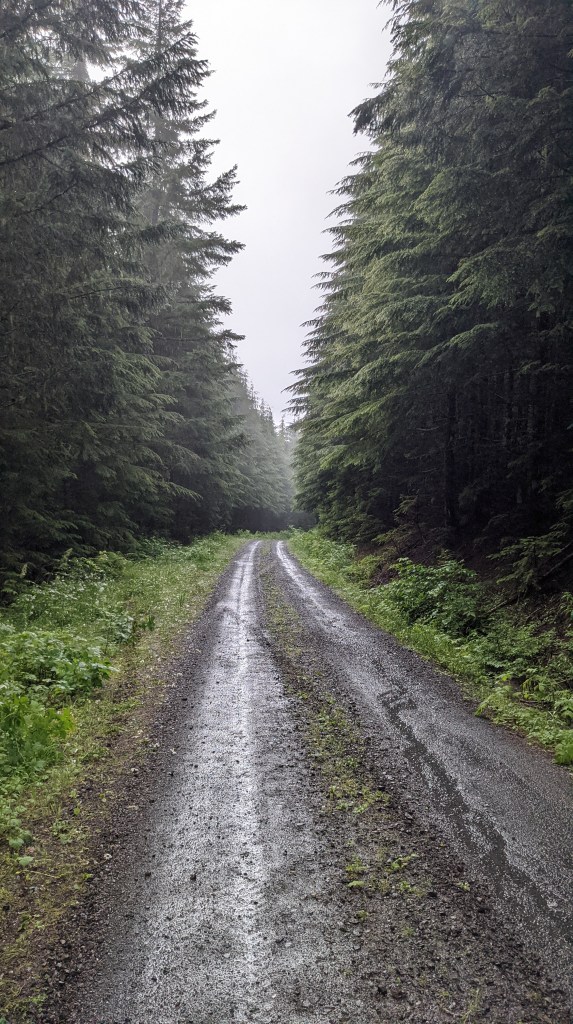
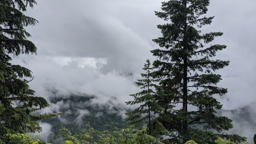
The forest was acting very Pacific Northwest during the days I was there, which was nice to see.
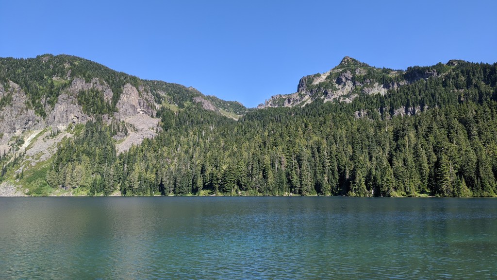
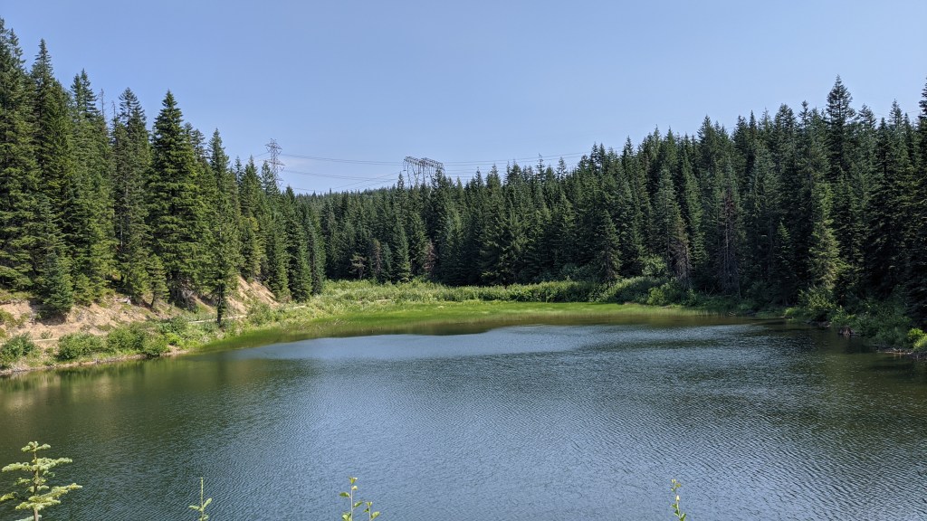
When we got done we checked out a lake nearby the project area:
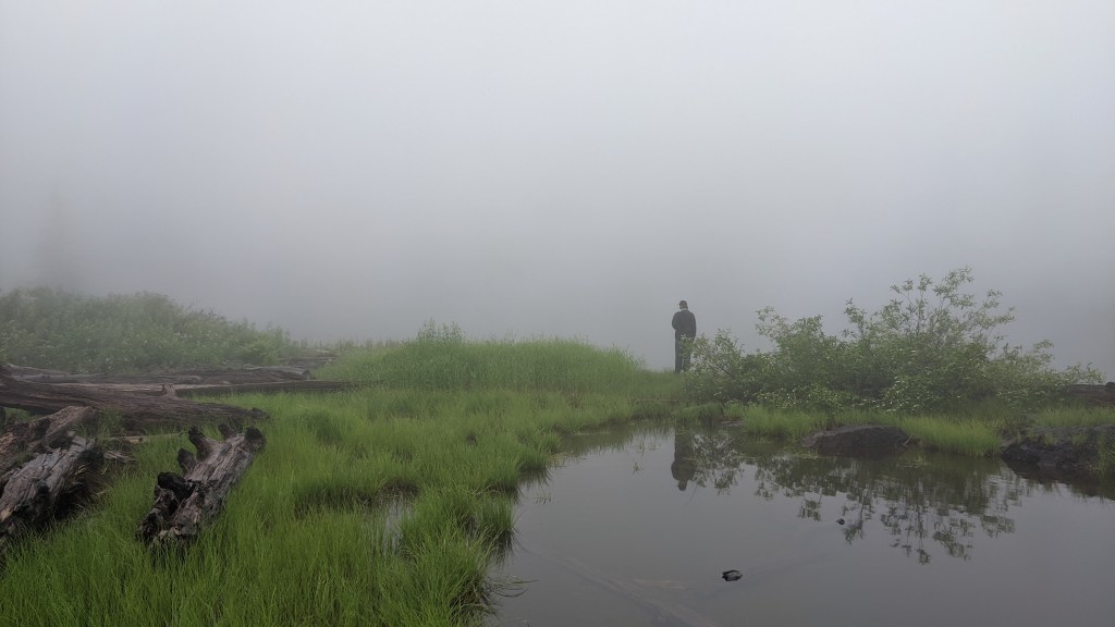

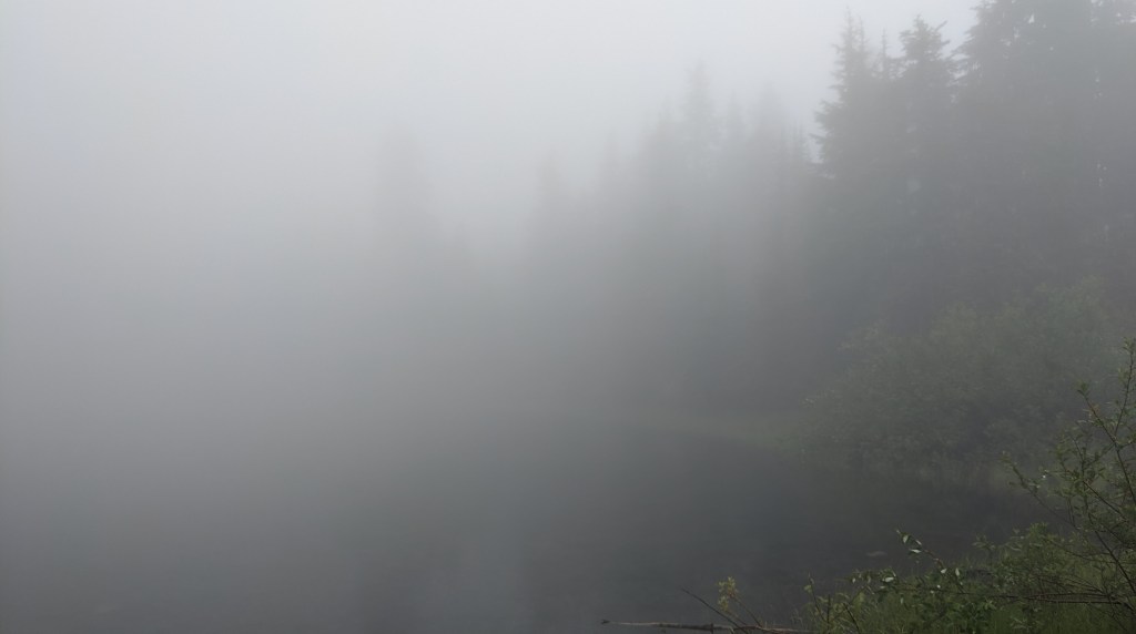
It was so foggy that it was hard to see where the water stopped and where the fog started!
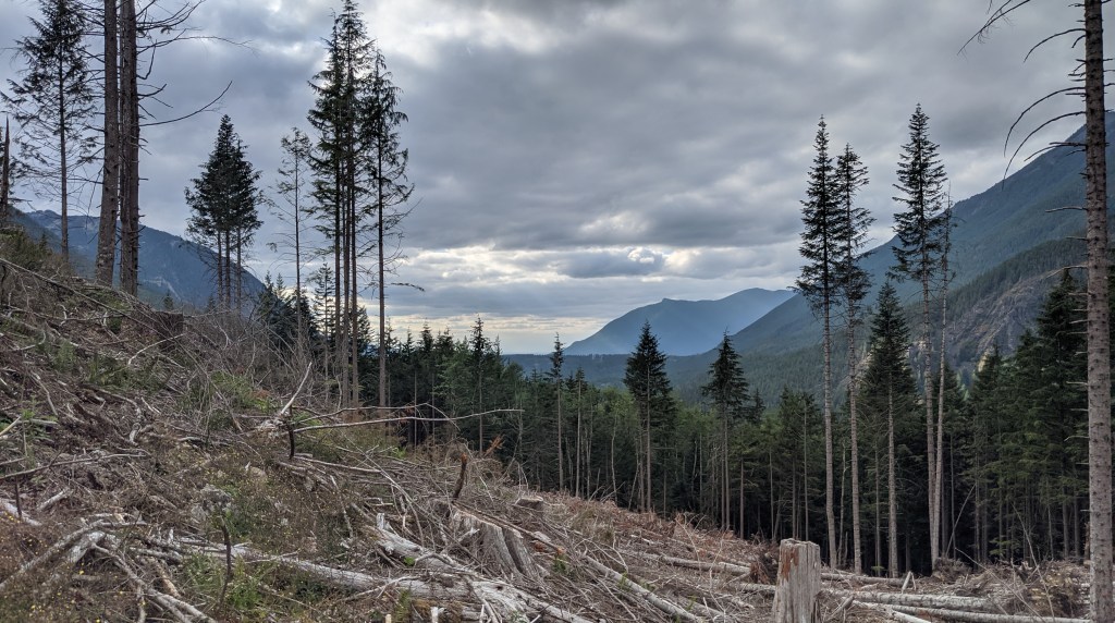
Counting trees
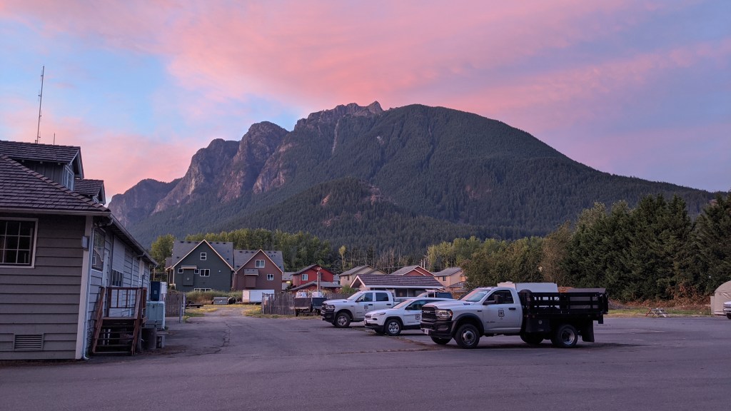
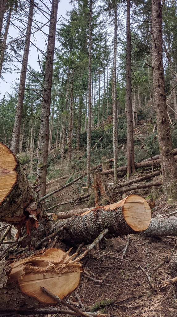
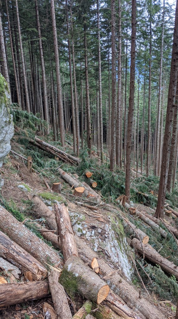
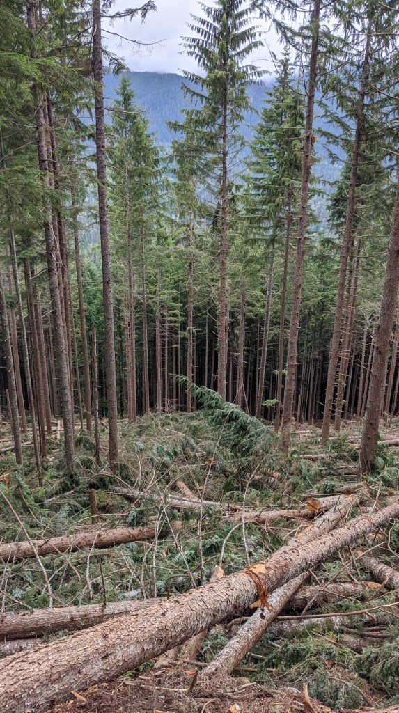
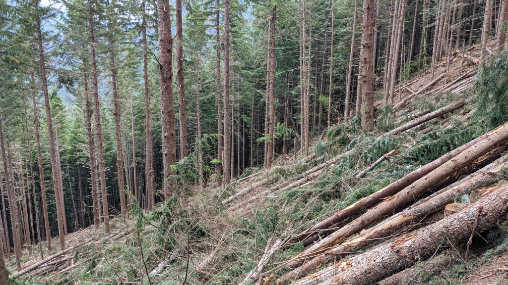
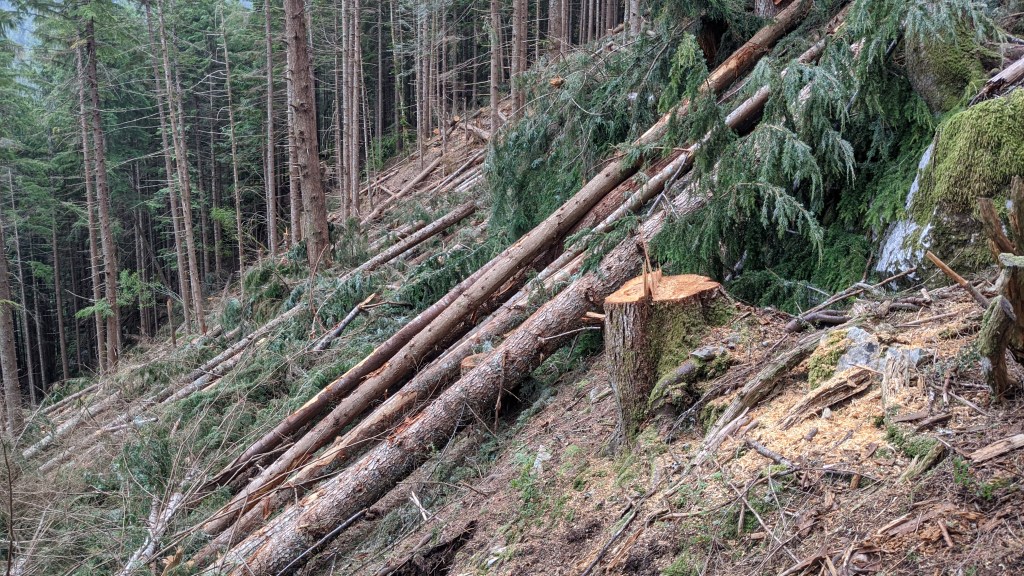
One of my other projects this summer has been to certify the regeneration of stands that were cut in 2017 nearby North Bend. I went out a few weeks before this post takes place and certified a bunch of stands, but this time around I went and inspected the other half of the plots to see how things were regrowing.
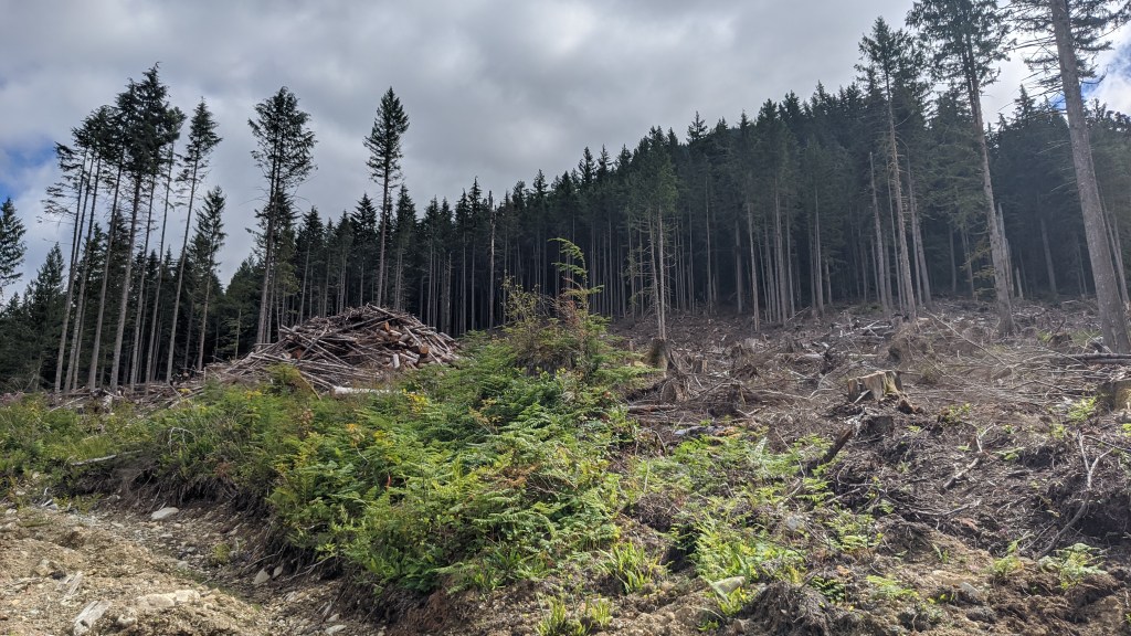
Now you may be asking yourself:
“Erin! Those pictures look very gruesome. I thought that the forest service doesn’t do clearcutting like that anymore. Especially after the development of the Northwest Forest Plan following the spotted owl controversy. Additionally, isn’t clearcutting bad for the environment? How can it be that these cuts are happening here on Forest Service land???”
To which I would say:
I’m glad you asked, dear reader! And excellent recall of forest policy in the Pacific Northwest.
The answer is extremely complicated and I can’t do it all justice in this one blog post. If you really want a detailed answer, short of getting a getting a degree in forestry, I would highly recommend reading The Final Forest by William Dietrich.
The short of it is that there are sound ecological reasons to clearcut and it’s a very case-by-case basis. On this particular sale, steps were taken to buffer streams from the cutting area so that stream temperature would not increase as a result of being exposed to direct sunlight. Additionally, cutting units were small compared to historical clearcuts. Because of the small size of these units, we can actually mimic stand disturbance events, like fires that burn down an entire stand, to promote succession in these areas.
Most importantly, though, is that the Forest Service was not the ones working on these sales. While the land the sale is on is Forest Service, we actually partnered with Washington Department of Natural Resources using our Good Neighbor Authority. They’re the ones that did most of the work for preparing this sale, and we just gave them the land.
The eagle-eyed readers among you will remember a few posts back about when I went to a DNR training for flagging boundary trees and how we were using good neighbor authority in that sale to allow them to do all of the preparation administration.
Believe it or not there was actually some regeneration! Not as many as the one I talked about a few posts ago, but there was enough to be in the range of what we wanted to see. If that wasn’t the case, we would have to plant seedlings to get to the levels that were desirable for the area.
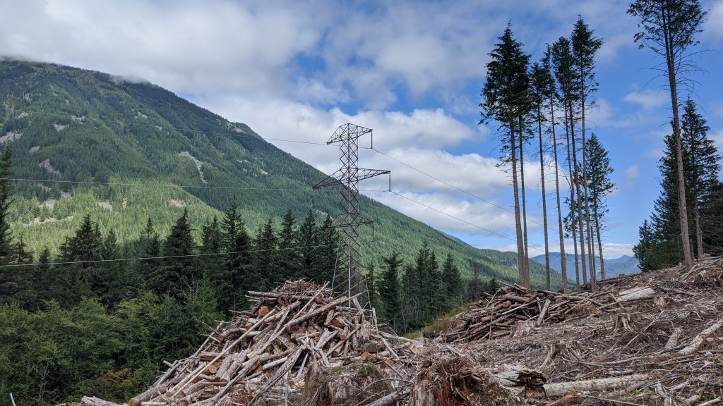
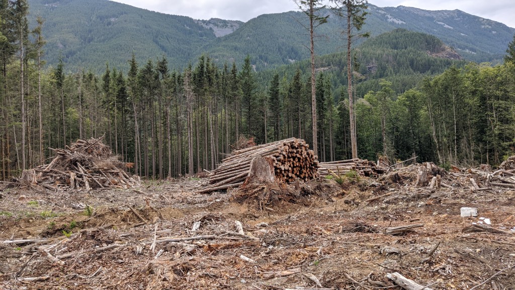
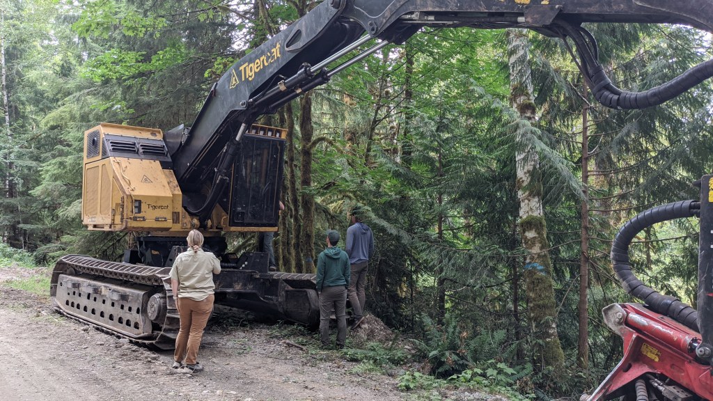
Inspecting Loggers
Back in Verlot, we were inspecting some of the work that the loggers have been doing on one of the many active sales going on up there right now.
Our sale administrator believes that the loggers are taking too much and we went to see if they were meeting the intended removal amount.
The count can be done pretty easily. All we have to do is know what our target basal area is, and tally up trees that are considered “in” on our plot, in a similar way to how we were determining what trees were in in cruising (see the first section of this post). We were using a basal area factor of 20, meaning that every “in” tree counted for 20ft^2 of basal area for the stand. So if we counted 3 “in” trees, we would have a basal area of 60ft^2 for the stand. Our goal was 140ft^2 of basal area, or an average of 7.5 trees per random plot we did. The loggers had a range of 130-150ft^2 they could be cutting at to meet the target and to allow for operations trees (trees that have to be cut for logistical reasons), etc.
Our results found that they were cutting very thin! They were consistently cutting at 130ft^2 which was at the lower end of the acceptable range, and not in the intent of the sale prescription.
There are a lot of options that a sale administrator can do in this situation, ranging from simply talking to the logger all the way to putting them in breach of contract and telling them which individual trees they’re allowed to cut.
I left before this situation got resolved, but these issues come up a lot and sale administrators have to think on their feet and work with the loggers to get the sale done.
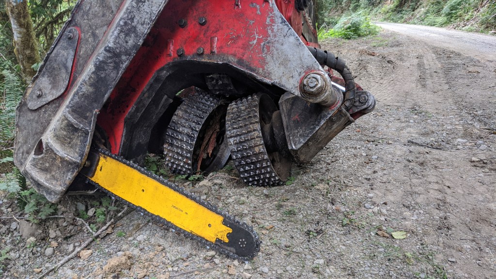
We also got to check out their new harvester head for cutting trees. It’s pretty big! This machine is able to pick up trees like they’re toys and cut them with amazing accuracy.
Fire Severity Patrol
I briefly worked with fire one weekend to get some extra hours and to spread the message about the state-wide fire ban.
That sort of thing is called a severity patrol, which involves a lot of driving around the forest and talking to people. If you see people around a fire ring you have to get out and tell them about the fire ban, make sure that the fire is out and educate them about wildfires. It’s not a bad way to spend the weekend and it lets you get out and talk to people.
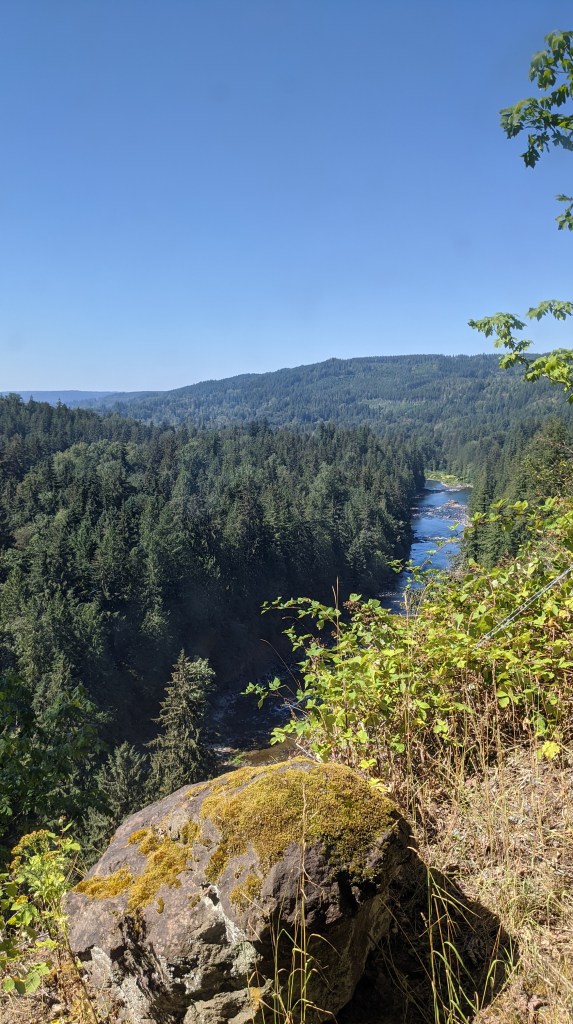
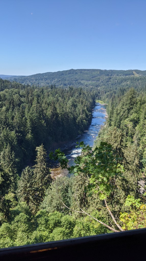
We ended up driving all over the forest – almost to the Okanogan-Wenatchee National Forest and ended up in one of my favorite places in the entire Mount Baker-Snoqualmie: the Ghost Town of Lester.
Lester was a town that sprung up because of the rail line that went over Snoqualmie Pass. There’s a very fascinating history about why the railroad is placed here, and it actually diverges further north to go through a mountain and into another ghost town. Its population peaked at about 1,000 and They ended up demolishing the buildings that remained in the town in 2017, and there used to be a USFS guard station there where workers would live to do trail maintenance.
It was a cool abandoned spot, but you need to have 4 wheel drive on your vehicle to be able to get there. It’s also the headwaters of the water source for the city of Tacoma!
After checking out Lester, we headed back to talk to some more campers and a thru-hiker doing the PCT before going back to North Bend. It was a fun day!
Fun and Games
Despite all of my traveling around the Puget Sound region for work, I was able to get up to some interesting things during my time off!
Seafair and the case of the I-90 Floating Bridge
I was made aware of this by one of my co-workers who described it as a “quintessential PNW event.”
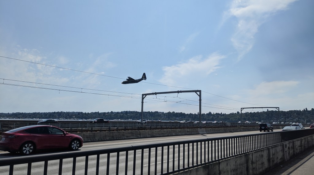
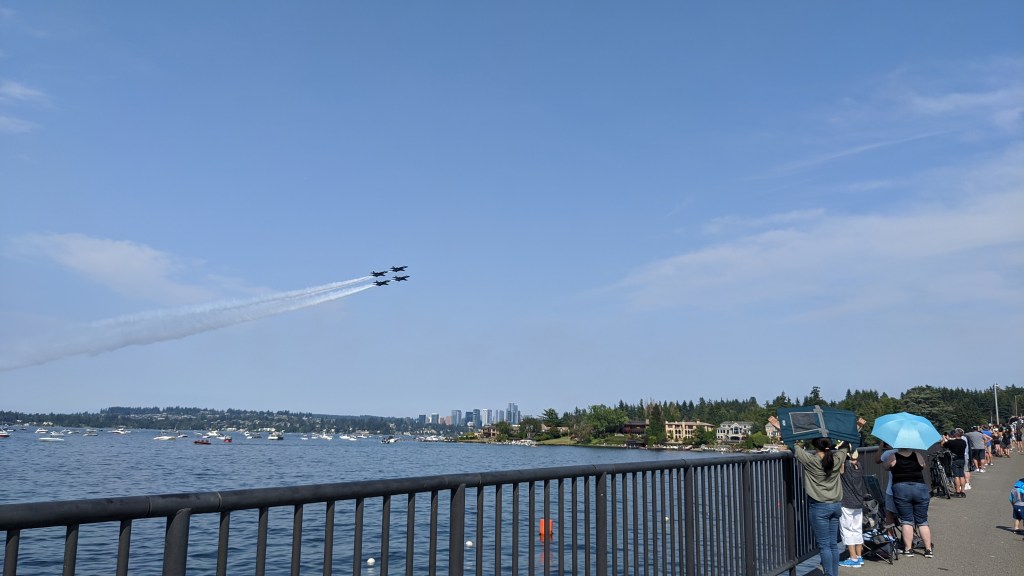
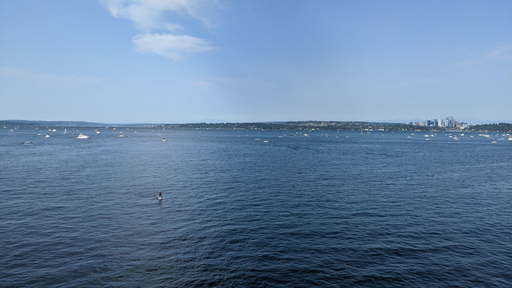
For the unfamiliar, Seafair is a festival that takes place on Lake Washington, which is next to Seattle. It involves racing hydroplanes and showcasing the Blue Angels, as well as having parades, cookouts and other summer fun.
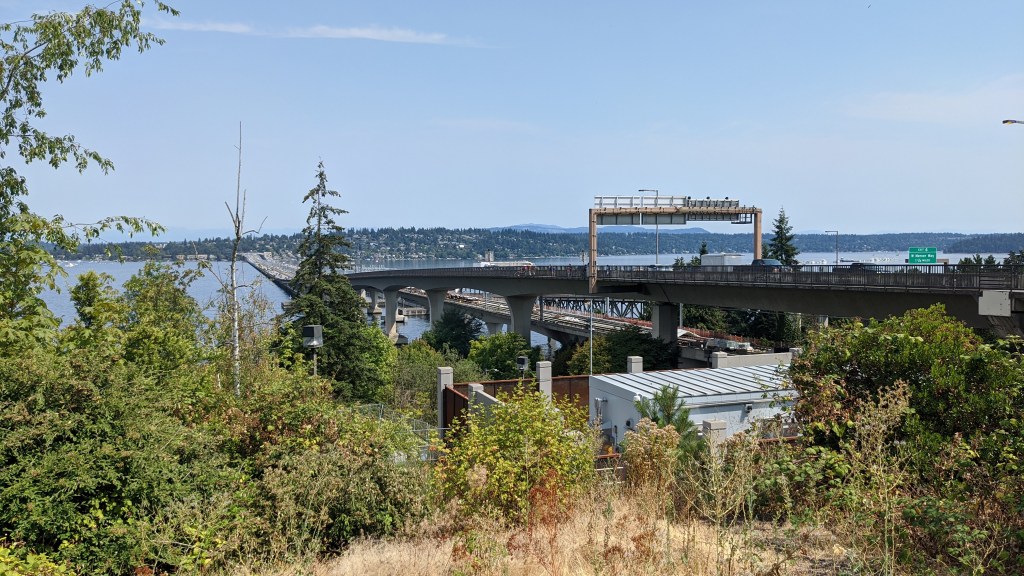
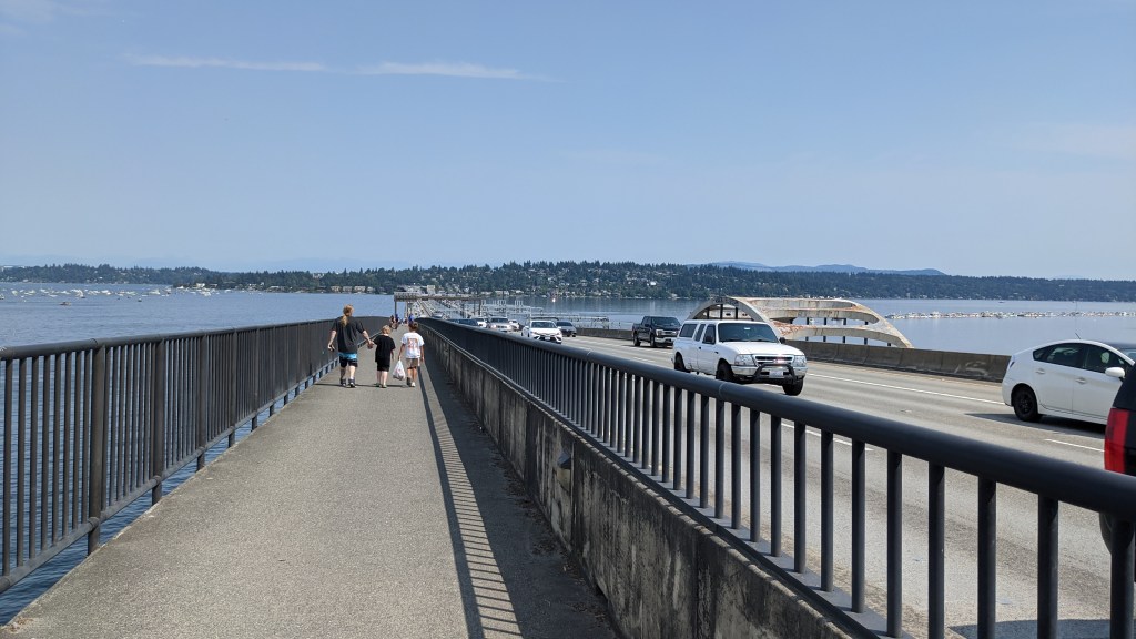
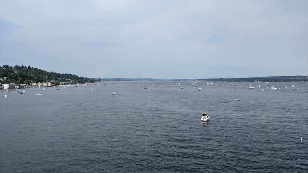
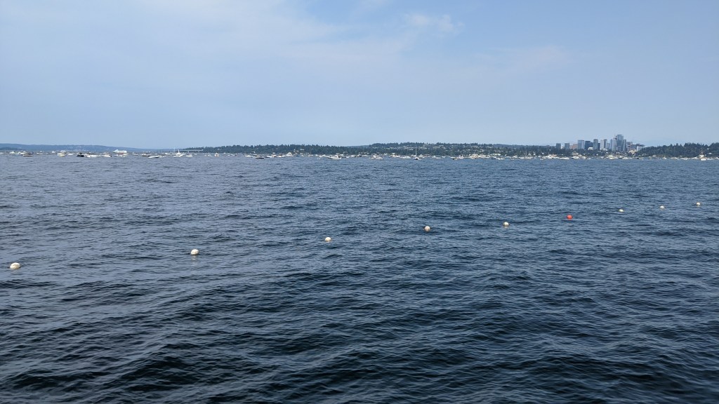

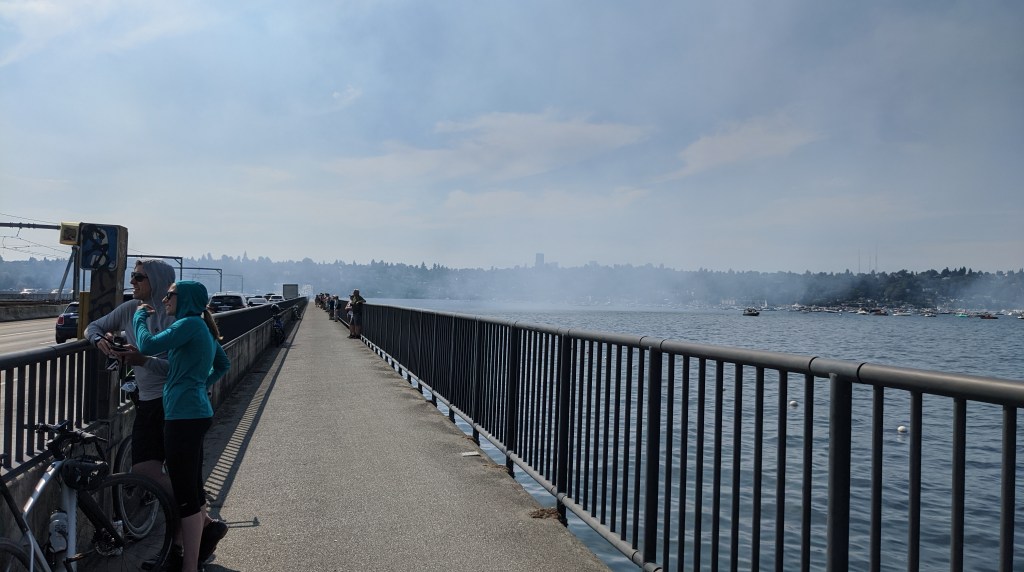
There are many ways to experience Seafair which often involve spending money, so I opted for the $0 option of standing on one of the I-90 floating bridges, which features a pedestrian walkway (which I later found out is discouraged by King County). This, of course, was the real reason I wanted to go to sea fair. I have been fascinated by this bridge ever since I first got to Seattle and going to the bridge during Seafair weekend actually raised more questions than it answered (although a lot of my questions were answered).
The main question I had was: how does the bridge account for the movement of the water? I didn’t see any expansion joints on the bridge to account for this, and actually the road is a very large piece of asphalt (or at least one section of it is).
The answer becomes clear when you look at the design of the bridge, and it’s pretty clever:
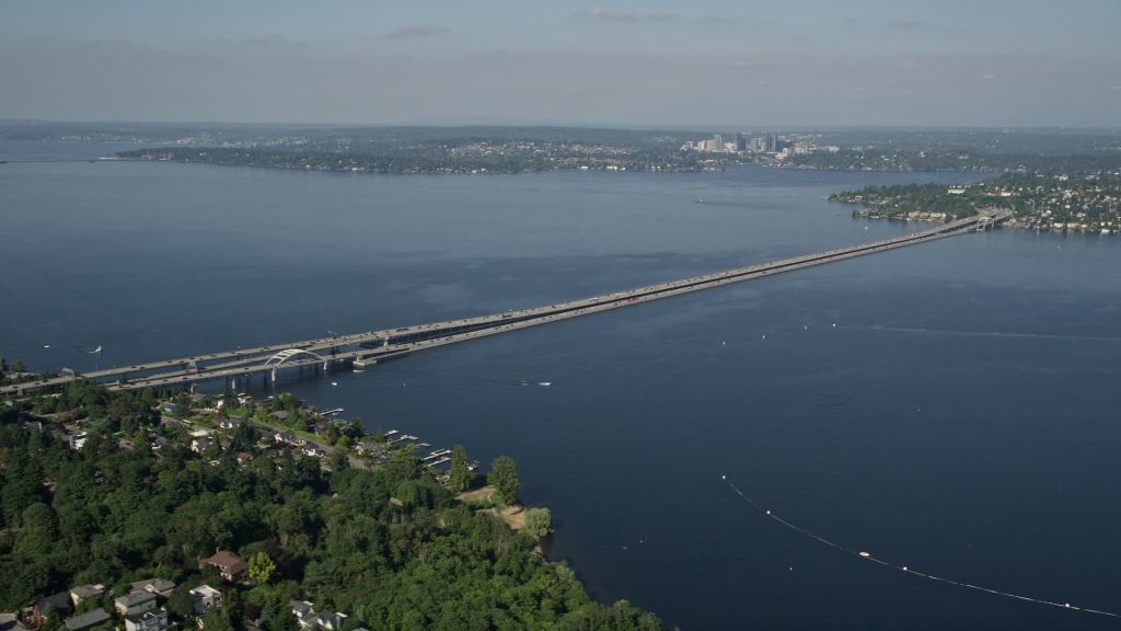
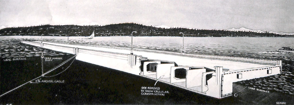
The bridge is a pontoon bridge, which is frequently used in military applications. In this case, the glacial till at the bottom of Lake Washington make it extraordinarily difficult to build traditional spans with pylons in the ground. Because of this, engineers had to develop these floating bridges to carry interstate traffic across the lake.
Looking at the second diagram, you can see that there are concrete pontoons filled with air and water that can be adjusted (although not easily) to make the bridge rise or sink. The pontoons are tethered to the bottom of the lake with anchor-like attachments to keep the floating section from bobbing and swaying with the water. The bridge will move up and down depending on the lake level, but because of the anchors it should stay still unless there were particularly large waves in Lake Washington.
If you want to learn more about the rail connection that they just completed, the Seattle Times has a very in-depth article about the engineering challenges that were faced during the construction of this bridge (spoiler: there were a lot!!!) Additionally, here is an animation of the rail connection in action. You can read more about the construction of the original bridge here.
More links for those interested:
- SR-520 Floating Bridge and Landings Project (video)
- How to: running trains across a floating bridge (video)
- The CESuRa System: Allowing Changes in a Rail Track Profile While Maintaining Full Vertical Support (academic paper)
Molly Tuttle
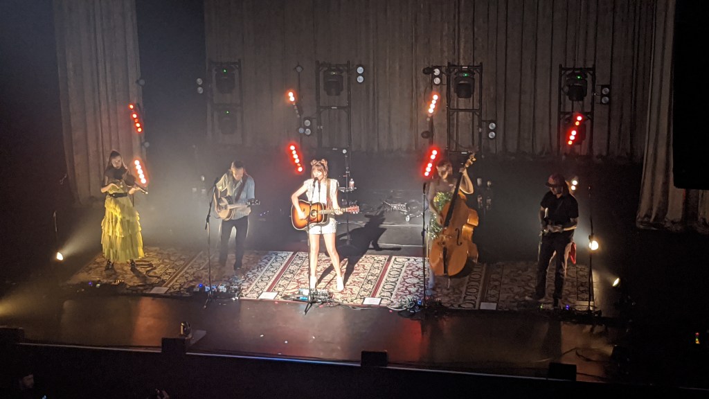
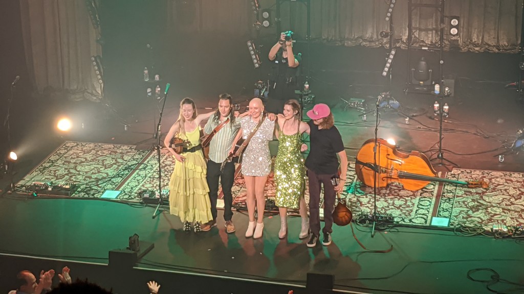
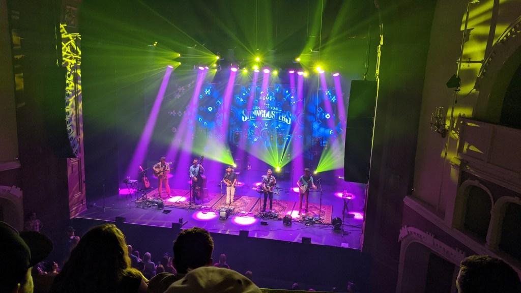
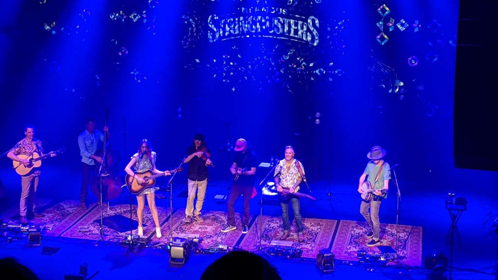
My evening plans for after Seafair were to see Molly Tuttle in concert at the Moore Theater in downtown Seattle. She’s a famous bluegrass guitar player who I’ve been a fan of for a while and it was cool to be able to see her live!
During the concert I sat next to a guy who is a dobro player, and is heavily involved in the Washington Bluegrass scene (which is significantly larger than you’d think!).
Overall it was a good way to end a fun day, and I had a really good time!
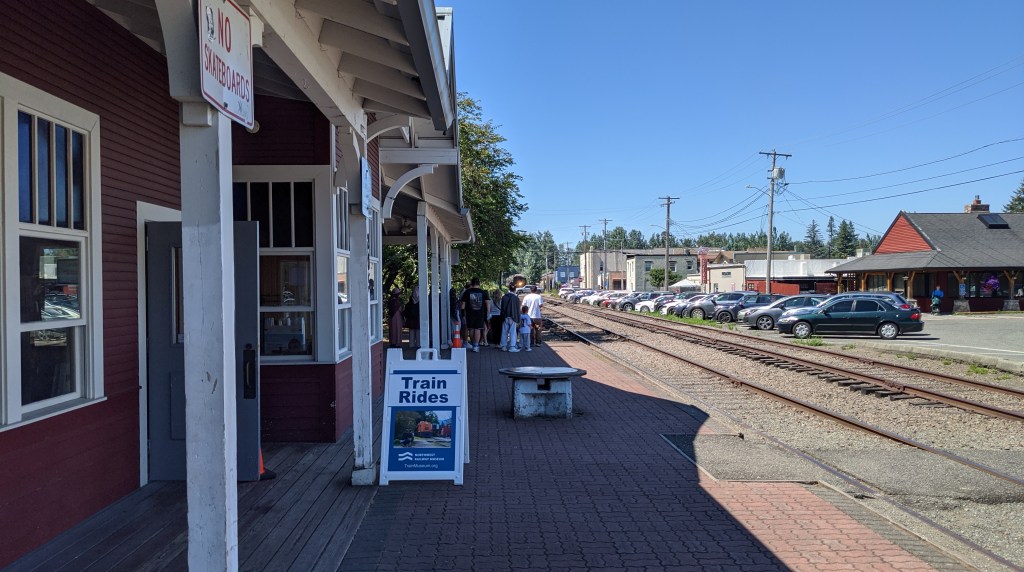
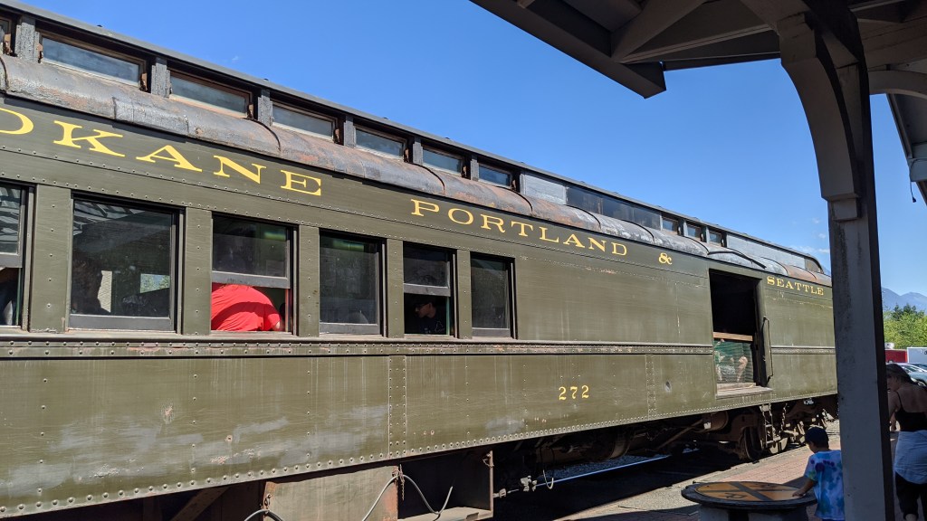
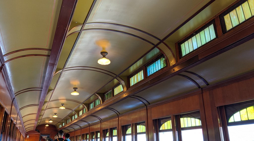
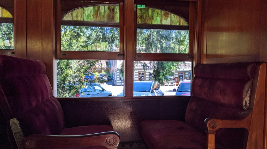
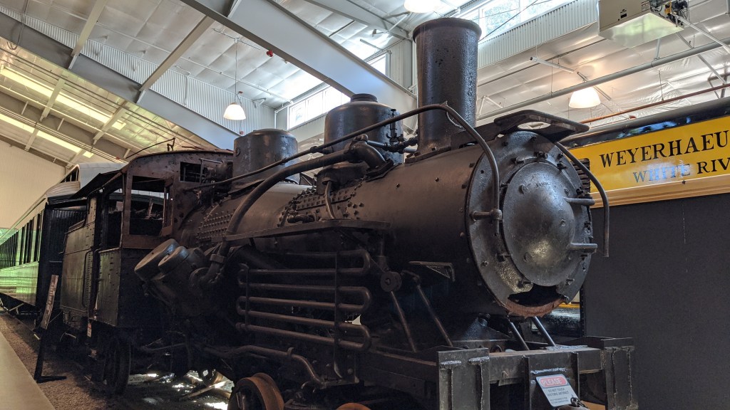
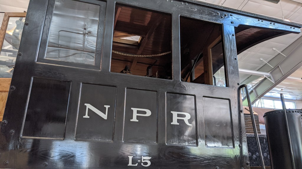
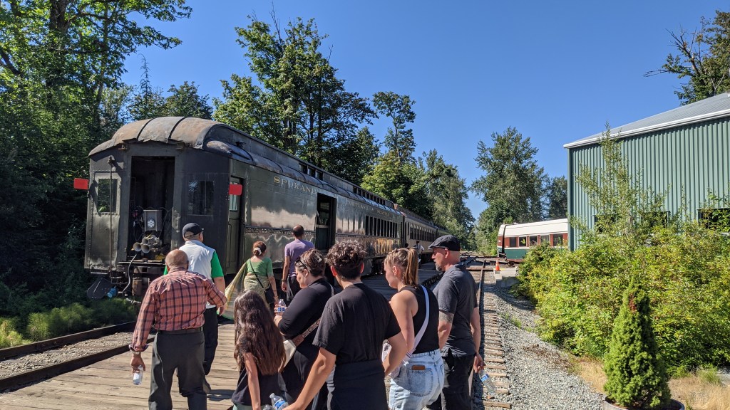
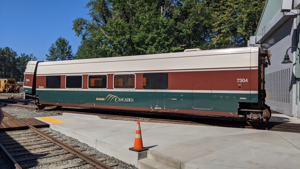
Historic Train Ride
Something I’ve been interested in doing for a long time is to check out the historic train that goes through downtown North Bend. The northwest railway museum operates historic trains that go from Snoqualmie Falls to North Bend. They also take you to their actual museum, which is built along the mail rail line. The trip was very scenic and is probably something I’d do only once, but it was fun to be able to experience it and get to ride on a train in North Bend.
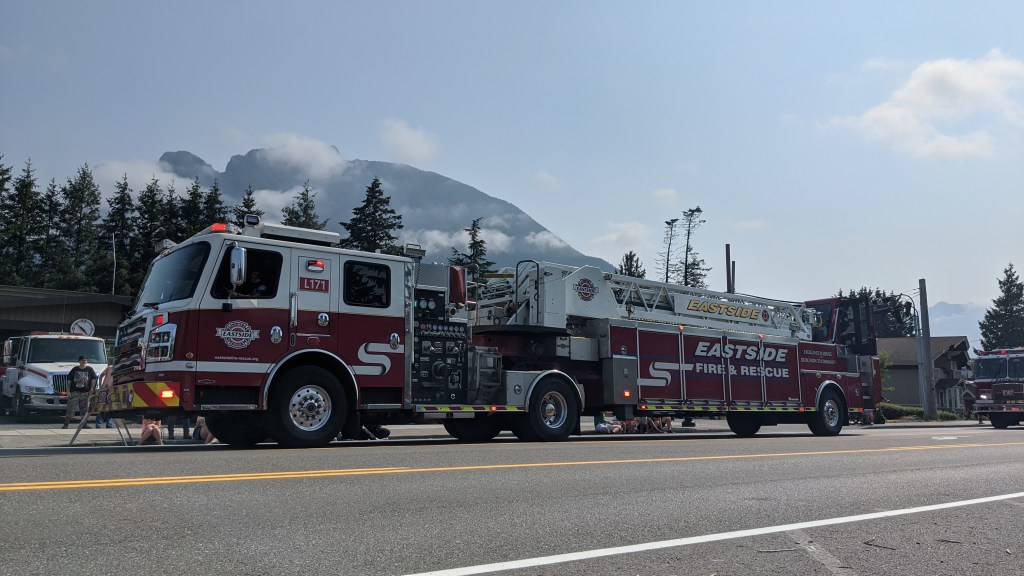
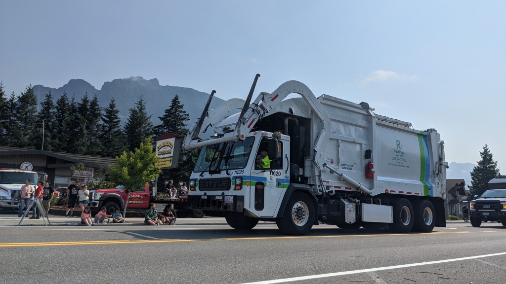
Mt Si Festival
Something I missed last year because of how school was timed was the Festival at Mt Si, which is a yearly festival that takes place in North Bend the second Saturday in August. There’s a parade, fun and games, a chili cook-off, 5k, and even a pie-eating contest.
I was able to go to the parade and the cherry pie eating contest on the first day of the festival and it was really cool!
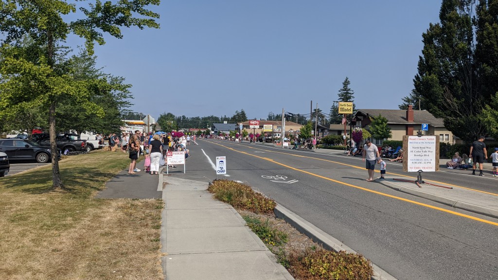
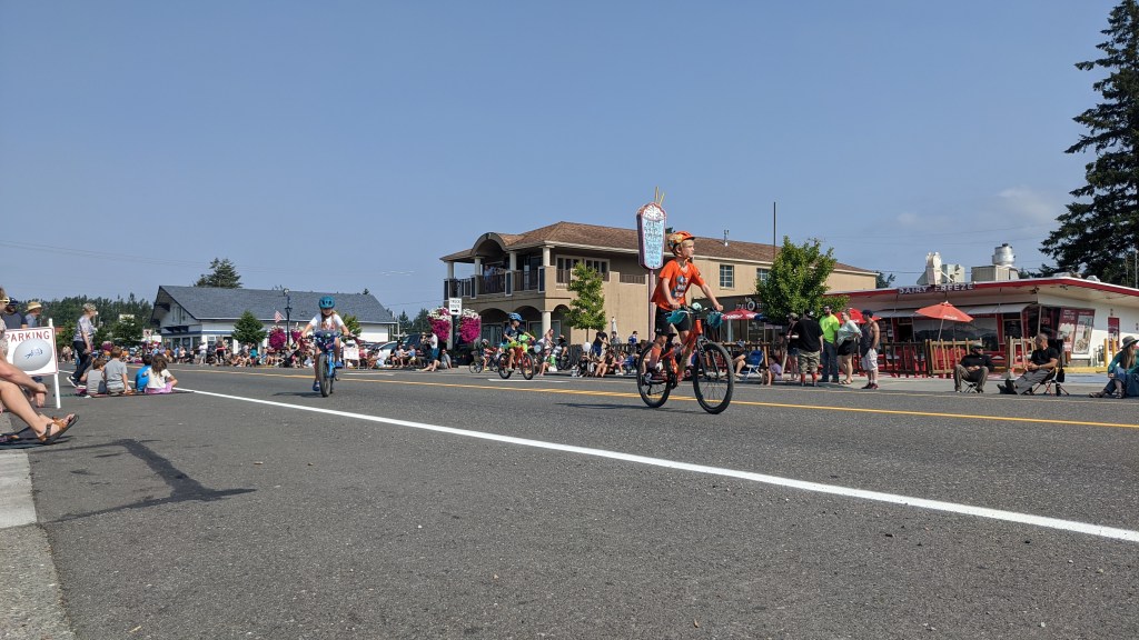
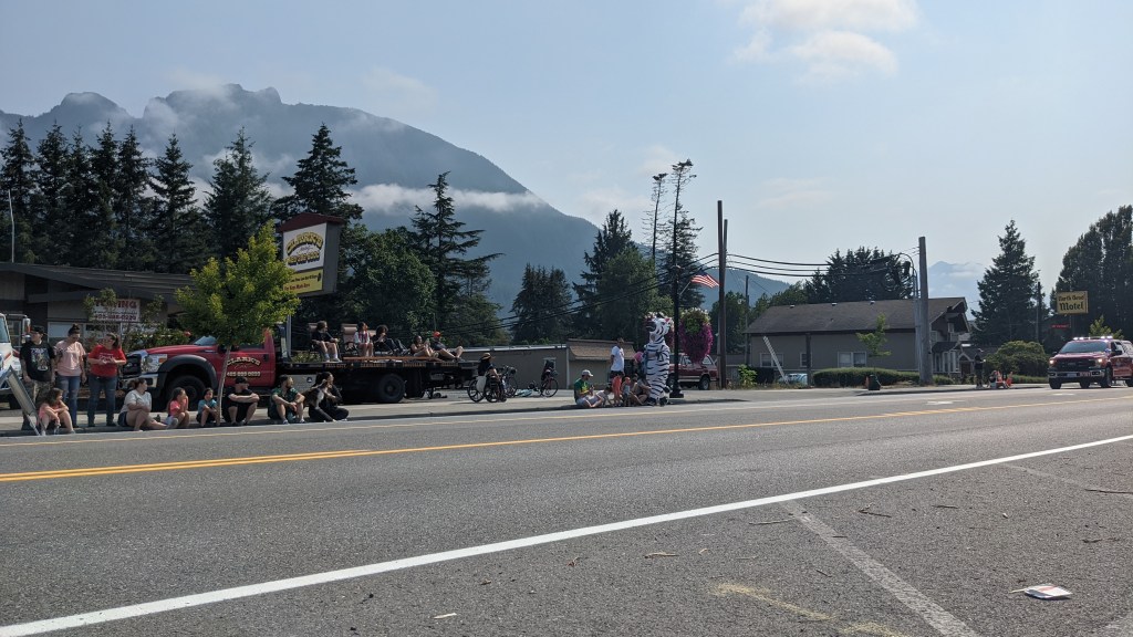
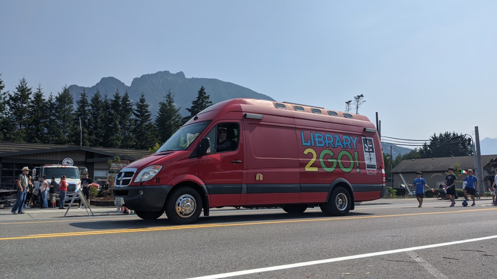
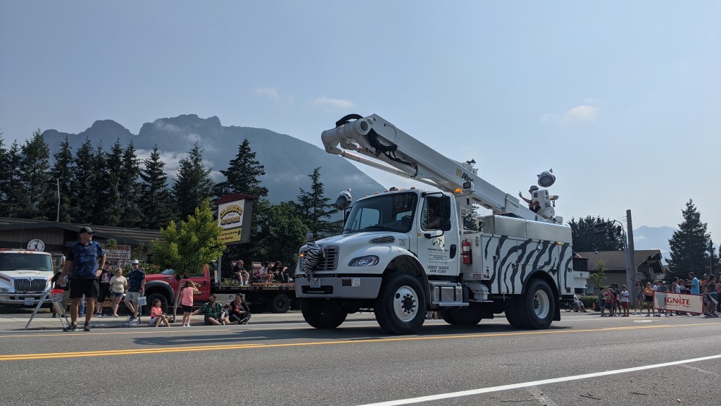
The parade was fun and included a lot of zebra iconography because of the zebras that escaped earlier this year. I got some candy and coupons for local businesses and even got to see the North Bend Mayor!

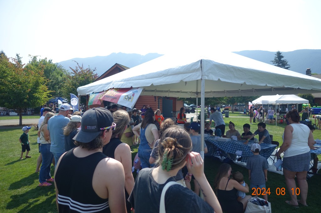
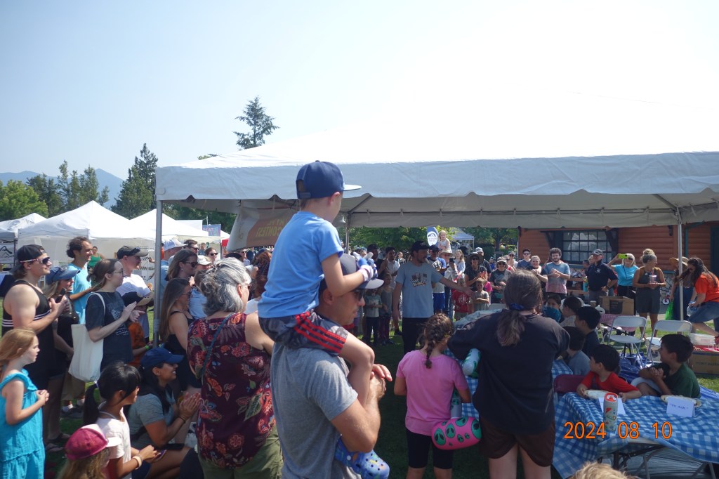
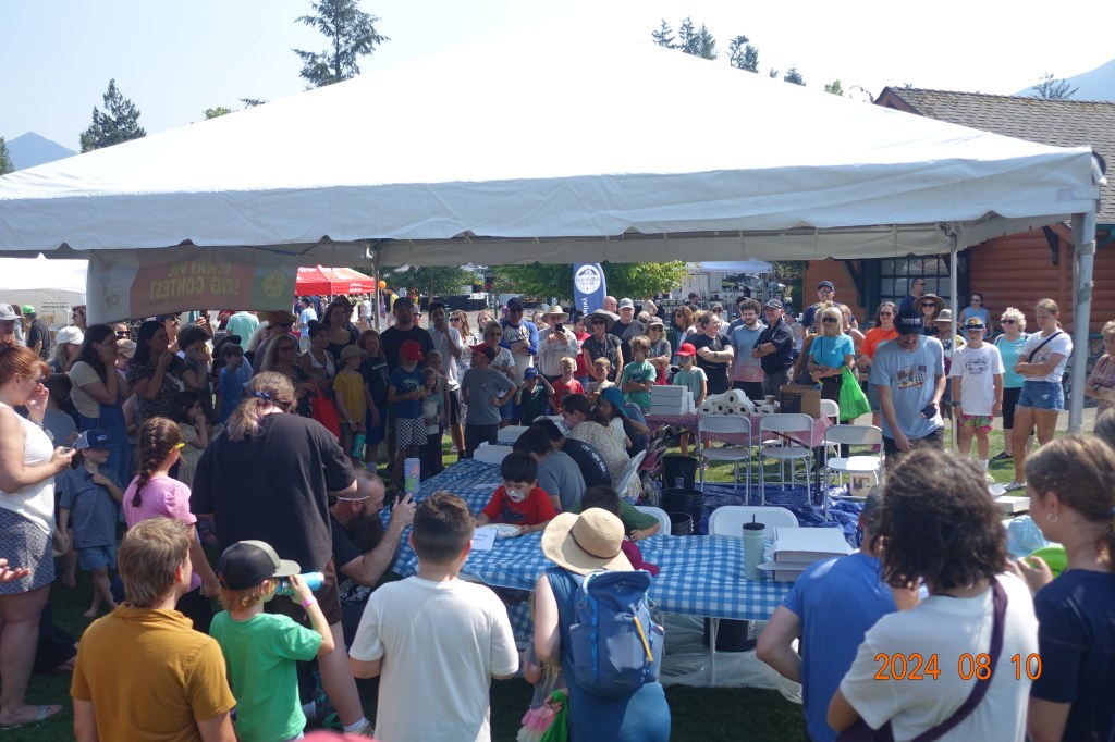
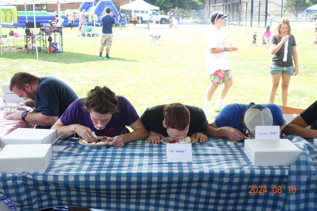
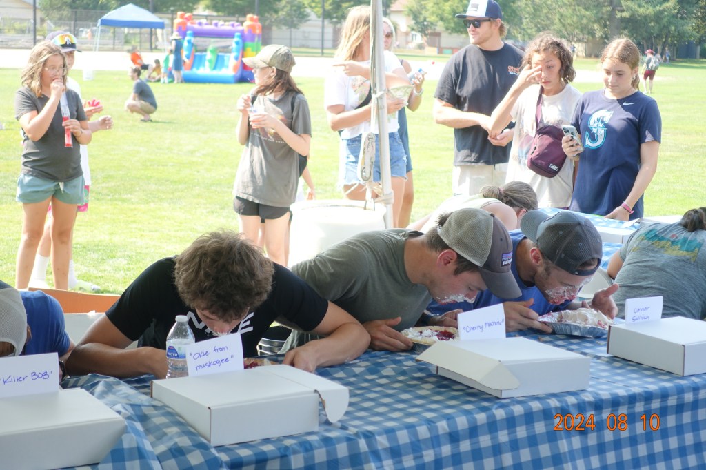
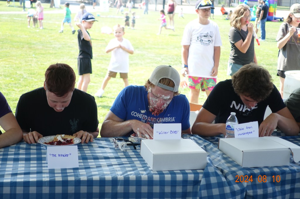
Here are some of my photos from the pie eating contest, sponsored by Twede’s Cafe which is where they filmed the diner scenes for the RR in Twin Peaks.
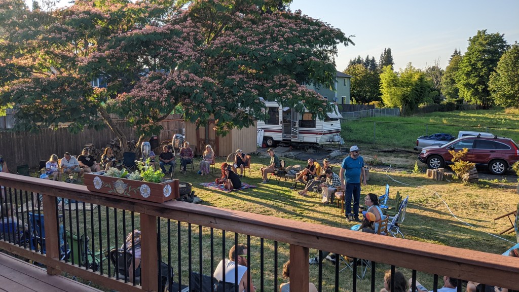
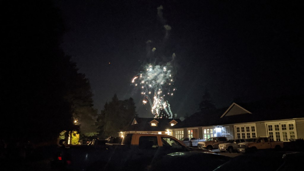
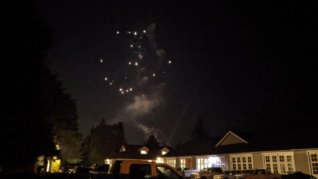
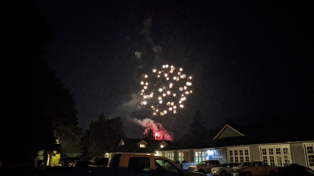
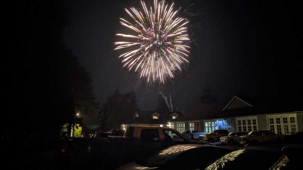
In the evening there was a fireworks display, which took place right next to the ranger station. I didn’t even have to leave my backyard to get a good view of the show.
Wikinic and my last time in Seattle (for now)
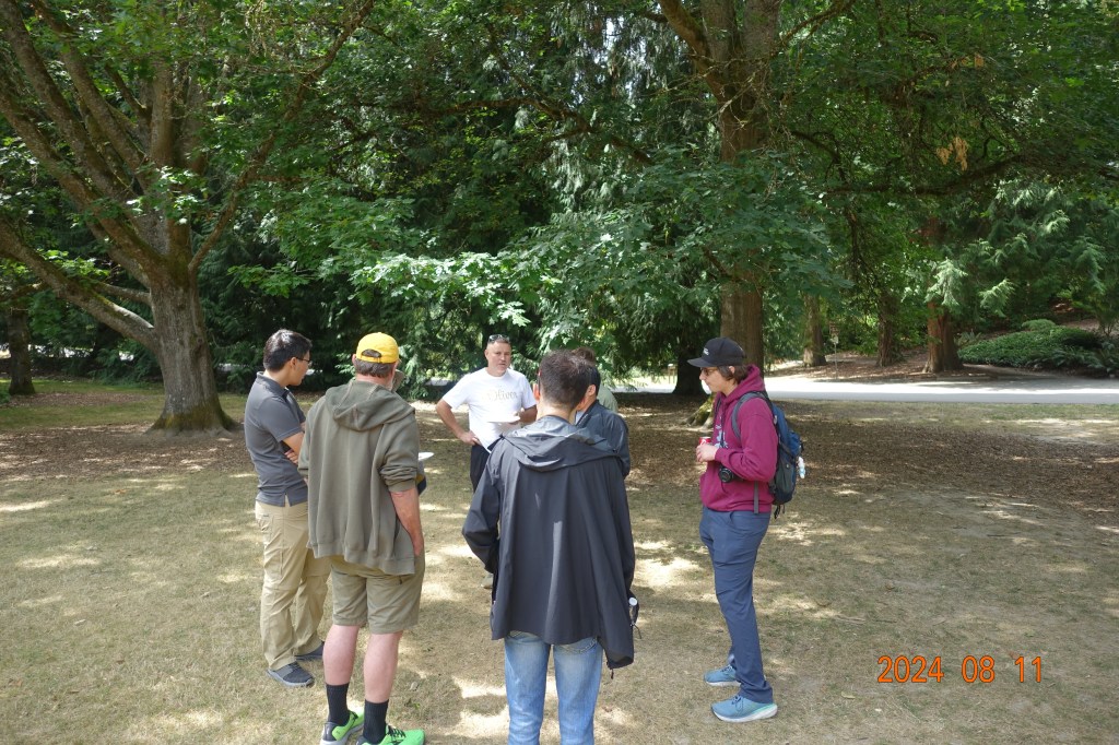
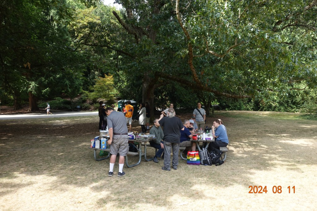
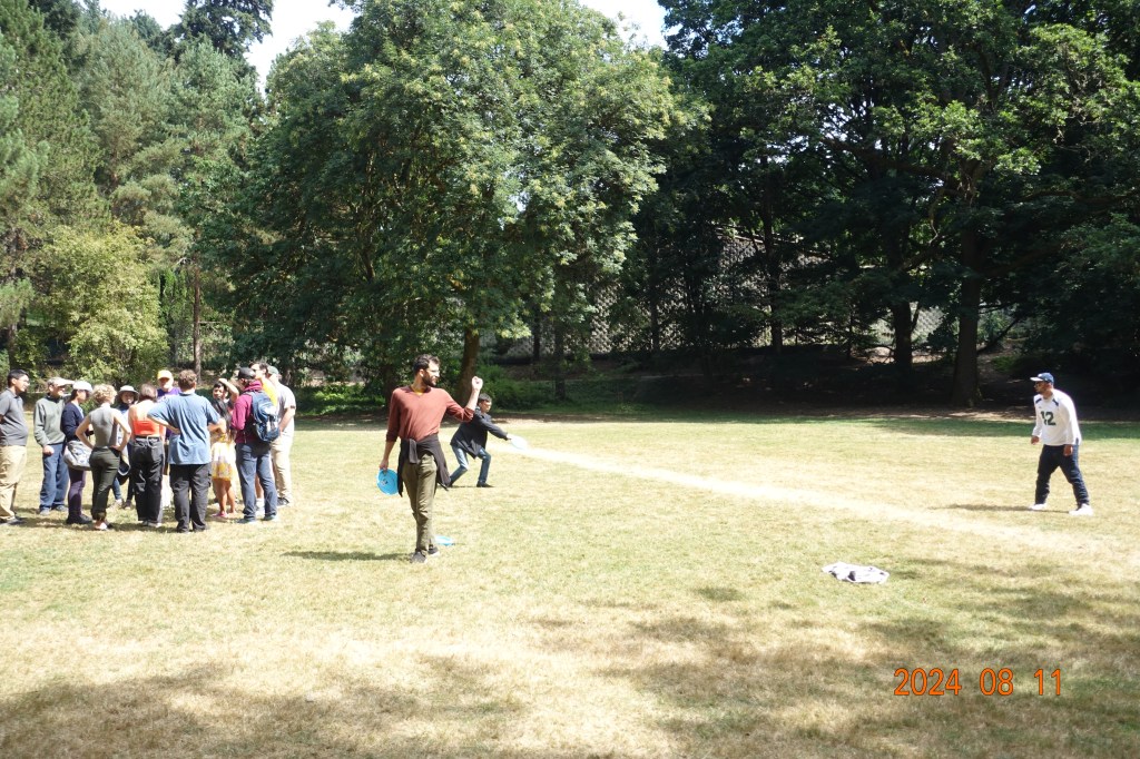
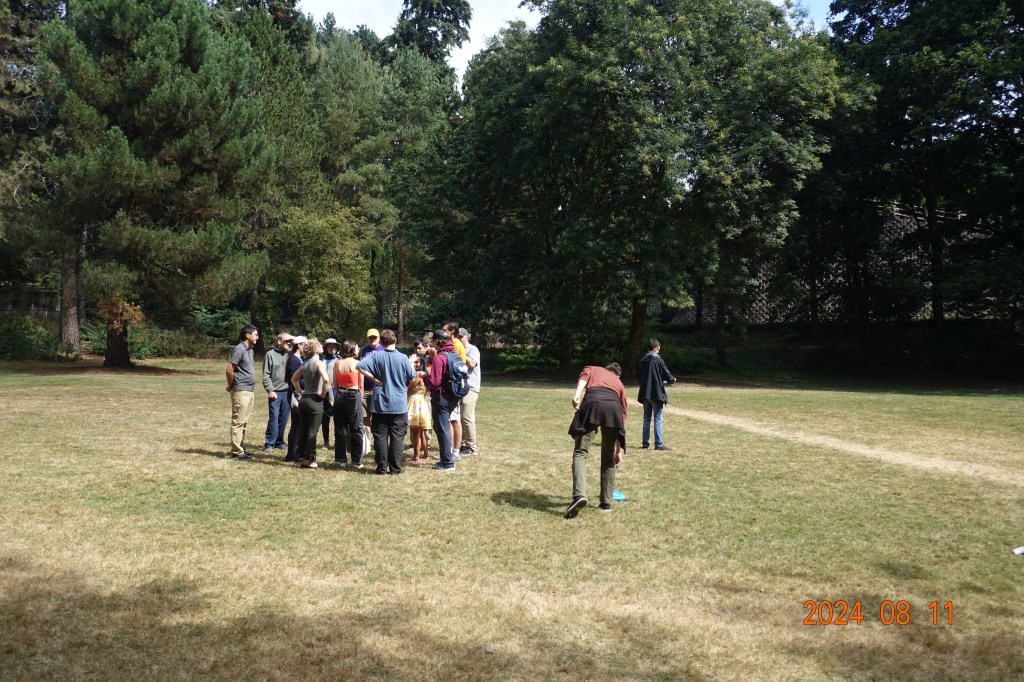
The last real event I went to in Seattle was the annual Wikipedia meetup in the University of Washington Arboretum. You’ll note that I am not in the picture on the Wikipedia page because I am the photographer!!
It was fun to be able to meet up with this cool little community, and I was surprised (and not surprised) to see that there were so many Wikipedians in the city. There was plenty of food and games all around, and I had some very interesting conversations about the I90 floating bridge, engineering, and the design of Seattle. If you’re ever in the area in August, you should definitely look to see if this is happening so you can attend!
Afterwards I tied up some loose ends that I never got around to doing in Seattle.
One of which was finally visiting the University of Washington.
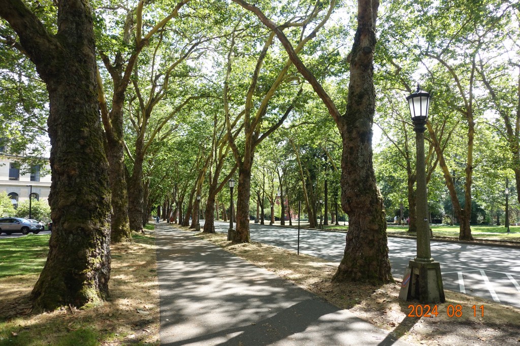
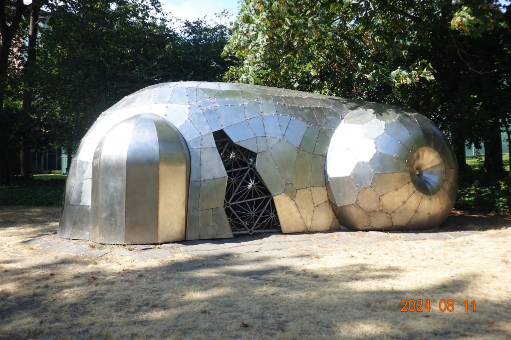
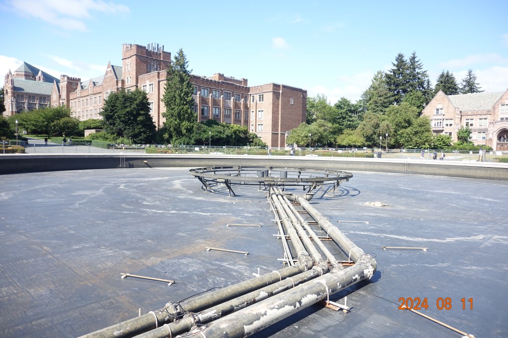
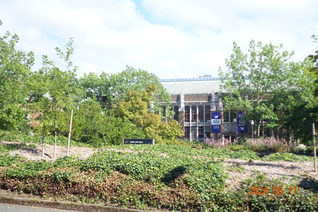
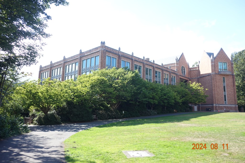
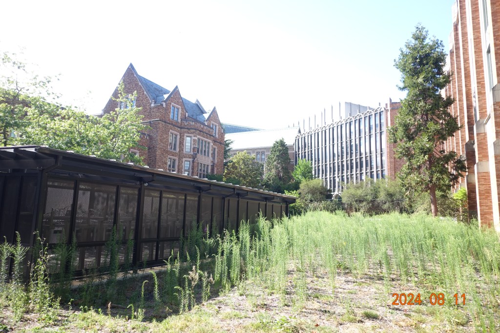
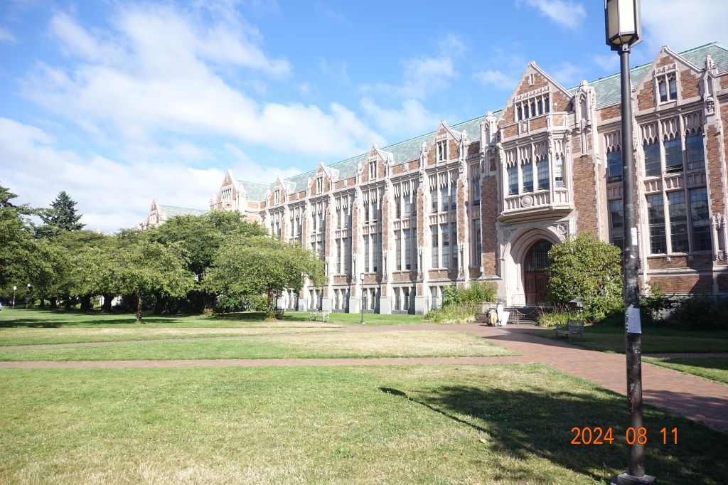
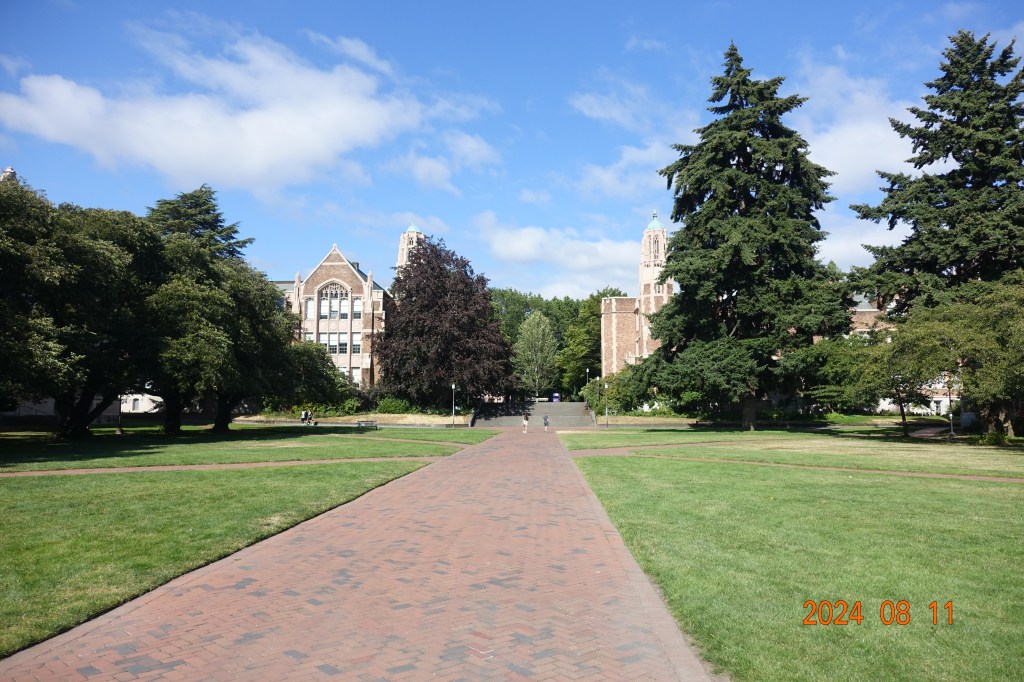
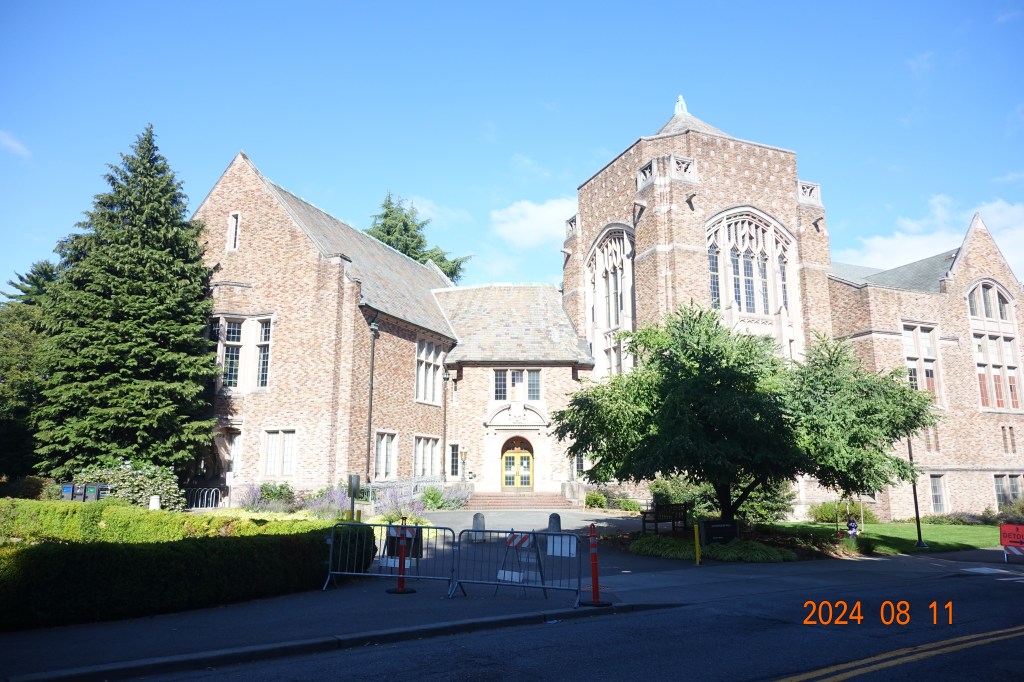
Here are some of the highlights from my walk around their campus. I really liked the architecture and it was interesting to see some of the designs that were carried over from when the Alaska-Yukon-Pacific Exposition was held in the city in 1907. Much of the campus is from around that time, but many buildings are from when it was first founded in 1861 and many more were built in recent years.
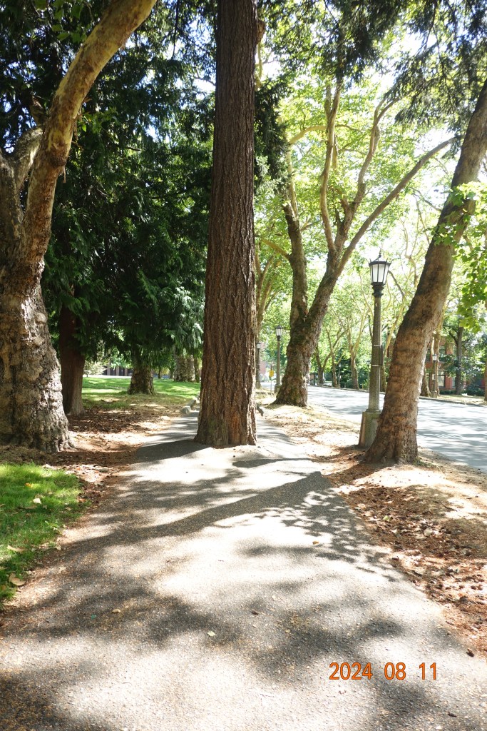
There are a lot of cool trees on their campus, which I enjoyed seeing, but I was disappointed to see this Douglas-fir planted so deeply in the soil and surrounded by pavement. It seems to be doing well, though!
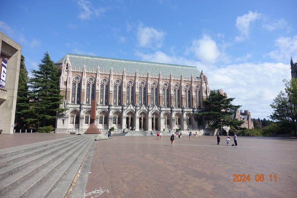
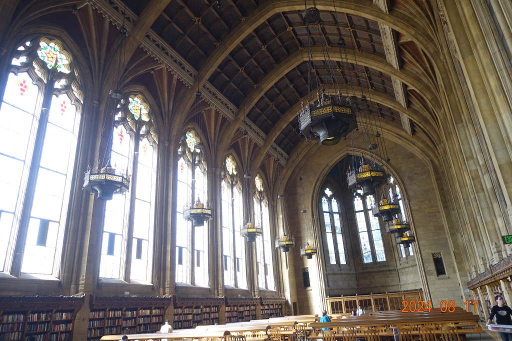
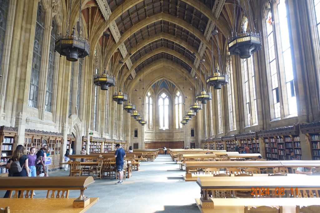
One of the highlights was seeing their old library building which has a unique gothic design
After checking out University of Washington, I made my final trek to see a very famous intersection that just got completed in downtown Seattle. In that article I linked you can watch a very informative video for how the intersection actually works.
Here is an overview of the intersection:
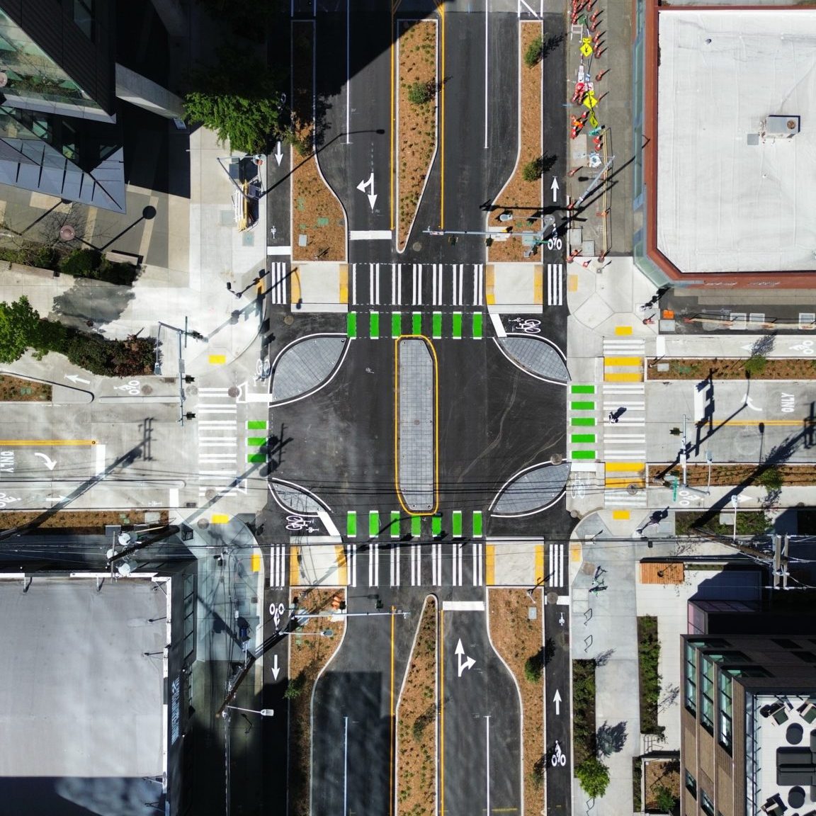
This is a protected intersection, or dutch-style intersection. The whole point of it is to be safer for cyclists and pedestrians to cross and to prevent potential conflict with cars.
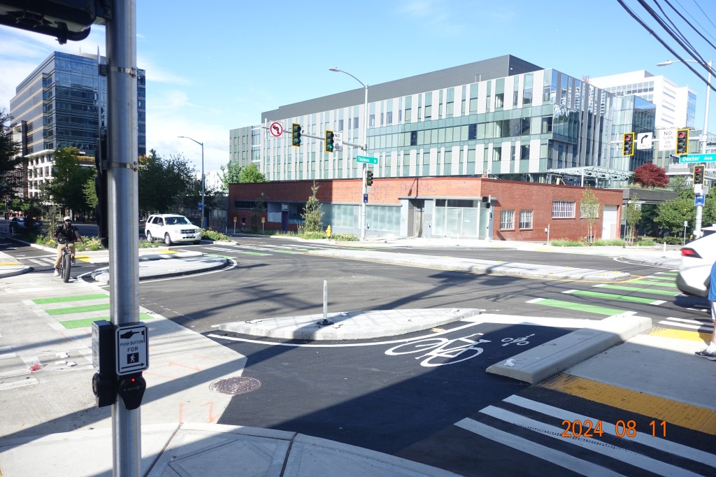
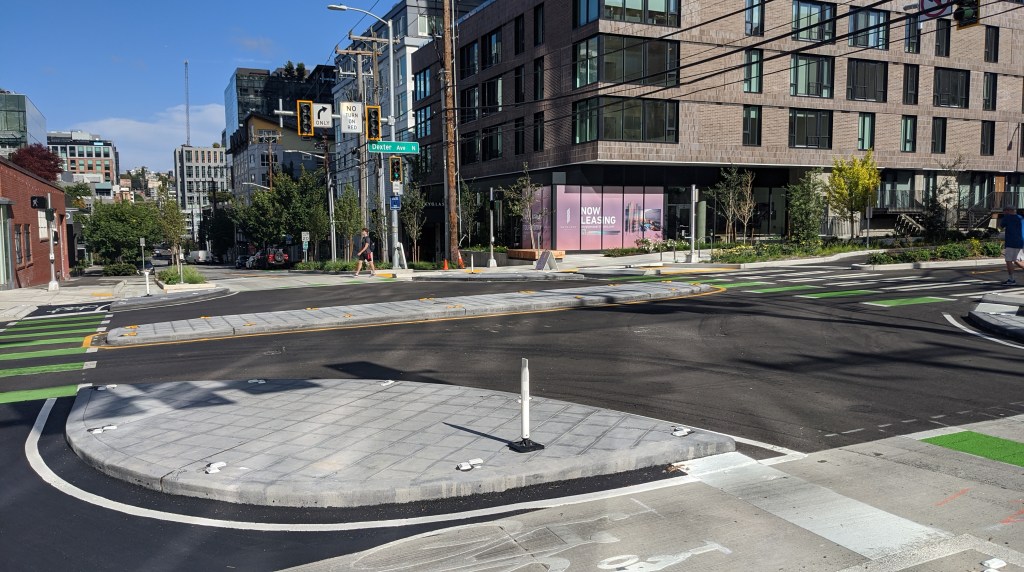
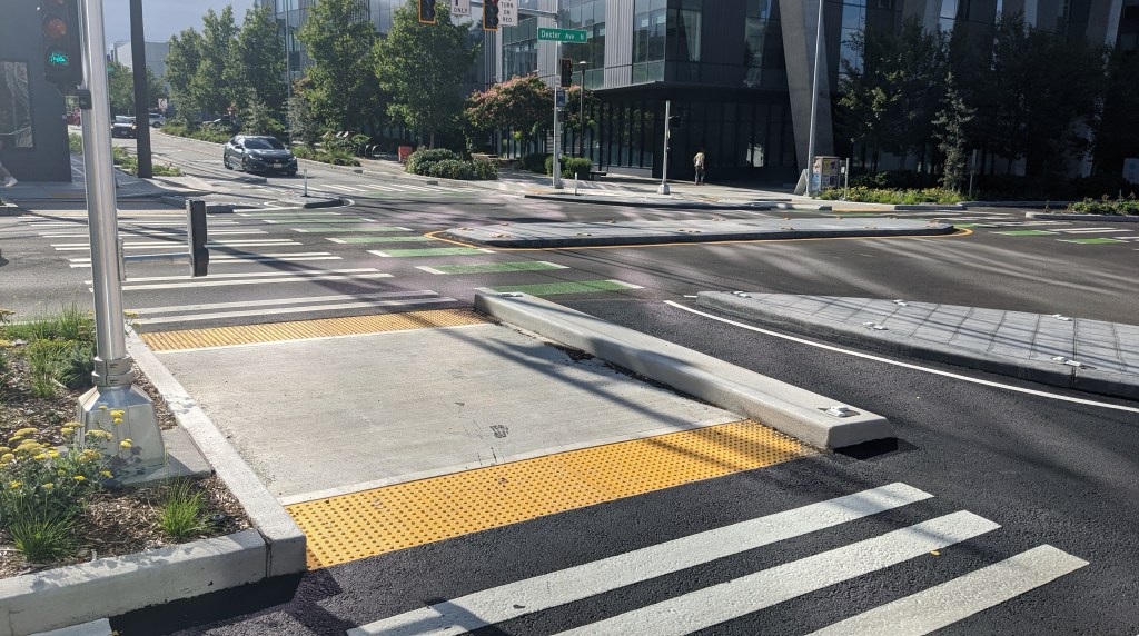
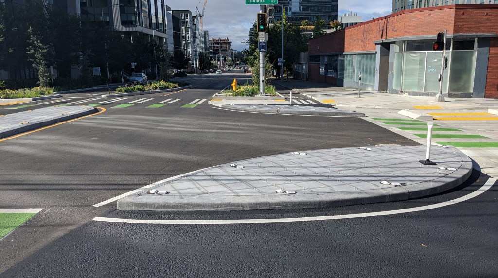
Here are some of the photos I got while using the intersection as a pedestrian. It felt extremely safe, and I could always see the traffic that I could potentially come into contact with at all times. There weren’t any real blind spots and cars could see me pretty well.
I am very impressed with this intersection and I hope that Seattle implements more of these in the future!
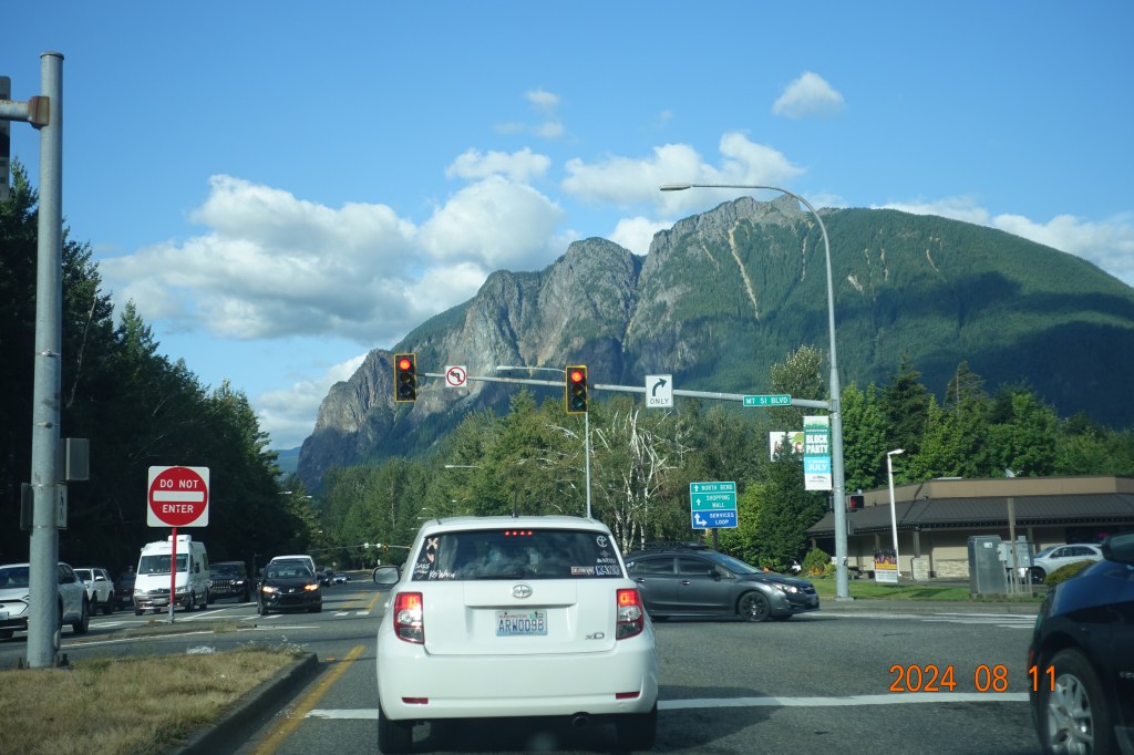
So that was my last time in Seattle, at least for now. Hopefully I will be back there soon to take more photos of intersections, contra dance, and look at bridges. After checking out the intersection I said goodbye to the Space Needle and headed back to North Bend. I was greeted by Mt. Si on my way in to town.

Leave a reply to johnna w. Cancel reply